Old Maps of Portage Township, Pennsylvania for Genealogy
Trace your family roots with 23 historic maps of Portage Township. These high-res maps reveal old neighborhoods, homesites, landmarks, and streets — helping you uncover where your ancestors lived and how the area evolved over time.
- Explore historic neighborhoods: Identify where your relatives may have lived in the 1800s or 1900s.
- Compare maps over time: Trace the changes in streets, buildings, and landmarks for multi-generational research.
- Perfect for genealogy & ancestry research: Used by family historians and researchers to map out lineage and migration.
These maps are an incredible resource for exploring your personal connection to Portage Township's past.
Portage Township, PA maps
(23)- 1945 Map of Driftwood, 1953 Print
 1945 Driftwood1953 Print · USGSCameron County communities thrive along the river bends and rail lines at the end of World War II. Researchers can trace the dual rail paths of the Pennsylvania and Baltimore and Ohio railroads through Driftwood and locate the First Fork Sch.4 unique versions available
 - 1945 Map of Cameron, 1958 Print
 1945 Cameron1958 Print · USGSCameron County in the 1940s is defined by the winding course of the Driftwood Branch Sinnemahoning Creek and its vital rail corridor. Researchers can trace family sites at Pine St Cem or explore the rugged topography of Mason Hill and Hunts Run.3 unique versions available
 - 1947 Map of Cameron
 1947 Cameron1947 Print · USGSCameron and Sterling Run are captured in the late 1940s as they follow the deep curves of the Driftwood Branch Sinnemahoning Creek. Local historians can trace family plots at Pine St Cem or locate the site of the early Slyder Airport near Hunts Run.2 unique versions available
 - 1948 Map of Emporium, 1952 Print
 1948 Emporium1952 Print · USGSThe northern Pennsylvania highlands come into focus in the late 1940s, showing a network of mountain settlements and headwater streams. You can trace family roots at Wharton Cem and St Marks Cem or locate old schoolhouse sites like Reesville Sch.3 unique versions available
 - 1948 Map of Emporium, 1958 Print
 1948 Emporium1958 Print · USGSEmporium and the Sinnemahoning valley are captured here just after the war, showing the railroad and highway networks through the Cameron County mountains. Genealogists can trace family names across Newton Cem, Sizerville, and Prospect Park.6 unique versions available
 - 1950 Map of Emporium
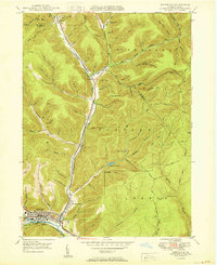 1950 Emporium1950 Print · USGSEmporium and the Sinnemahoning Creek valleys are captured here at mid-century, as the region's railroad era and timbering history met new state park conservation. Researchers can trace family plots at Newton Cem, old rail stops at Gardeau, and local paths like the Pine Camp Trail.
 - 1957 Map of Warren, 1964 Print
 1957 Warren1964 Print · USGSThe northern Pennsylvania oil and timber country comes into focus in the mid-fifties, showing the region before modern highway expansions. Trace the industrial rail networks of the Pennsylvania RR and the early Allegheny River Reservoir near Warren and Oil City.4 unique versions available
 - 1958 Map of Warren
 1958 Warren1958 Print · USGSNorthern Pennsylvania’s timber and oil country is captured here during the late fifties, showing the interplay of industrial valleys and vast state forests. Genealogists can trace family connections across the Cornplanter Indian Reservation or through rail hubs like Oil City and Saint Marys.
 - 1959 Map of Warren
 1959 Warren1959 Print · USGSNorthern Pennsylvania's oil and timber country comes alive in this late-fifties study of the forest-clad plateaus. Trace the historic Cornplanter (Indian Reservation), the sprawling Oil Field, and the rail lines of the Pennsylvania RR.2 unique versions available
 - 1971 Map of Warren
 1971 Warren1971 Print · USGSNorth Central Pennsylvania is captured here in the early seventies, showing a landscape defined by industrial centers and massive state forests. Genealogists and historians can trace the rail lines of the Penn Central and Erie Lackawanna connecting towns like Warren, Kane, and Du Bois.
 - 1980 Map of Bradford, 1982 Print
 1980 Bradford1982 Print · USGSNorthern Pennsylvania's oil country and deep forests are captured here during the 1980s. Genealogists and researchers can trace rail-side settlements like Kushequa, Gifford, and Lewis Run or locate specific Oil and Gas Field sites across the plateau.
 - 1983 Map of Clearfield, 1984 Print
 1983 Clearfield1984 Print · USGSPennsylvania's coal and timber heartland is captured in the early eighties as industrial hubs like Du Bois and Saint Marys thrived among the state forests. Genealogists can locate family landmarks like Morningside Cemetery, the old works at Dagus Mines, and the rural community of Byrnedale.
 - 1994 Map of Emporium, 1999 Print
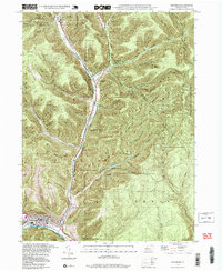 1994 Emporium1999 Print · USGSEmporium and the surrounding northern Pennsylvania highlands appear here at a time when the region's vast state forests and parks had fully matured. Genealogists and hikers can trace family names in Newton Cem or explore the rugged drainage of Sinnemahoning Creek via the Mc Dowell Trail.2 unique versions available
 - 2010 Map of Cameron, 2010 Print
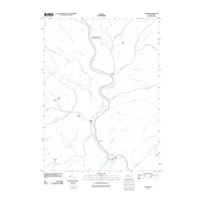 2010 Cameron2010 Print · USGSCameron and Lumber Township are shown here in the early twenty-first century, centered on the winding valleys of the Pennsylvania wilds. Researchers can locate family sites at Pine Saint Cemetery and trace the drainage of Canoe Run into the Driftwood Branch Sinnemahoning Creek.
 - 2010 Map of Emporium, 2010 Print
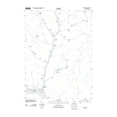 2010 Emporium2010 Print · USGSEmporium and the surrounding Cameron County valleys are shown in detail at the turn of the 21st century. Genealogists and local historians can locate Newton Cemetery, trace the rail corridor through Emporium Junction, and explore named hollows like Stone Chimney Hollow.
 - 2013 Map of Emporium, 2013 Print
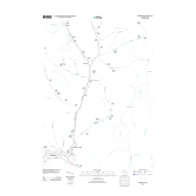 2013 Emporium2013 Print · USGSEmporium and the surrounding Cameron County valleys are captured in the early twenty-first century, showing the town's enduring layout at the river forks. Researchers can trace family names and local landmarks through sites like Sizerville, Lake Bucktail, and the many hollows such as Climax Hollow.
 - 2013 Map of Cameron, 2013 Print
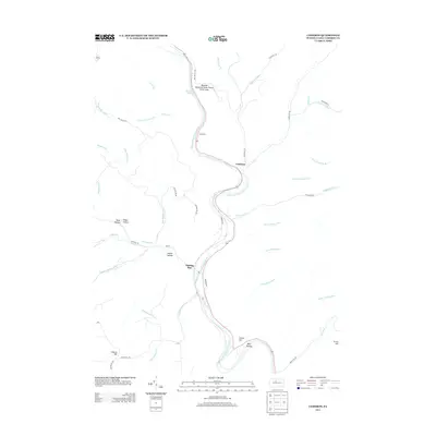 2013 Cameron2013 Print · USGSCameron County’s deep-cut valleys and creek-side settlements appear here in the early twenty-first century. Researchers can trace family names and local geography through landmarks like Sterling Run, Parker Hollow, and the Wayside Memorial State Forest Picnic Area.
 - 2016 Map of Cameron, 2016 Print
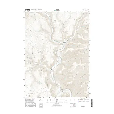 2016 Cameron2016 Print · USGSCameron County’s rugged valley terrain is on full display here as it appeared in the mid-2010s, centered on the Driftwood Branch Sinnemahoning Creek. Researchers can locate several rural burial sites, including Pine Saint Cem and Grove Hill Cem, or trace old routes to Mason Hill.
 - 2016 Map of Emporium, 2016 Print
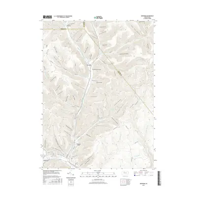 2016 Emporium2016 Print · USGSThe Cameron County seat and surrounding timberlands are documented in the mid-2010s, showing the town at the confluence of West Creek and Sinnemahoning Portage Creek. Genealogists can locate Newton Cem and Saint Marks Cem or trace family-named landmarks like McMann Hollow and Sizerville.
 - 2019 Map of Emporium, 2019 Print
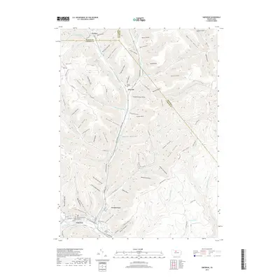 2019 Emporium2019 Print · USGSThe valley surrounding Emporium and Sizerville comes alive in this contemporary topographical view of north-central Pennsylvania. Researchers can locate family landmarks like Newton Cem and the Cameron County Courthouse among the deeply cut hollows of the Alleghenies.
 - 2019 Map of Cameron, 2019 Print
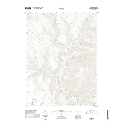 2019 Cameron2019 Print · USGSCameron County's valley settlements and steep ridges are documented here in the late twenty-teens. Local researchers can trace family landmarks and burial sites like Sterling Run Cem, Grove Hill Cem, and the village of Cameron along the river.
 - 2023 Map of Cameron, 2023 Print
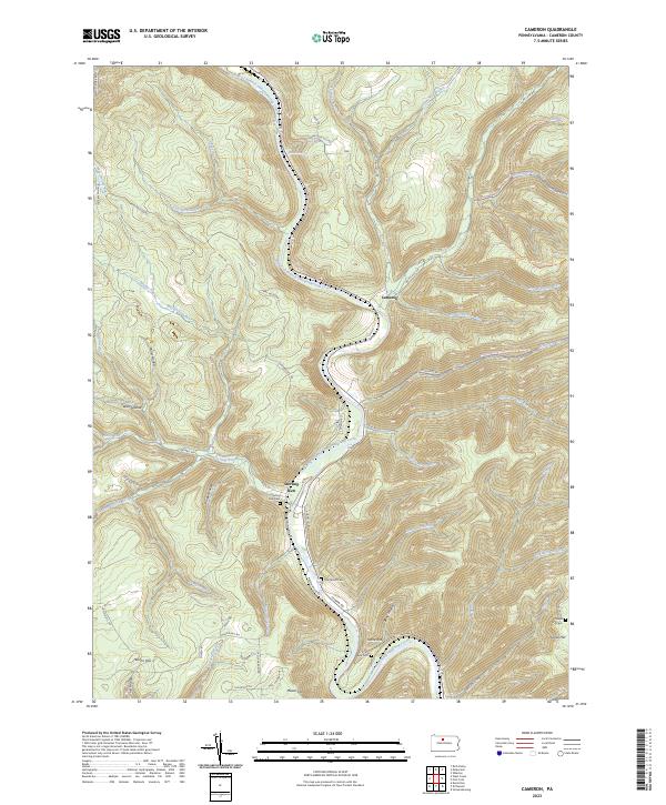 2023 Cameron2023 Print · USGSThe Driftwood Branch Sinnemahoning Creek valley near Sterling Run is shown here in the 2020s. Genealogists and hikers can trace family burial sites at Sterling Run Cem or explore the Bucktail Path Trl and Elk State Forest Snowmobile Trails Trl.
 - 2023 Map of Emporium, 2023 Print
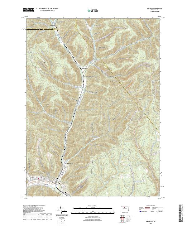 2023 Emporium2023 Print · USGSEmporium and the upper Sinnemahoning valley are shown here in the contemporary era, illustrating the deep-cut hollows of the Pennsylvania Wilds. Genealogists can locate family sites at Newton Cem and Portage Township Cem or trace the early paths of Gardeau.
End of results
Showing maps 1-23 of 23
Top cities near Portage Township
- Emporium historical maps
- Liberty Township historical maps
- Roulette Township historical maps
- Sweden Township historical maps
- Norwich Township historical maps
- Austin historical maps
See more
Top neighborhoods of Portage Township
Frequently asked questions
- What are the different types of historical maps available for Portage Township?
- What is the oldest map of Portage Township?
- Where can I purchase historical maps of Portage Township for my home or office?
- Where can I download high-res historical maps of Portage Township?
- Are there historical topographic maps available for Portage Township?
- Is there historical aerial imagery available for Portage Township?
- Where are historical maps of Portage Township sourced from?