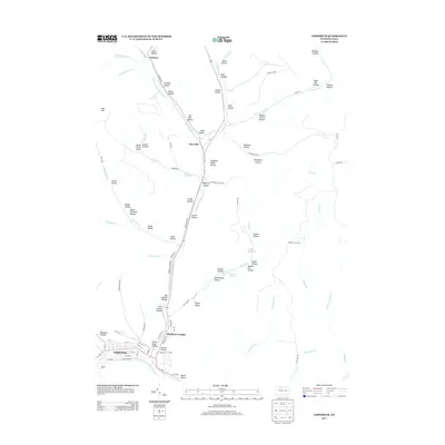
2013 Map of Emporium
USGS Topo · Published 2013About this map
Emporium sits at the confluence of West Creek and the Driftwood Branch Sinnemahoning Creek, serving as a central hub in Cameron County. This 2013 survey illustrates a landscape deeply shaped by its narrow valley corridors and the numerous named hollows that drain into the primary watercourses. The town structure is clearly defined around its industrial core at Emporium Junction, where rail lines and roads converged to service the local economy. Northward, the valley of Sinnemahoning Portage Creek connects small settlements like Sizerville and Gardeau. The terrain is characterized by intricate drainage networks including Salt Run and Cowley Run, with public land use evident at Sizerville Park. This map provides a clear view of modern infrastructure, from the residential streets of Prospect Park to the managed water resources of the Salt Run Reservoir.
Find a feature on this map
101 named features on this map. Tap any name to fly to it.
Don’t see what you’re looking for? This feature index may not catch every label — zoom into the map to look around manually.
Map Details
Editions of this 2013 Emporium Map
This is the sole edition of this map. No revisions or reprints were ever made.
Other maps of this area

1941 · Benezette
USGS Topo · 1:62,500

1943 · Benezette
USGS Topo · 1:62,500

1945 · Driftwood
USGS Topo · 1:48,000

1945 · First Fork
USGS Topo · 1:24,000

1945 · Cameron
USGS Topo · 1:24,000

1947 · Cameron
USGS Topo · 1:24,000

1947 · First Fork
USGS Topo · 1:24,000

1948 · Crosby
USGS Topo · 1:62,500

1948 · Emporium
USGS Topo · 1:62,500

1948 · Keating Summit
USGS Topo · 1:24,000
Featured Places
- Emporium, PA
- Norwich Township, PA
- Gardeau, Norwich Township
- Prospect Park, Shippen Township
- Lumber Township, PA