Old Maps of Rich Valley, Shippen Township for Hiking & Exploration
Hike through history with 13 historic maps of Rich Valley. Explore old trails, ghost towns, and forgotten backroads — perfect for outdoor adventurers and local explorers.
- Rediscover forgotten places: Map out old mining camps, roads, and footpaths that no longer exist on modern maps.
- Layer with modern tools: Combine with LiDAR or satellite views to plan hikes through historical terrain.
- Made for exploration: Popular among hikers, overlanders, and local history lovers.
Use these maps to find adventure and explore the hidden past of Rich Valley.
Rich Valley, Shippen Township maps
(13)- 1948 Map of Crosby, 1952 Print
 1948 Crosby1952 Print · USGSPost-war McKean and Cameron counties appear here as a landscape of mountain rail lines and valley settlements. Trace the Pennsylvania Railroad through Hamlin Sta, locate the Sweets Sch, or find family names near Clermont Cem.3 unique versions available
 - 1948 Map of Rich Valley, 1962 Print
 1948 Rich Valley1962 Print · USGSCameron County in the late 1940s is defined by its deep valleys and the winding path of the Sinnemahoning. Genealogists and historians can trace old homesteads and landmarks like Lockwood, the Swesey Sch, and the North Creek Chapel along the rail and river corridors.4 unique versions available
 - 1950 Map of Rich Valley
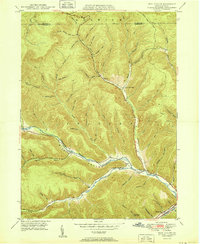 1950 Rich Valley1950 Print · USGSCameron and McKean counties in the early postwar era are defined by the steep hollows of the Pennsylvania Wilds. Genealogists can trace family names and small-town footprints at Lockwood, Weber City, and the North Creek Chapel.2 unique versions available
 - 1957 Map of Warren, 1964 Print
 1957 Warren1964 Print · USGSThe northern Pennsylvania oil and timber country comes into focus in the mid-fifties, showing the region before modern highway expansions. Trace the industrial rail networks of the Pennsylvania RR and the early Allegheny River Reservoir near Warren and Oil City.4 unique versions available
 - 1958 Map of Warren
 1958 Warren1958 Print · USGSNorthern Pennsylvania’s timber and oil country is captured here during the late fifties, showing the interplay of industrial valleys and vast state forests. Genealogists can trace family connections across the Cornplanter Indian Reservation or through rail hubs like Oil City and Saint Marys.
 - 1959 Map of Warren
 1959 Warren1959 Print · USGSNorthern Pennsylvania's oil and timber country comes alive in this late-fifties study of the forest-clad plateaus. Trace the historic Cornplanter (Indian Reservation), the sprawling Oil Field, and the rail lines of the Pennsylvania RR.2 unique versions available
 - 1971 Map of Warren
 1971 Warren1971 Print · USGSNorth Central Pennsylvania is captured here in the early seventies, showing a landscape defined by industrial centers and massive state forests. Genealogists and historians can trace the rail lines of the Penn Central and Erie Lackawanna connecting towns like Warren, Kane, and Du Bois.
 - 1980 Map of Bradford, 1982 Print
 1980 Bradford1982 Print · USGSNorthern Pennsylvania's oil country and deep forests are captured here during the 1980s. Genealogists and researchers can trace rail-side settlements like Kushequa, Gifford, and Lewis Run or locate specific Oil and Gas Field sites across the plateau.
 - 2010 Map of Rich Valley, 2010 Print
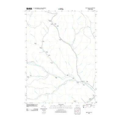 2010 Rich Valley2010 Print · USGSThe northern Pennsylvania highlands in the early 2000s are revealed through this detailed view of the Sinnemahoning watershed. Researchers can trace small communities like Rich Valley and Weber City alongside localized landmarks like Oil Well Hollow and the Emporium Reservoir Dam.
 - 2013 Map of Rich Valley, 2013 Print
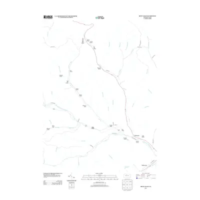 2013 Rich Valley2013 Print · USGSMcKean County's valley settlements and deep mountain hollows are shown here as they appeared in 2013. Trace the geography of small communities like Rich Valley and Lockwood, or locate historical features like Oil Well Hollow and the Emporium Reservoir.
 - 2016 Map of Rich Valley, 2016 Print
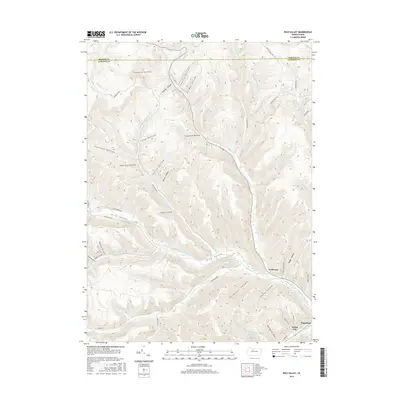 2016 Rich Valley2016 Print · USGSThe Driftwood Branch Sinnemahoning Creek corridor in McKean and Cameron Counties is shown here in the mid-2010s. Local researchers can trace the valley settlements of Lockwood and Weber City or locate family landmarks like Chadwick Draft.
 - 2019 Map of Rich Valley, 2019 Print
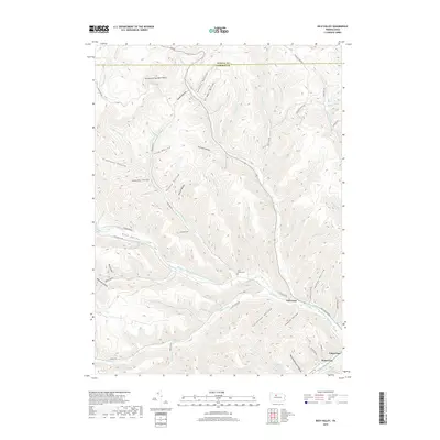 2019 Rich Valley2019 Print · USGSRich Valley and the rugged border of McKean and Cameron counties are captured in this recent survey. Local historians can trace the creek-side settlements of Emporium, Lockwood, and Weber City, or locate family sites at the Rich Valley Cem.
 - 2023 Map of Rich Valley, 2023 Print
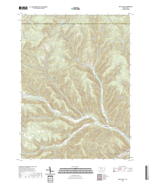 2023 Rich Valley2023 Print · USGSRich Valley and the surrounding Cameron County hollows are shown in detail as they appeared recently. Genealogists and hikers can trace local landmarks like Rich Valley Cem, the small hamlet of Lockwood, and the West Creek Recreational Trail near Emporium.
End of results
Showing maps 1-13 of 13
Top cities near Rich Valley
- Saint Marys historical maps
- Emporium historical maps
- Liberty Township historical maps
- Roulette Township historical maps
- Norwich Township historical maps
- Benezette Township historical maps
See more
Frequently asked questions
- What are the different types of historical maps available for Rich Valley?
- What is the oldest map of Rich Valley?
- Where can I purchase historical maps of Rich Valley for my home or office?
- Where can I download high-res historical maps of Rich Valley?
- Are there historical topographic maps available for Rich Valley?
- Is there historical aerial imagery available for Rich Valley?
- Where are historical maps of Rich Valley sourced from?