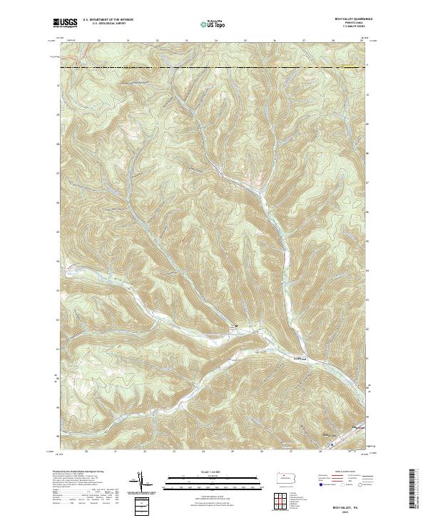
2023 Map of Rich Valley
USGS Topo · Published 2023About this map
Driftwood Branch Sinnemahoning Creek carves through the center of this Pennsylvania landscape, creating the prominent Rich Valley corridor that defines the area's geography. The settlement patterns follow the water, with the Rich Valley Cem and the small cluster at Lockwood positioned along the creek's banks. To the southeast, the landscape transitions toward the borough of Emporium, where the Emporium Reservoir and the West Creek Recreational Trail reflect modern land use and resource management.
Find a feature on this map
66 named features on this map. Tap any name to fly to it.
Don’t see what you’re looking for? This feature index may not catch every label — zoom into the map to look around manually.
Map Details
Editions of this 2023 Rich Valley Map
This is the sole edition of this map. No revisions or reprints were ever made.
Historical Maps of Rich Valley Through Time
14 maps found
1945 Cameron
Cameron County, PA
1945 First Fork
Cameron County, PA
1945 Sinnemahoning
Cameron County, PA
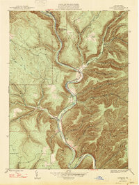
1947 Cameron
Cameron County, PA

1947 First Fork
Cameron County, PA

1947 Sinnemahoning
Cameron County, PA
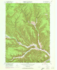
1948 Rich Valley
Cameron County, PA
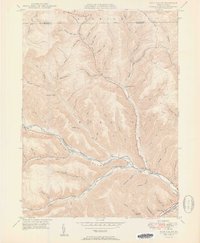
1950 Rich Valley
Cameron County, PA
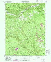
1969 West Creek
Cameron County, PA
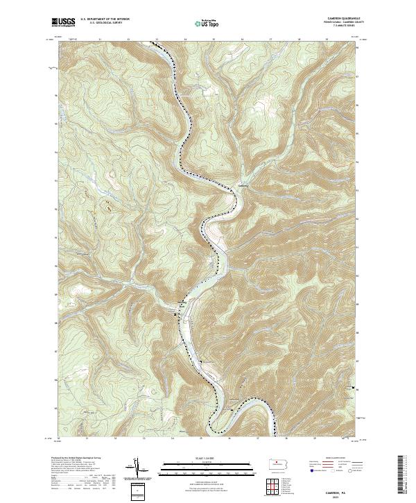
2023 Cameron
Cameron County, PA
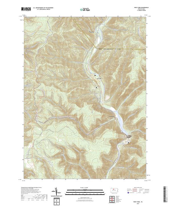
2023 First Fork
Cameron County, PA
2023 Rich Valley
Cameron County, PA
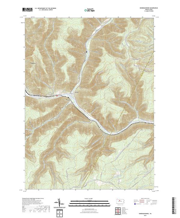
2023 Sinnemahoning
Cameron County, PA
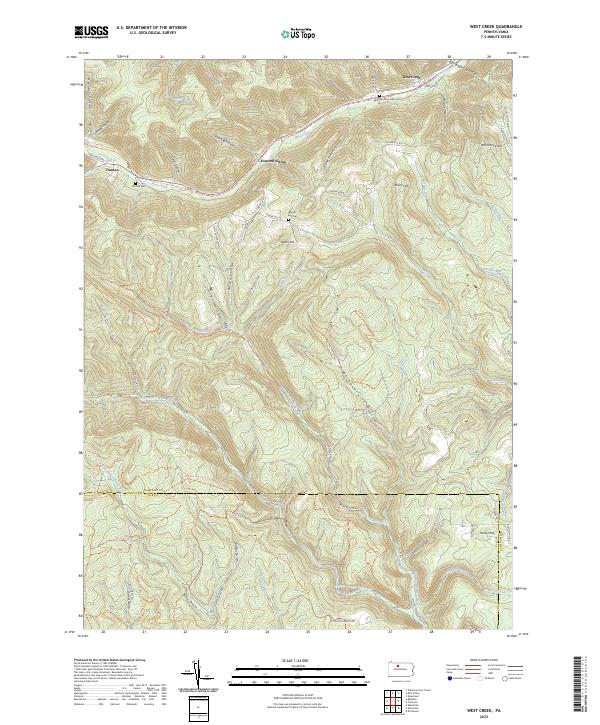
2023 West Creek
Cameron County, PA
Featured Locations
- Shippen Township, PA
- Norwich Township, PA
- Weber City, Shippen Township
- Lawn View, Shippen Township
- Lockwood, Shippen Township