
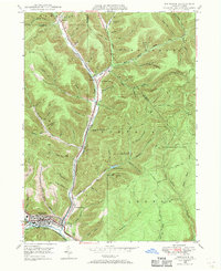
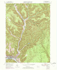
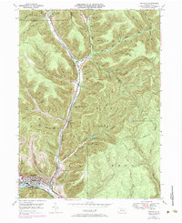
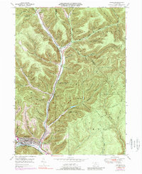
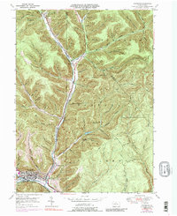
1948 Map of Emporium
USGS Topo · Published 1958About this map
Emporium sits at the junction of Sinnemahoning Creek and Salt Run in this mid-century portrait of Cameron County. The valley floors are busy with the infrastructure of the Pennsylvania railroad and Pennsylvania 155, which trace the narrow corridors carved by the creek. Settlement is concentrated in the southern basin at Newton and Prospect Park, while the northern reaches transitions into the deeply dissected plateaus of the Portage and Lumber townships. Local landmarks such as Sizerville Park and the Upper Reservoir highlight the region's managed water resources. For genealogists, the map preserves the locations of Newton Cem and St Marks Cem, alongside numerous family-named hollows like McDowell Trail, Bauer Hollow, and Lucore Hollow that define the local topography.
Find a feature on this map
87 named features on this map. Tap any name to fly to it.
Don’t see what you’re looking for? This feature index may not catch every label — zoom into the map to look around manually.
Map Details
Editions of this 1948 Emporium Map
6 editions found
Other maps of this area

1941 · Benezette
USGS Topo · 1:62,500

1943 · Benezette
USGS Topo · 1:62,500

1945 · Driftwood
USGS Topo · 1:48,000

1945 · First Fork
USGS Topo · 1:24,000

1945 · Cameron
USGS Topo · 1:24,000

1947 · Cameron
USGS Topo · 1:24,000

1947 · First Fork
USGS Topo · 1:24,000

1948 · Crosby
USGS Topo · 1:62,500

1948 · Emporium
USGS Topo · 1:62,500

1948 · Keating Summit
USGS Topo · 1:24,000