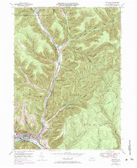
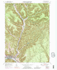
1948 Map of Emporium
USGS Topo · Published 1984About this map
The borough of Emporium serves as the industrial and civic heart of this mountain landscape at the confluence of Sinnemahoning Creek and its west branch. The 1948 geography, updated in the early 1970s, captures the tight valley settlements and transportation corridors that define this portion of Cameron County. The Penn Central railroad tracks parallel the Sinnemahoning Portage Creek, following the natural level grade through the deep hollows. This alignment illustrates the historical reliance on narrow valley floors for both rail and road infrastructure in northern Pennsylvania.
Find a feature on this map
81 named features on this map. Tap any name to fly to it.
Don’t see what you’re looking for? This feature index may not catch every label — zoom into the map to look around manually.
Map Details
Editions of this 1948 Emporium Map
6 editions found

Other maps of this area

1941 · Benezette
USGS Topo · 1:62,500

1943 · Benezette
USGS Topo · 1:62,500

1945 · Driftwood
USGS Topo · 1:48,000

1945 · First Fork
USGS Topo · 1:24,000

1945 · Cameron
USGS Topo · 1:24,000

1947 · Cameron
USGS Topo · 1:24,000

1947 · First Fork
USGS Topo · 1:24,000

1948 · Crosby
USGS Topo · 1:62,500

1948 · Emporium
USGS Topo · 1:62,500

1948 · Keating Summit
USGS Topo · 1:24,000