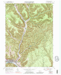
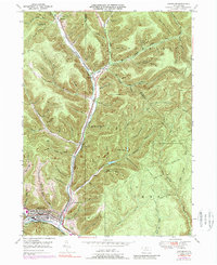
1948 Map of Emporium
USGS Topo · Published 1989About this map
Emporium serves as the industrial and civic anchor at the confluence of Sinnemahoning Creek and the West Cr Branch Sinnemahoning Creek. The landscape is defined by the narrow valleys of the Pennsylvania Wilds, where the Penn Central railroad snakes along the creek bed to connect remote settlements like Sizerville and Gardeau. The map reveals a transition from the dense urban grid of the borough to the surrounding forest lands, including Sizerville Park and the high ridges of Doll Hill. Local history is preserved in landmarks such as Newton Cem and Marks Cent, while the presence of the Salt Run Reservoir and Upper Reservoir indicates the critical importance of water management for the valley's residents and industry. Numerous logging and hiking routes, including the McDowell Trail and Chicago Springs Trail, lattice the tributary hollows, tracing the area's long-standing relationship with the timber industry.
Find a feature on this map
74 named features on this map. Tap any name to fly to it.
Don’t see what you’re looking for? This feature index may not catch every label — zoom into the map to look around manually.
Map Details
Editions of this 1948 Emporium Map
6 editions found

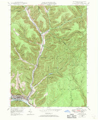
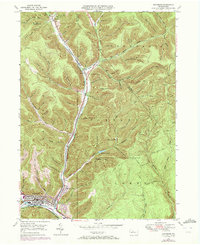
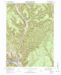
Other maps of this area

1941 · Benezette
USGS Topo · 1:62,500

1943 · Benezette
USGS Topo · 1:62,500

1945 · Driftwood
USGS Topo · 1:48,000

1945 · First Fork
USGS Topo · 1:24,000

1945 · Cameron
USGS Topo · 1:24,000

1947 · Cameron
USGS Topo · 1:24,000

1947 · First Fork
USGS Topo · 1:24,000

1948 · Crosby
USGS Topo · 1:62,500

1948 · Emporium
USGS Topo · 1:62,500

1948 · Keating Summit
USGS Topo · 1:24,000