Old Maps of Huston Township, Pennsylvania for Hiking & Exploration
Hike through history with 47 historic maps of Huston Township. Explore old trails, ghost towns, and forgotten backroads — perfect for outdoor adventurers and local explorers.
- Rediscover forgotten places: Map out old mining camps, roads, and footpaths that no longer exist on modern maps.
- Layer with modern tools: Combine with LiDAR or satellite views to plan hikes through historical terrain.
- Made for exploration: Popular among hikers, overlanders, and local history lovers.
Use these maps to find adventure and explore the hidden past of Huston Township.
Huston Township, PA maps
(47)- 1908 Map of Bellefonte, 1956 Print
 1908 Bellefonte1956 Print · USGSCentre County at the opening of the twentieth century is a landscape of thriving rail hubs and early academic growth. Genealogists and local historians can trace the foundations of Pennsylvania State College and locate vanished rural landmarks like the Silverdale School or Scotia Benore PO.3 unique versions available
 - 1909 Map of Bellefonte
 1909 Bellefonte1909 Print · USGSCentre County at the turn of the century shows a burgeoning academic and industrial landscape centered on the early campus of Pennsylvania State College. Genealogists can trace family names through rural landmarks like Scotia Benore PO, Fairview Church, and the Silverdale School.7 unique versions available
 - 1922 Map of Philipsburg
 1922 Philipsburg1922 Print · USGSPhilipsburg and the northern Allegheny coalfields are captured here in the early twenties during a period of heavy rail and mining activity. Genealogists can trace family locations through dozens of named rural schoolhouses like Klondike School and industrial sites including Cuba Mines and the Central RR of Pennsylvania.3 unique versions available
 - 1939 Map of Philipsburg, 1955 Print
 1939 Philipsburg1955 Print · USGSCentral Pennsylvania’s coal and iron country is captured here during the late thirties, showing the rail-linked settlements of the Moshannon Valley. Researchers can trace family roots at Black Oak Sch, find old industrial sites like Martha Furnace, or locate the Rusnak Mine.2 unique versions available
 - 1943 Map of Lewistown
 1943 Lewistown1943 Print · USGSCentral Pennsylvania's rugged ridge-and-valley landscape is documented here during the mid-forties, showing the deep integration of rail lines and mountain gaps. Genealogists can trace family footprints through numerous rural landmarks like Emma Chapel, Mattern Junction, and the McNitt School.
 - 1945 Map of Philipsburg
 1945 Philipsburg1945 Print · USGSPhilipsburg and the central Pennsylvania coal country are shown here in the mid-1940s as industry and recreation shaped the landscape. Researchers can trace the legacy of the NEW YORK CENTRAL railroad, find the site of Martha Furnace, or locate rural schools like Hope Sch and Black Oak Sch.
 - 1950 Map of Harrisburg, 1952 Print
 1950 Harrisburg1952 Print · USGSMid-century Central Pennsylvania comes alive through its dense rail networks and river valley settlements during the post-war industrial era. Genealogists and historians can trace family roots through hubs like Harrisburg, locate Carlisle Barracks, or follow the Pennsylvania RR through the Lebanon Valley.
 - 1953 Map of Pittsburgh
 1953 Pittsburgh1953 Print · USGSWestern Pennsylvania's industrial landscape at the start of the fifties shows the steel and rail corridors between Pittsburgh and Altoona. Trace family roots in river towns like Tarentum or follow the Pennsylvania Turnpike across Laurel Hill.
 - 1954 Map of Pittsburgh
 1954 Pittsburgh1954 Print · USGSWestern Pennsylvania in the early fifties remains a powerhouse of heavy industry and vital transit corridors. Genealogists and historians can trace the rail-and-river network connecting Pittsburgh, Johnstown, and Altoona via the Pennsylvania RR and the Lincoln Highway.2 unique versions available
 - 1957 Map of Harrisburg
 1957 Harrisburg1957 Print · USGSMid-century Central Pennsylvania comes into focus as a bustling network of rail, river, and mountain ridges. Genealogists and historians can trace the development of the State Capitol and surrounding hubs like Middletown, Columbia, and Pottsville.7 unique versions available
 - 1958 Map of Pittsburgh
 1958 Pittsburgh1958 Print · USGSWestern Pennsylvania in the late fifties shows an industrial heartland defined by the confluence of the Allegheny River and Monongahela River. Researchers can trace the sprawling rail networks of the Pennsylvania RR and find established towns like Butler, Latrobe, and Windber.5 unique versions available
 - 1959 Map of Pittsburgh
 1959 Pittsburgh1959 Print · USGSWestern Pennsylvania in the late fifties is captured here at the height of its industrial era. Genealogists and historians can trace the riverfront growth of Pittsburgh, the rail works at Altoona, and the mountain gaps of Laurel Hill.
 - 1959 Map of Port Matilda, 1960 Print
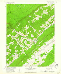 1959 Port Matilda1960 Print · USGSPort Matilda and the Bald Eagle Creek valley are captured here in the late fifties, showing a landscape defined by the railroad and mountain gaps. Trace family history at Blackoak Ch or explore the old industrial site at Martha Furnace.4 unique versions available
 - 1959 Map of Black Moshannon, 1960 Print
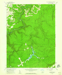 1959 Black Moshannon1960 Print · USGSThe Pennsylvania Alleghenies are shown in the late fifties as a landscape defined by state forests and coal extraction. Genealogists and historians can trace the New York Central rail line through Grassflat or locate the Rattlesnake Lookout Tower and Black Moshannon Dam.3 unique versions available
 - 1961 Map of Harrisburg
 1961 Harrisburg1961 Print · USGSCentral Pennsylvania is shown at a mid-century peak of industrial and military activity, from the Susquehanna water gaps to the fertile Dutch Country. Genealogists and historians can trace the rail corridors of the Pennsylvania RR and find landmarks like Carlisle Barracks or the Anthracite Coal Fields.2 unique versions available
 - 1962 Map of Bear Knob, 1964 Print
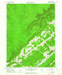 1962 Bear Knob1964 Print · USGSCentre County's rugged ridge-and-valley landscape is documented here in the early sixties, showing the transition from mountain wilderness to valley settlements. Local historians can trace family sites at Unionville, Dicks Run Cem, and the Bush Hollow Ch.2 unique versions available
 - 1962 Map of Julian, 1965 Print
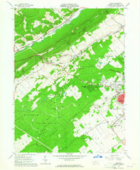 1962 Julian1965 Print · USGSCentre County centers on the growth of State College and The Pennsylvania State University in the early sixties. Researchers can find old transportation routes like the Old Railroad Grade and local landmarks including Pine Hall and the State College Air Depot.5 unique versions available
 - 1964 Map of Pittsburgh
 1964 Pittsburgh1964 Print · USGSWestern Pennsylvania in the late fifties and early sixties shows a landscape of powerful river industries and expanding highways. Genealogists and historians can trace the rail corridors of the Pennsylvania RR through industrial hubs like Johnstown, Altoona, and Nanty Glo.
 - 1964 Map of Harrisburg
 1964 Harrisburg1964 Print · USGSCentral Pennsylvania in the mid-fifties reveals a landscape shaped by ridge-and-valley geology and critical Cold War infrastructure. Researchers can trace the massive Indiantown Gap Military Reservation or the rail corridors of the Pennsylvania RR and Reading RR.
 - 1977 Map of Julian, 1979 Print
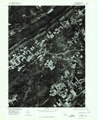 1977 Julian1979 Print · USGSCentre County in the late seventies is captured here at a moment of transition between its deep agricultural roots and rapid suburban growth. Researchers can trace the development of STATE COLLEGE and the rural layout of JULIAN along Bald Eagle Creek.
 - 1984 Map of Tyrone, 1985 Print
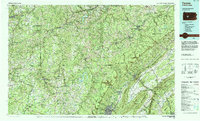 1984 Tyrone1985 Print · USGSCentral Pennsylvania in the mid-eighties shows a rugged landscape defined by the industry of Altoona and the ridges of the Appalachians. Genealogists and historians can trace the rail corridors of CONRAIL and locate vanished family homes near Glendale Lake or within Sinking Valley.
 - 1984 Map of State College, 1985 Print
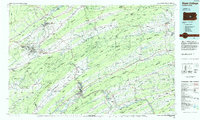 1984 State College1985 Print · USGSCentral Pennsylvania’s Ridge-and-Valley province is captured here in the mid-eighties, showing the deep connection between the mountain terrain and the region's historic settlements. Researchers can trace the layout of Pennsylvania State University and follow old rail corridors like the Bellefonte Historical RR and Conrail.
 - 1988 Map of State College, 1989 Print
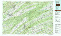 1988 State College1989 Print · USGSCentral Pennsylvania in the late eighties shows the sprawling influence of Pennsylvania State University against a backdrop of ancient ridges. Genealogists can trace family landmarks like Church Hill Church and the Bellefonte Cemetery across the deep valleys.
 - 1994 Map of Port Matilda, 1997 Print
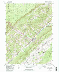 1994 Port Matilda1997 Print · USGSPort Matilda and the Bald Eagle Valley are shown here in the mid-1990s, capturing the interface between deep state forests and valley settlements. Researchers can trace family sites at Martha Furnace, Stormstown, and the Brown Cem near the mountain ridge.
 - 1994 Map of Black Moshannon, 1997 Print
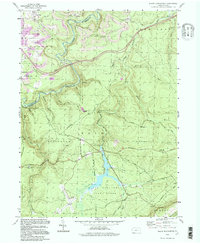 1994 Black Moshannon1997 Print · USGSCentre and Clearfield Counties in the 1990s show a landscape of high-plateau wilderness preserved alongside active coal mining operations. Researchers can trace historical forest management at the Rattlesnake Lookout Tower or locate the village sites of Grassflat and Peale.
Showing maps 1-25 of 47
Top cities near Huston Township
- State College historical maps
- Bellefonte historical maps
- Boalsburg historical maps
- Pleasant Gap historical maps
- Houserville historical maps
- Warriors Mark Township historical maps
See more
Top neighborhoods of Huston Township
Frequently asked questions
- What are the different types of historical maps available for Huston Township?
- What is the oldest map of Huston Township?
- Where can I purchase historical maps of Huston Township for my home or office?
- Where can I download high-res historical maps of Huston Township?
- Are there historical topographic maps available for Huston Township?
- Is there historical aerial imagery available for Huston Township?
- Where are historical maps of Huston Township sourced from?