Old Maps of Country Club Park, Pennsylvania for Genealogy
Trace your family roots with 17 historic maps of Country Club Park. These high-res maps reveal old neighborhoods, homesites, landmarks, and streets — helping you uncover where your ancestors lived and how the area evolved over time.
- Explore historic neighborhoods: Identify where your relatives may have lived in the 1800s or 1900s.
- Compare maps over time: Trace the changes in streets, buildings, and landmarks for multi-generational research.
- Perfect for genealogy & ancestry research: Used by family historians and researchers to map out lineage and migration.
These maps are an incredible resource for exploring your personal connection to Country Club Park's past.
Country Club Park, PA maps
(17)- 1924 Map of Centre Hall, 1958 Print
 1924 Centre Hall1958 Print · USGSCentral Pennsylvania's ridge-and-valley landscape is captured here in the 1920s, showing a world of limestone springs and mountain gaps. Genealogists can locate family homesteads near Old Fort, Tusseyville, and dozens of rural schoolhouses like Gentzel School.2 unique versions available
 - 1929 Map of Centre Hall
 1929 Centre Hall1929 Print · USGSCentral Pennsylvania's ridge-and-valley country is shown here in the late 1920s as a landscape of rural schools and water mills. Genealogists can trace family footprints at Old Fort, Penn Cave, and dozens of school sites like Gentzel School.4 unique versions available
 - 1943 Map of Lewistown
 1943 Lewistown1943 Print · USGSCentral Pennsylvania's rugged ridge-and-valley landscape is documented here during the mid-forties, showing the deep integration of rail lines and mountain gaps. Genealogists can trace family footprints through numerous rural landmarks like Emma Chapel, Mattern Junction, and the McNitt School.
 - 1950 Map of Harrisburg, 1952 Print
 1950 Harrisburg1952 Print · USGSMid-century Central Pennsylvania comes alive through its dense rail networks and river valley settlements during the post-war industrial era. Genealogists and historians can trace family roots through hubs like Harrisburg, locate Carlisle Barracks, or follow the Pennsylvania RR through the Lebanon Valley.
 - 1957 Map of Harrisburg
 1957 Harrisburg1957 Print · USGSMid-century Central Pennsylvania comes into focus as a bustling network of rail, river, and mountain ridges. Genealogists and historians can trace the development of the State Capitol and surrounding hubs like Middletown, Columbia, and Pottsville.7 unique versions available
 - 1961 Map of Harrisburg
 1961 Harrisburg1961 Print · USGSCentral Pennsylvania is shown at a mid-century peak of industrial and military activity, from the Susquehanna water gaps to the fertile Dutch Country. Genealogists and historians can trace the rail corridors of the Pennsylvania RR and find landmarks like Carlisle Barracks or the Anthracite Coal Fields.2 unique versions available
 - 1964 Map of Harrisburg
 1964 Harrisburg1964 Print · USGSCentral Pennsylvania in the mid-fifties reveals a landscape shaped by ridge-and-valley geology and critical Cold War infrastructure. Researchers can trace the massive Indiantown Gap Military Reservation or the rail corridors of the Pennsylvania RR and Reading RR.
 - 1966 Map of Centre Hall, 1968 Print
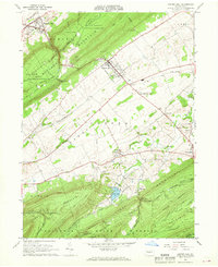 1966 Centre Hall1968 Print · USGSPenn Valley and the surrounding ridges of central Pennsylvania are captured here in the mid-1960s, a period of established university research and state forest conservation. Researchers can trace the railroad corridor of the Penn Central or locate family sites near Tusseyville, Potters Mills, and the Egg Hill Cem.3 unique versions available
 - 1977 Map of Centre Hall, 1979 Print
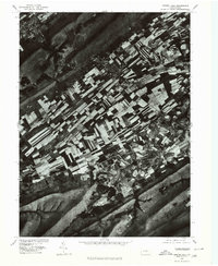 1977 Centre Hall1979 Print · USGSThe strip-cropped fields of the Penn Valley dominate the landscape in the late seventies, bordered by the steep ridges of Mount Nittany. Genealogists and local historians can trace the rural layouts of Centre Hall, Potters Mills, and the banks of Sinking Creek.
 - 1984 Map of State College, 1985 Print
 1984 State College1985 Print · USGSCentral Pennsylvania’s Ridge-and-Valley province is captured here in the mid-eighties, showing the deep connection between the mountain terrain and the region's historic settlements. Researchers can trace the layout of Pennsylvania State University and follow old rail corridors like the Bellefonte Historical RR and Conrail.
 - 1988 Map of State College, 1989 Print
 1988 State College1989 Print · USGSCentral Pennsylvania in the late eighties shows the sprawling influence of Pennsylvania State University against a backdrop of ancient ridges. Genealogists can trace family landmarks like Church Hill Church and the Bellefonte Cemetery across the deep valleys.
 - 1998 Map of Centre Hall, 1999 Print
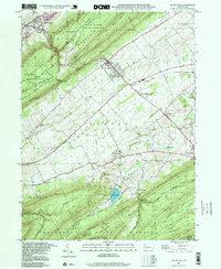 1998 Centre Hall1999 Print · USGSPenns Valley in the late twentieth century maintains its rural character between the dramatic ridges of Bald Eagle and Tussey Mountain. Trace family roots and local history at Egg Hill Cem, Emanuels Ch, and the crossroads at Potters Mills.
 - 2010 Map of Centre Hall, 2010 Print
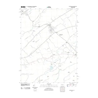 2010 Centre Hall2010 Print · USGSCentre County's ridge-and-valley country is captured here in the early twenty-first century, showing the enduring agricultural character of the region. Genealogists and local historians can trace the footprints of old hamlets like Tusseyville, Red Mill, and the landmarks around Penn Cave.
 - 2013 Map of Centre Hall, 2013 Print
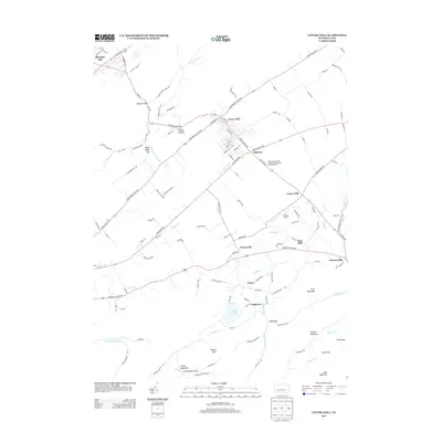 2013 Centre Hall2013 Print · USGSPenns Valley comes into focus in the early 21st century, showing a mix of established borough life and deep agricultural roots. Genealogists and historians can trace family-named areas and local landmarks like Red Mill, Potters Mills, and the Colyer Lake area.
 - 2016 Map of Centre Hall, 2016 Print
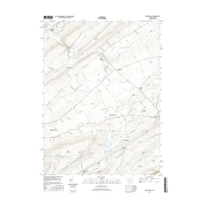 2016 Centre Hall2016 Print · USGSPenns Valley remains a quintessential Pennsylvania landscape of ridge-and-valley settlements in the mid-2010s. Researchers can trace the legacy of early industry and transport through sites like Potters Mills, Red Mill, and the small aviation field at Centre Airpark.
 - 2019 Map of Centre Hall, 2019 Print
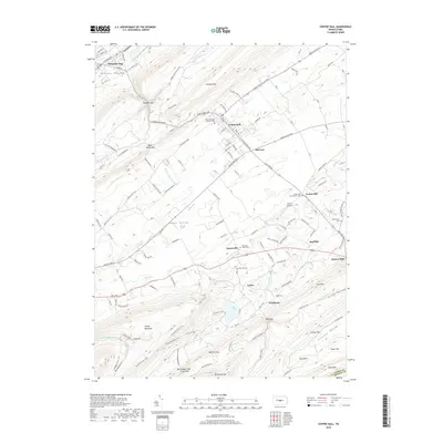 2019 Centre Hall2019 Print · USGSThe heart of the Nittany and Penns valleys remains defined by its traditional ridge-and-valley settlements and rural road networks. Genealogists and local historians can trace legacy sites like Potters Mills, Emanuel Union Cem, and the old rail-and-road junctions at Old Fort.
 - 2023 Map of Centre Hall, 2023 Print
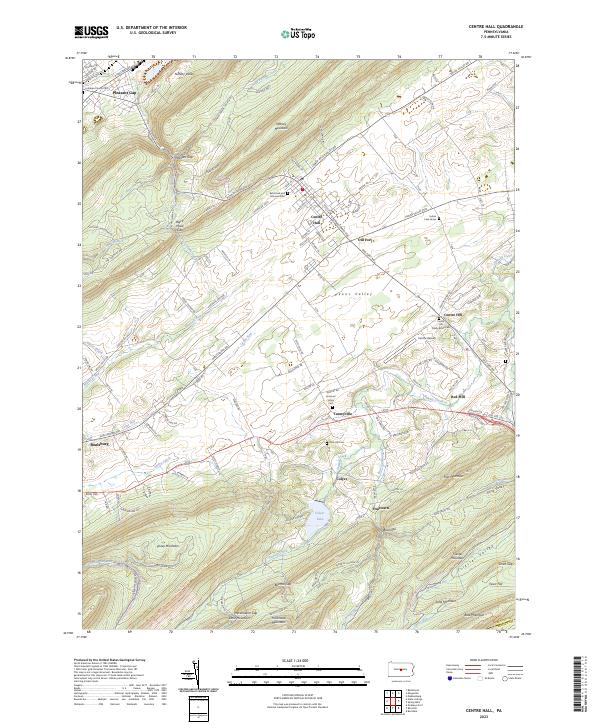 2023 Centre Hall2023 Print · USGSCentre County in the 2020s remains a landscape of deep limestone valleys and steep mountain gaps. Researchers can trace historic cemeteries like Reformed and Lutheran Cem and early settlements such as Tusseyville and Pleasant Gap.
End of results
Showing maps 1-17 of 17
Top cities near Country Club Park
- State College historical maps
- Lewistown historical maps
- Bellefonte historical maps
- Granville Township historical maps
- Boalsburg historical maps
- Decatur Township historical maps
See more
Frequently asked questions
- What are the different types of historical maps available for Country Club Park?
- What is the oldest map of Country Club Park?
- Where can I purchase historical maps of Country Club Park for my home or office?
- Where can I download high-res historical maps of Country Club Park?
- Are there historical topographic maps available for Country Club Park?
- Is there historical aerial imagery available for Country Club Park?
- Where are historical maps of Country Club Park sourced from?