2000s (21st Century) Maps of West Nottingham Township, Pennsylvania
Explore 20 historic maps of West Nottingham Township from the 2000s (21st Century). These maps offer a rare glimpse into what life looked like during the 2000s — showing old roads, neighborhoods, homes, and landmarks that have changed or disappeared over time.
Whether you're researching your family's past, planning a metal detecting trip, or studying how West Nottingham Township's landscape evolved across the 2000s, these high-resolution maps are a powerful tool for exploring the history of this region.
- Focus on a specific era: All maps on this page are from the 2000s, giving you a focused view of this time period.
- See what’s changed: Compare century-old streets, trails, and buildings to today's modern landscape using overlays and satellite layers.
- Research with precision: Use these maps for genealogy, historical research, land use analysis, or educational projects.
- View, download, or print: Maps are fully viewable online in high resolution, and can be downloaded or printed for your own records.
Start exploring West Nottingham Township's history through authentic maps from the 2000s. This is your window into the past.
West Nottingham Township, PA maps
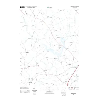
(20)- 2010 Map of Kirkwood, 2010 Print
 2010 Kirkwood2010 Print · USGSCovers West Nottingham Township, including Little Britain Township, Upper Oxford Township, and other nearby areas
 - 2011 Map of Bay View, 2011 Print
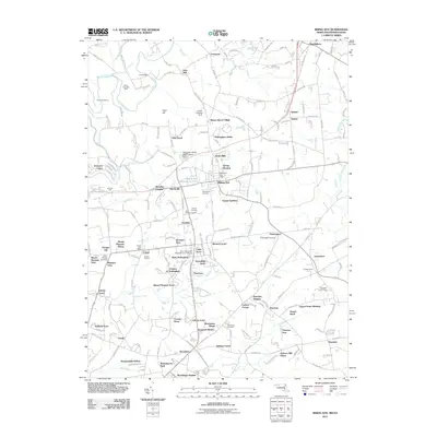
 2011 Bay View2011 Print · USGSCovers West Nottingham Township, including New London Township, North East, and other nearby areas
 - 2011 Map of Conowingo Dam, 2011 Print
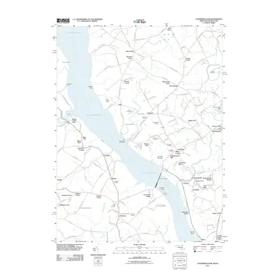 2011 Conowingo Dam2011 Print · USGSCovers West Nottingham Township, including Little Britain Township, Peach Bottom Township, and other nearby areas
 - 2011 Map of Rising Sun, 2011 Print
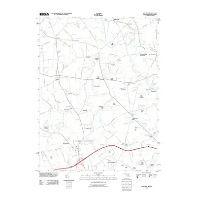
 2011 Rising Sun2011 Print · USGSCovers West Nottingham Township, including Little Britain Township, Rising Sun, and other nearby areas
 - 2013 Map of Kirkwood, 2013 Print
 2013 Kirkwood2013 Print · USGSCovers West Nottingham Township, including Little Britain Township, Upper Oxford Township, and other nearby areas
 - 2014 Map of Conowingo Dam, 2014 Print
 2014 Conowingo Dam2014 Print · USGSCovers West Nottingham Township, including Little Britain Township, Peach Bottom Township, and other nearby areas
 - 2014 Map of Rising Sun, 2014 Print
 2014 Rising Sun2014 Print · USGSCovers West Nottingham Township, including Little Britain Township, Rising Sun, and other nearby areas
 - 2014 Map of Bay View, 2014 Print
 2014 Bay View2014 Print · USGSCovers West Nottingham Township, including New London Township, North East, and other nearby areas
 - 2016 Map of Kirkwood, 2016 Print
 2016 Kirkwood2016 Print · USGSCovers West Nottingham Township, including Little Britain Township, Upper Oxford Township, and other nearby areas
 - 2016 Map of Rising Sun, 2016 Print
 2016 Rising Sun2016 Print · USGSCovers West Nottingham Township, including Little Britain Township, Rising Sun, and other nearby areas
 - 2016 Map of Bay View, 2016 Print
 2016 Bay View2016 Print · USGSCovers West Nottingham Township, including New London Township, North East, and other nearby areas
 - 2016 Map of Conowingo Dam, 2016 Print
 2016 Conowingo Dam2016 Print · USGSCovers West Nottingham Township, including Little Britain Township, Peach Bottom Township, and other nearby areas
 - 2019 Map of Kirkwood, 2019 Print
 2019 Kirkwood2019 Print · USGSCovers West Nottingham Township, including Little Britain Township, Upper Oxford Township, and other nearby areas
 - 2019 Map of Rising Sun, 2019 Print
 2019 Rising Sun2019 Print · USGSCovers West Nottingham Township, including Little Britain Township, Rising Sun, and other nearby areas
 - 2019 Map of Conowingo Dam, 2019 Print
 2019 Conowingo Dam2019 Print · USGSCovers West Nottingham Township, including Little Britain Township, Peach Bottom Township, and other nearby areas
 - 2019 Map of Bay View, 2019 Print
 2019 Bay View2019 Print · USGSCovers West Nottingham Township, including New London Township, North East, and other nearby areas
 - 2023 Map of Kirkwood, 2023 Print
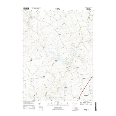
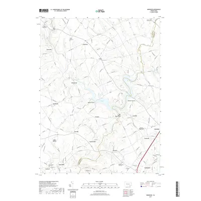
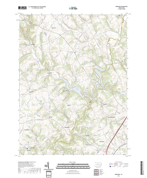 2023 Kirkwood2023 Print · USGSSouthern Pennsylvania's agricultural borderlands are captured here in the early twenty-first century, centered on the waters of Octoraro Lake. Local historians can trace old community hubs like Kirks Mills and find genealogical sites such as the Eastland Friends Burial Ground.
 - 2023 Map of Rising Sun, 2023 Print
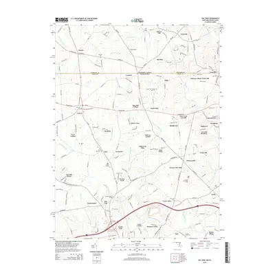
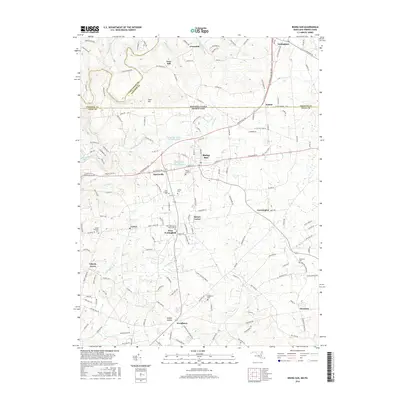
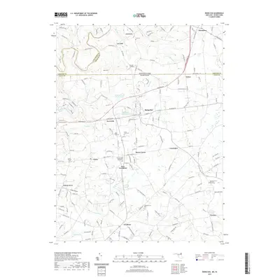
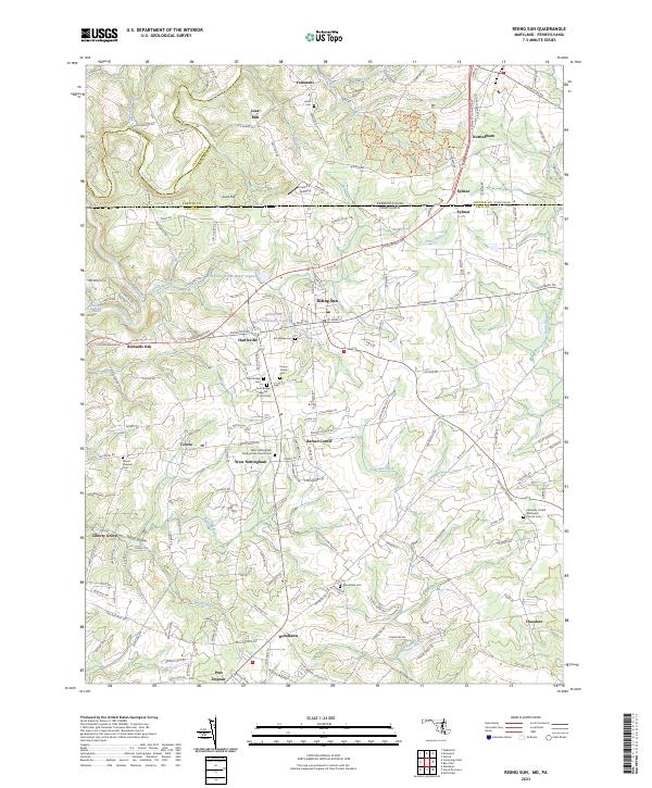 2023 Rising Sun2023 Print · USGSThe Maryland and Pennsylvania border comes alive in this survey of the Rising Sun area, where historic hamlets and family farmsteads dot the landscape. Genealogists can trace family roots at New Bridge Baptist Church Cem, Lees Mill, and the Krauss Family Cem.
 - 2023 Map of Bay View, 2023 Print
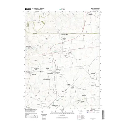
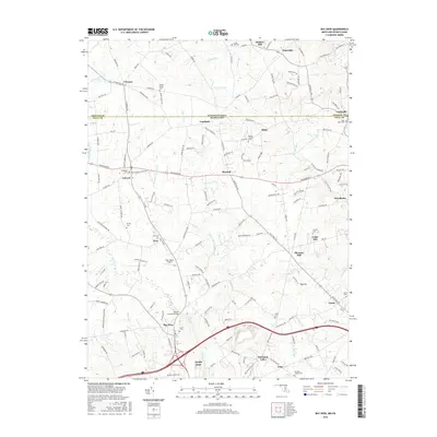
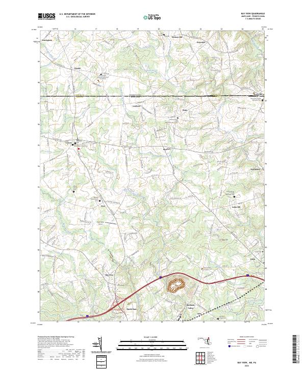 2023 Bay View2023 Print · USGSUpper Cecil County and the Pennsylvania border are shown here in modern detail, where rural crossroads and colonial-era lineages meet. Genealogists can trace family landmarks like the Nottingham Friends Cem or Moores Chapel United Methodist Church Cem.
 - 2023 Map of Conowingo Dam, 2023 Print
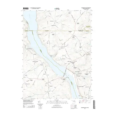
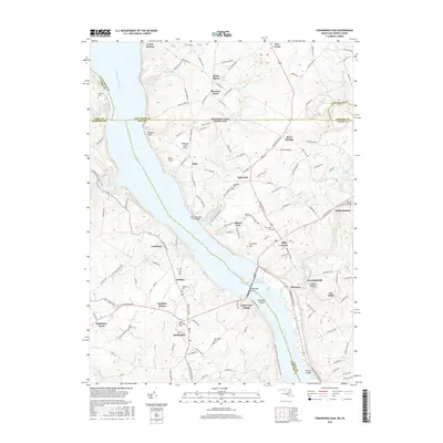
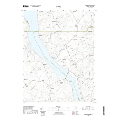
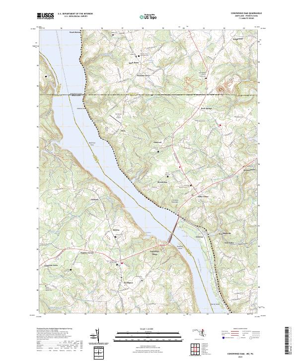 2023 Conowingo Dam2023 Print · USGSThe Susquehanna River valley at the Maryland-Pennsylvania line shows a landscape defined by riverside hamlets and historic crossings in the early twenty-first century. Genealogists and historians can trace family locations through numerous sites like Bald Friar Ferry, Rock Springs, and the Deer Creek Friends Meeting Cem.
End of results
Showing maps 1-20 of 20
Top cities near West Nottingham Township
- Elkton historical maps
- West Lampeter Township historical maps
- Aberdeen historical maps
- Havre de Grace historical maps
- Willow Street historical maps
- New London Township historical maps
See more
Top neighborhoods of West Nottingham Township
Frequently asked questions
- What are the different types of historical maps available for West Nottingham Township?
- What is the oldest map of West Nottingham Township?
- Where can I purchase historical maps of West Nottingham Township for my home or office?
- Where can I download high-res historical maps of West Nottingham Township?
- Are there historical topographic maps available for West Nottingham Township?
- Is there historical aerial imagery available for West Nottingham Township?
- Where are historical maps of West Nottingham Township sourced from?