2000s (21st Century) Maps of West Whiteland Township, Pennsylvania
Explore 20 historic maps of West Whiteland Township from the 2000s (21st Century). These maps offer a rare glimpse into what life looked like during the 2000s — showing old roads, neighborhoods, homes, and landmarks that have changed or disappeared over time.
Whether you're researching your family's past, planning a metal detecting trip, or studying how West Whiteland Township's landscape evolved across the 2000s, these high-resolution maps are a powerful tool for exploring the history of this region.
- Focus on a specific era: All maps on this page are from the 2000s, giving you a focused view of this time period.
- See what’s changed: Compare century-old streets, trails, and buildings to today's modern landscape using overlays and satellite layers.
- Research with precision: Use these maps for genealogy, historical research, land use analysis, or educational projects.
- View, download, or print: Maps are fully viewable online in high resolution, and can be downloaded or printed for your own records.
Start exploring West Whiteland Township's history through authentic maps from the 2000s. This is your window into the past.
West Whiteland Township, PA maps
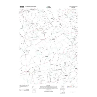
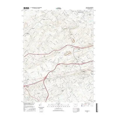
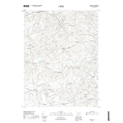
(20)- 2010 Map of Unionville, 2010 Print
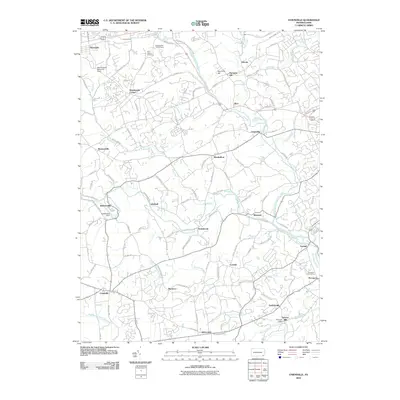 2010 Unionville2010 Print · USGSCovers West Whiteland Township, including West Goshen Township, Caln Township, and other nearby areas
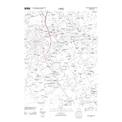
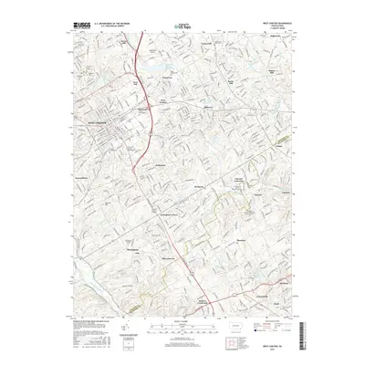
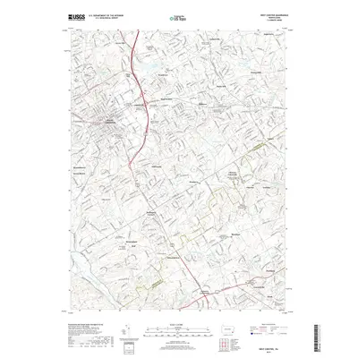
 - 2010 Map of West Chester, 2010 Print
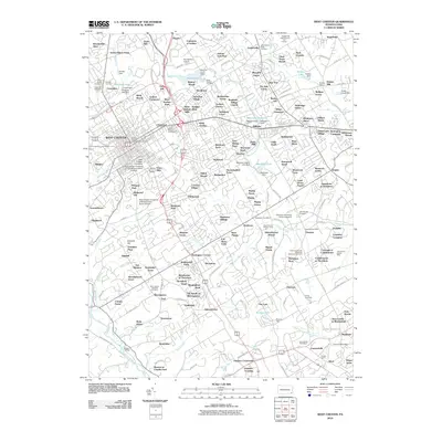 2010 West Chester2010 Print · USGSCovers West Whiteland Township, including West Goshen Township, West Chester, and other nearby areas
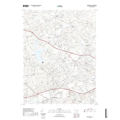
 - 2010 Map of Downingtown, 2010 Print
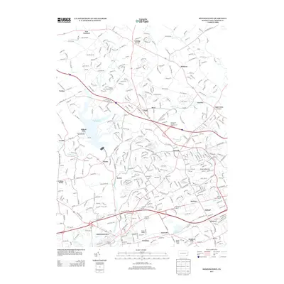
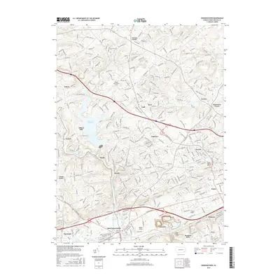
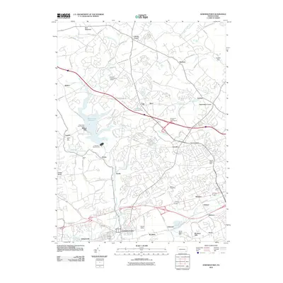 2010 Downingtown2010 Print · USGSCovers West Whiteland Township, including Caln Township, Downingtown, and other nearby areas
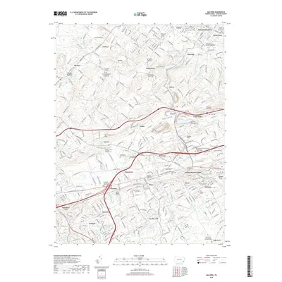
 - 2010 Map of Malvern, 2010 Print
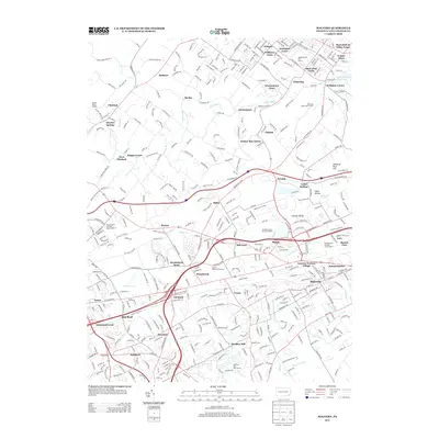
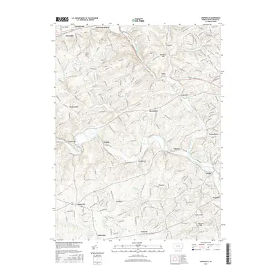
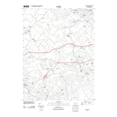 2010 Malvern2010 Print · USGSCovers West Whiteland Township, including West Goshen Township, Phoenixville, and other nearby areas
 - 2013 Map of Unionville, 2013 Print
 2013 Unionville2013 Print · USGSCovers West Whiteland Township, including West Goshen Township, Caln Township, and other nearby areas
 - 2013 Map of West Chester, 2013 Print
 2013 West Chester2013 Print · USGSCovers West Whiteland Township, including West Goshen Township, West Chester, and other nearby areas
 - 2013 Map of Malvern, 2013 Print
 2013 Malvern2013 Print · USGSCovers West Whiteland Township, including West Goshen Township, Phoenixville, and other nearby areas
 - 2013 Map of Downingtown, 2013 Print
 2013 Downingtown2013 Print · USGSCovers West Whiteland Township, including Caln Township, Downingtown, and other nearby areas
 - 2016 Map of West Chester, 2016 Print
 2016 West Chester2016 Print · USGSCovers West Whiteland Township, including West Goshen Township, West Chester, and other nearby areas
 - 2016 Map of Unionville, 2016 Print
 2016 Unionville2016 Print · USGSCovers West Whiteland Township, including West Goshen Township, Caln Township, and other nearby areas
 - 2016 Map of Downingtown, 2016 Print
 2016 Downingtown2016 Print · USGSCovers West Whiteland Township, including Caln Township, Downingtown, and other nearby areas
 - 2016 Map of Malvern, 2016 Print
 2016 Malvern2016 Print · USGSCovers West Whiteland Township, including West Goshen Township, Phoenixville, and other nearby areas
 - 2019 Map of Unionville, 2019 Print
 2019 Unionville2019 Print · USGSCovers West Whiteland Township, including West Goshen Township, Caln Township, and other nearby areas
 - 2019 Map of West Chester, 2019 Print
 2019 West Chester2019 Print · USGSCovers West Whiteland Township, including West Goshen Township, West Chester, and other nearby areas
 - 2019 Map of Downingtown, 2019 Print
 2019 Downingtown2019 Print · USGSCovers West Whiteland Township, including Caln Township, Downingtown, and other nearby areas
 - 2019 Map of Malvern, 2019 Print
 2019 Malvern2019 Print · USGSCovers West Whiteland Township, including West Goshen Township, Phoenixville, and other nearby areas
 - 2023 Map of Unionville, 2023 Print
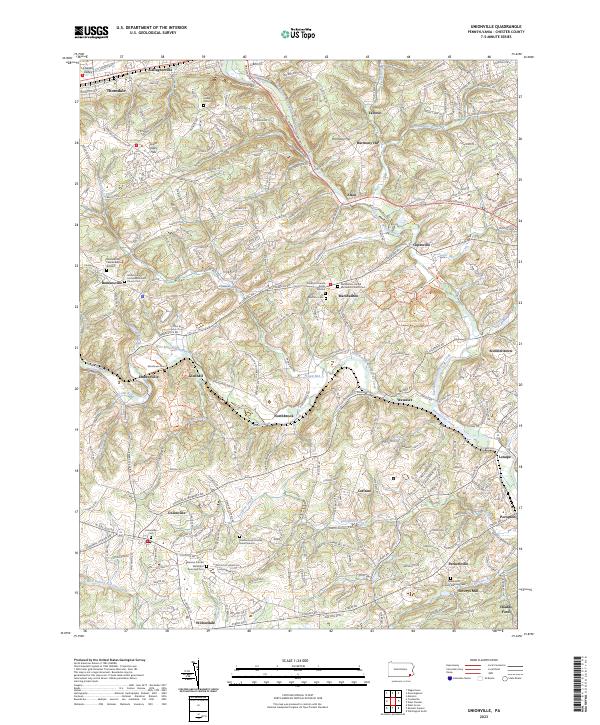 2023 Unionville2023 Print · USGSChester County at the modern turn shows a landscape deeply marked by its early Quaker settlements and river valleys. Genealogists can trace family footprints at Bradford Friends Burial Ground, Almshouse Cem, and the historic Saverys Mill.
 - 2023 Map of West Chester, 2023 Print
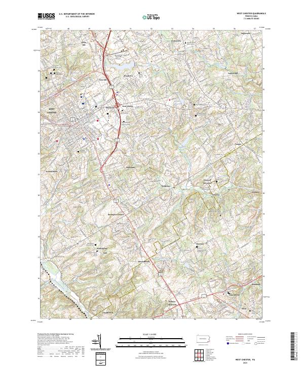 2023 West Chester2023 Print · USGSWest Chester and the surrounding Brandywine Valley townships appear here in their modern context, blending educational centers with colonial-era settlements. Researchers can locate numerous family burial sites, including the Hickman Family Burial Ground, Old Cheyney Cem, and Rosedale Friends Cem.
 - 2023 Map of Downingtown, 2023 Print
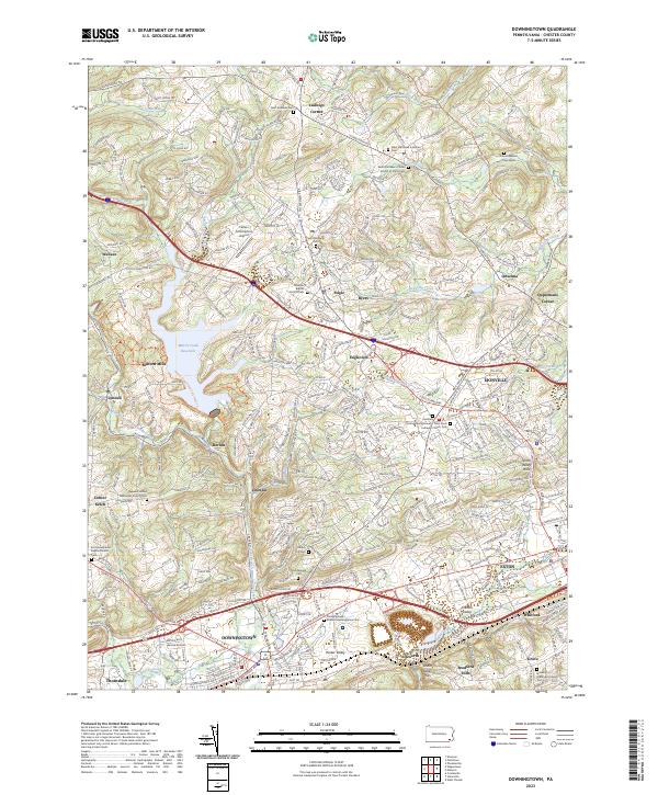 2023 Downingtown2023 Print · USGSThe Chester County heartland around Downingtown and Lionville is captured in this modern survey. Researchers can trace historic churchyards and crossroads like Ketch Corner, the Downingtown Friends Meetinghouse, and the Uwchlan Friends Burial Ground Lutheran Church.
 - 2023 Map of Malvern, 2023 Print
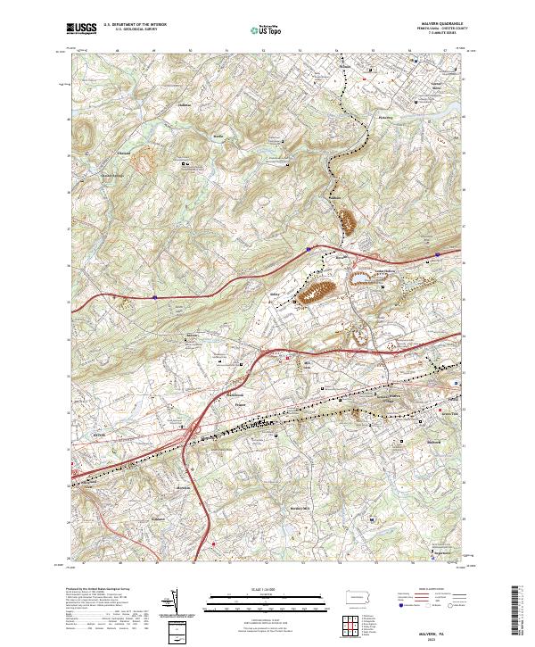 2023 Malvern2023 Print · USGSChester County's Great Valley reveals centuries of heritage as the modern suburban landscape develops around colonial-era hubs. Researchers can trace historic burial sites like Duffy's Cut Mass Grave and institutions such as Immaculata University.
End of results
Showing maps 1-20 of 20
Top cities near West Whiteland Township
- Chester historical maps
- Radnor Township historical maps
- Marple Township historical maps
- Pottstown historical maps
- West Goshen Township historical maps
- King of Prussia historical maps
See more
Top neighborhoods of West Whiteland Township
- Grove historical maps
- Oakland historical maps
- Whitford historical maps
- Belvidere historical maps
- Bradford Hills historical maps
- Whiteland Crest historical maps
See more
Frequently asked questions
- What are the different types of historical maps available for West Whiteland Township?
- What is the oldest map of West Whiteland Township?
- Where can I purchase historical maps of West Whiteland Township for my home or office?
- Where can I download high-res historical maps of West Whiteland Township?
- Are there historical topographic maps available for West Whiteland Township?
- Is there historical aerial imagery available for West Whiteland Township?
- Where are historical maps of West Whiteland Township sourced from?