2010s Maps of Millcreek Township, Pennsylvania
Explore 16 historic maps of Millcreek Township from the 2010s. These maps offer a rare glimpse into what life looked like during the 2010s — showing old roads, neighborhoods, homes, and landmarks that have changed or disappeared over time.
Whether you're researching your family's past, planning a metal detecting trip, or studying how Millcreek Township's landscape evolved across the 2010s, these high-resolution maps are a powerful tool for exploring the history of this region.
- Focus on a specific era: All maps on this page are from the 2010s, giving you a focused view of this time period.
- See what’s changed: Compare century-old streets, trails, and buildings to today's modern landscape using overlays and satellite layers.
- Research with precision: Use these maps for genealogy, historical research, land use analysis, or educational projects.
- View, download, or print: Maps are fully viewable online in high resolution, and can be downloaded or printed for your own records.
Start exploring Millcreek Township's history through authentic maps from the 2010s. This is your window into the past.
Millcreek Township, PA maps
(16)- 2010 Map of Lucinda, 2010 Print
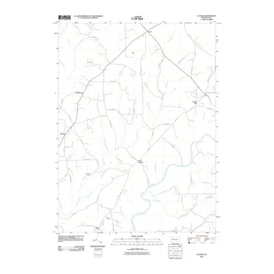 2010 Lucinda2010 Print · USGSClarion County at the start of the millennium retains its traditional network of river-valley hamlets and upland settlements. Researchers can trace family sites near Miola Cemetery, the historic industrial namesake Helen Furnace, and small-town landmarks in Lucinda and Scotch Hill.
 - 2010 Map of Corsica, 2010 Print
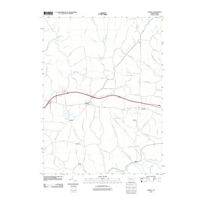 2010 Corsica2010 Print · USGSClarion County at the start of the twenty-first century shows a landscape where historic industrial sites meet rural settlements. Genealogists can trace family lands near Corsica Furnace or locate ancestors in the communities of Roseville, Harlan, and Baxter.
 - 2010 Map of Strattanville, 2010 Print
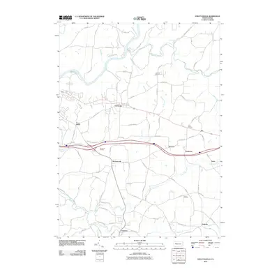 2010 Strattanville2010 Print · USGSClarion County at the start of the 2010s shows a landscape of small boroughs and creek-side hamlets connected by a dense local road network. Researchers can locate family burial sites at Old Seceder Cemetery or Asbury Cemetery and trace the paths between Strattanville and Limestone.
 - 2010 Map of Cooksburg, 2010 Print
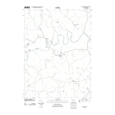 2010 Cooksburg2010 Print · USGSClarion County at the start of the 21st century remains defined by its winding river and steep ridges. Researchers can trace local lineage through sites like Cook Forest Cemetery, the Cook Tomb, and family landmarks such as Songer Hill.
 - 2013 Map of Strattanville, 2013 Print
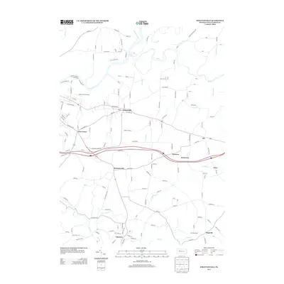 2013 Strattanville2013 Print · USGSClarion County settlements and the winding Clarion River are documented here in the early twenty-first century. Genealogists and local historians can trace family locations near Strattanville, Mechanicsville, and the Parker-Cramer Airport.
 - 2013 Map of Lucinda, 2013 Print
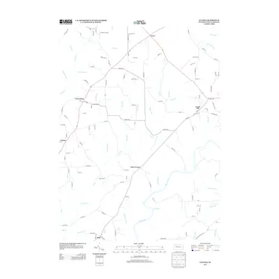 2013 Lucinda2013 Print · USGSIn the early 21st century, Clarion County, Pennsylvania, maintained a landscape defined by winding waterways and rural settlements. Genealogists can locate family homes near Lucinda or trace the path of the Clarion River past Helen Furnace.
 - 2013 Map of Cooksburg, 2013 Print
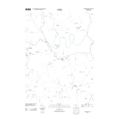 2013 Cooksburg2013 Print · USGSMillcreek Township and the Clarion River corridor are shown here in the early twenty-first century as the landscape transitions from forest parkland to rural hamlets. Local historians can trace family-named sites like Cook Tomb or Gumbert Hill and locate the small communities of Fisher and Kahletown.
 - 2013 Map of Corsica, 2013 Print
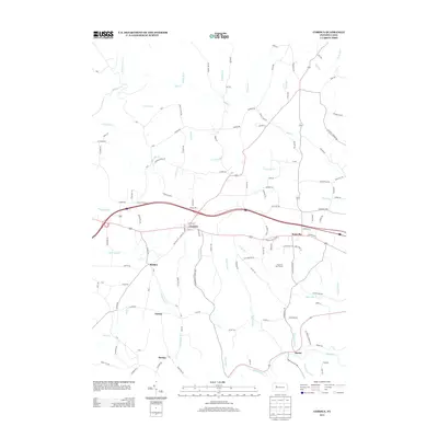 2013 Corsica2013 Print · USGSClarion County at the start of the 2010s shows a landscape defined by its rural settlements and old industrial roots. Genealogists and historians can trace family locations near Corsica, Holden, and Sutton, or locate the site of the historic Corsica Furnace.
 - 2016 Map of Cooksburg, 2016 Print
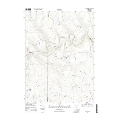 2016 Cooksburg2016 Print · USGSThe Clarion River corridor comes alive in this 2016 survey of the tri-county border where Millcreek Township meets the woods of Forest County. Researchers can trace family history at Cook Forest Cem, locate the Cook Tomb, or explore the rural surroundings of Kahletown and Hottelville.
 - 2016 Map of Strattanville, 2016 Print
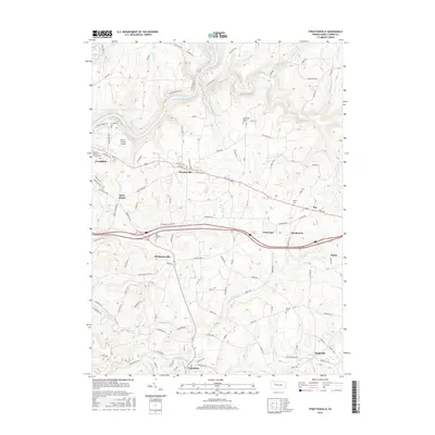 2016 Strattanville2016 Print · USGSClarion County transitions from university grounds to rural plateaus in the mid-2010s. Researchers can locate local landmarks like Old Seceder Cem, the Parker-Cramer Airport, and small communities like Strattanville and Limestone.
 - 2016 Map of Lucinda, 2016 Print
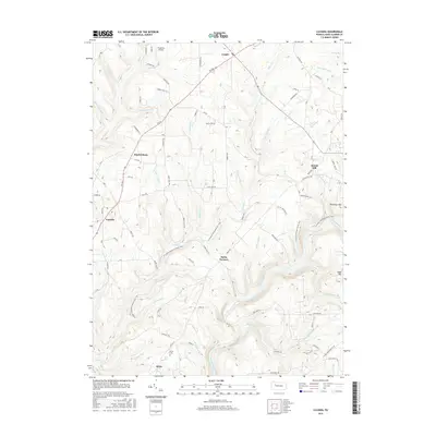 2016 Lucinda2016 Print · USGSClarion County's river valleys and upland settlements are shown in detail during the mid-2010s. Genealogists and hikers can trace the N Country National Scenic Trail as it passes Helen Furnace and the historic Miola Cem.
 - 2016 Map of Corsica, 2016 Print
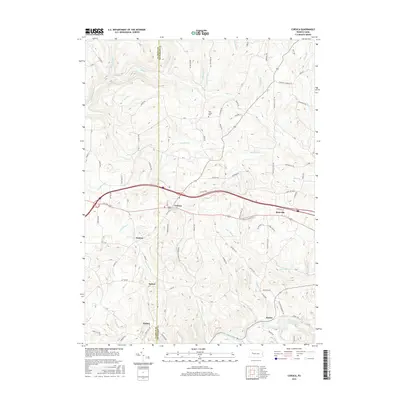 2016 Corsica2016 Print · USGSClarion and Jefferson County territory is shown here in the mid-2010s as it transitions from the plateau to the Redbank Creek valley. Researchers can pinpoint the rural settlements of Corsica, Holden, and Baxter, or locate ancestors at Pine Grove Cem.
 - 2019 Map of Corsica, 2019 Print
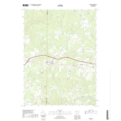 2019 Corsica2019 Print · USGSWestern Pennsylvania’s rolling hills and county borders are captured here in the late 2010s. Researchers can locate family roots at Pisgah Cem, follow the path of Redbank Creek, or trace the early settlements of Corsica and Roseville.
 - 2019 Map of Cooksburg, 2019 Print
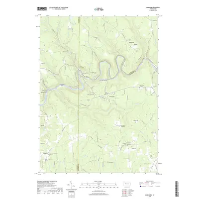 2019 Cooksburg2019 Print · USGSThe Clarion River corridor comes into sharp focus here during the late 2010s, showing a landscape where heavy forest meets historic river settlements. Researchers can locate numerous rural burial sites like Hominy Ridge Cem and Kahletown Cem or trace the N Country National Scenic Trail.
 - 2019 Map of Lucinda, 2019 Print
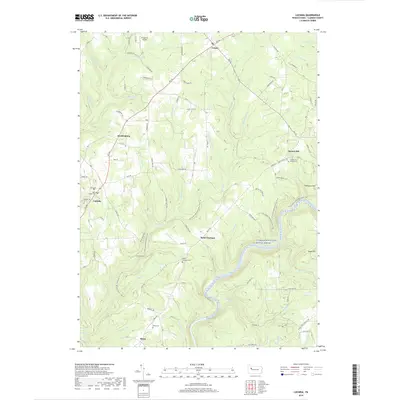 2019 Lucinda2019 Print · USGSClarion County's winding river valleys and upland settlements are captured here in the late 2010s. Genealogists and local historians can trace rural roots through Saint Joseph Cem, the old grounds at Helen Furnace, and family-named landmarks like Thompson Hill.
 - 2019 Map of Strattanville, 2019 Print
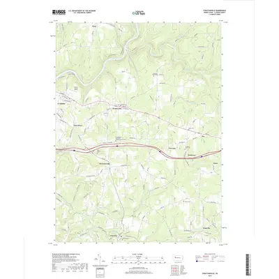 2019 Strattanville2019 Print · USGSThe Clarion River valley and its surrounding highlands are captured here in 2019, showing the proximity of Clarion to long-established hamlets like Strattanville and Limestone. Researchers can trace local heritage through sites like Old Seceder Cem, Henderson, and the Asbury Cem.
End of results
Showing maps 1-16 of 16
Top cities near Millcreek Township
- Clarion historical maps
- Brookville historical maps
- Limestone Township historical maps
- Warsaw Township historical maps
- Marianne historical maps
- Toby Township historical maps
See more
Top neighborhoods of Millcreek Township
Frequently asked questions
- What are the different types of historical maps available for Millcreek Township?
- What is the oldest map of Millcreek Township?
- Where can I purchase historical maps of Millcreek Township for my home or office?
- Where can I download high-res historical maps of Millcreek Township?
- Are there historical topographic maps available for Millcreek Township?
- Is there historical aerial imagery available for Millcreek Township?
- Where are historical maps of Millcreek Township sourced from?