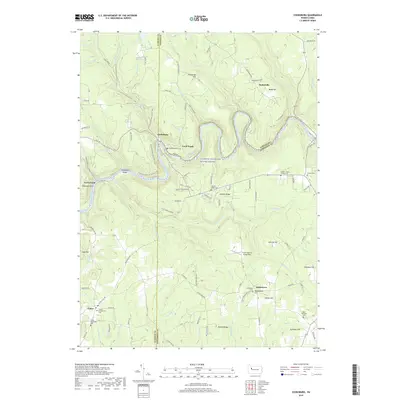
2019 Map of Cooksburg
USGS Topo · Published 2019About this map
Cooksburg and the winding Clarion Wild and Scenic River define this corner of Pennsylvania where Clarion, Forest, and Jefferson Counties converge. The landscape is marked by deep river valleys and high ridges like Rankin Ridge and Kahletown Hill, with long-standing rural communities scattered across the high ground. Genealogists can find numerous family and community burial grounds, including the Haight - Wing Family Cem, Daniels Cem, and the Fisher Methodist Cem in the settlement of Fisher.
Find a feature on this map
127 named features on this map. Tap any name to fly to it.
Don’t see what you’re looking for? This feature index may not catch every label — zoom into the map to look around manually.
Map Details
Editions of this 2019 Cooksburg Map
This is the sole edition of this map. No revisions or reprints were ever made.
Other maps of this area

1906 · Clarion
USGS Topo · 1:62,500

1907 · Clarion
USGS Topo · 1:62,500

1918 · Loleta
USGS Topo · 1:62,500

1922 · Tionesta
USGS Topo · 1:62,500

1924 · Tionesta
USGS Topo · 1:62,500

1924 · Brookville
USGS Topo · 1:62,500

1926 · Brookville
USGS Topo · 1:62,500

1936 · Marienville
USGS Topo · 1:48,000

1941 · Marienville
USGS Topo · 1:62,500

1944 · Brookville
USGS Topo · 1:62,500
Featured Places
- Millcreek Township, PA
- Kahletown, Eldred Township
- Cooksburg, PA
- Hottelville, Barnett Township
- Hominy Ridge, Barnett Township