
1941 Map of Marienville
USGS Topo · Published 1941About this map
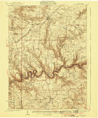
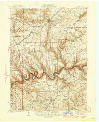
The Clarion River winds in deep, dramatic loops through the heart of the northern Pennsylvania woods, forming the border between Forest, Clarion, and Jefferson counties. This 1930s landscape is defined by the heavy timber of the Allegheny National Forest and the nascent recreation areas of Cook Forest State Park. The region's industrial infrastructure is visible through the Baltimore and Ohio railroad line passing through Marienville and the Crawford Pump Sta near Sigel.
Find a feature on this map
69 named features on this map. Tap any name to fly to it.
Don’t see what you’re looking for? This feature index may not catch every label — zoom into the map to look around manually.
Map Details
Editions of this 1941 Marienville Map
3 editions found
Other maps of this area

1906 · Clarion
USGS Topo · 1:62,500

1907 · Clarion
USGS Topo · 1:62,500

1918 · Loleta
USGS Topo · 1:62,500

1922 · Tionesta
USGS Topo · 1:62,500

1922 · Du Bois
USGS Topo · 1:62,500

1924 · Du Bois
USGS Topo · 1:62,500

1924 · Tionesta
USGS Topo · 1:62,500

1924 · Brookville
USGS Topo · 1:62,500

1926 · Brookville
USGS Topo · 1:62,500

1927 · Tidioute
USGS Topo · 1:48,000