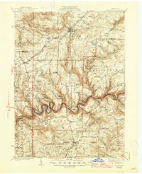
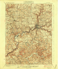
1941 Map of Marienville
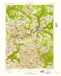
USGS Topo · Published 1947About this map
The winding Clarion River snakes through the heart of this mid-century Pennsylvania landscape, defining the borders between Forest, Clarion, and Jefferson counties. In the north, Marienville serves as a central hub, connected by the Baltimore and Ohio railroad and surrounded by the Allegheny National Forest. The map documents a rural infrastructure of small-scale industry and community life, featuring numerous one-room schools such as McAvoy Sch and Woolford Sch. Civil Conservation Corps activity is evident at the CCC Camp near Roses, while the oil and gas industry of the era is represented by the Crawford Pump Sta. Significant recreational and forestry landmarks, including the Loleta Camp Ground and the Muzette Fire Tower, highlight the region's managed wilderness character during the pre-war years.
Find a feature on this map
97 named features on this map. Tap any name to fly to it.
Don’t see what you’re looking for? This feature index may not catch every label — zoom into the map to look around manually.
Map Details
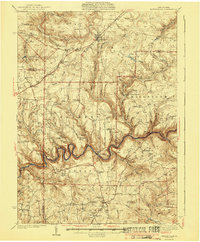
Editions of this 1941 Marienville Map
3 editions found
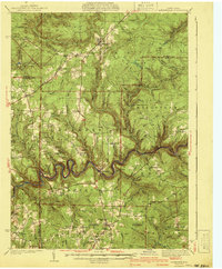
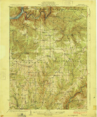
Other maps of this area

1906 · Clarion
USGS Topo · 1:62,500

1907 · Clarion
USGS Topo · 1:62,500

1918 · Loleta
USGS Topo · 1:62,500

1922 · Tionesta
USGS Topo · 1:62,500

1922 · Du Bois
USGS Topo · 1:62,500

1924 · Du Bois
USGS Topo · 1:62,500
1924 · Tionesta
USGS Topo · 1:62,500
1924 · Brookville
USGS Topo · 1:62,500
1926 · Brookville
USGS Topo · 1:62,500

1927 · Tidioute
USGS Topo · 1:48,000
Featured Places
- Warsaw Township, PA
- Millstone Township, PA
- Polk Township, PA
- Millcreek Township, PA
- Fisher, Millcreek Township