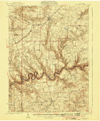
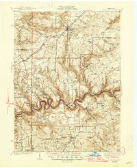
1941 Map of Marienville
USGS Topo · Published 1941About this map
Marienville serves as the focal point for this 1930s landscape, situated at the junction of the Baltimore and Ohio railroad and local timber and forest routes. The terrain is defined by the deeply incised, meandering course of the Clarion River, which winds through the central portion of the survey. The region's development is marked by a network of rural schoolhouses and industrial sites, including Fitzgerald Sch, McAvoy Sch, and the Crawford Pump Sta. Local history is anchored by family and religious sites like the Cook Tomb and St Dominic Cem, while the recreational and conservation efforts of the era are visible at the Loleta Camp Ground and a prominent CCC Camp. This survey documents a transition from early industrial extraction toward forest management and conservation in the Pennsylvania wilds.
Find a feature on this map
80 named features on this map. Tap any name to fly to it.
Don’t see what you’re looking for? This feature index may not catch every label — zoom into the map to look around manually.
Map Details
Editions of this 1941 Marienville Map
3 editions found

Other maps of this area

1906 · Clarion
USGS Topo · 1:62,500

1907 · Clarion
USGS Topo · 1:62,500

1918 · Loleta
USGS Topo · 1:62,500

1922 · Tionesta
USGS Topo · 1:62,500

1922 · Du Bois
USGS Topo · 1:62,500

1924 · Du Bois
USGS Topo · 1:62,500

1924 · Tionesta
USGS Topo · 1:62,500

1924 · Brookville
USGS Topo · 1:62,500

1926 · Brookville
USGS Topo · 1:62,500

1927 · Tidioute
USGS Topo · 1:48,000