Old Maps of Perry Township, Pennsylvania for Metal Detecting
Plan your next treasure hunt with 31 historic maps of Perry Township. Find old homesites, ghost towns, trails, and gathering spots that may be lost to time — perfect for identifying promising metal detecting locations.
- Locate forgotten sites: Uncover places like long-lost settlements, abandoned rail lines, or gathering spots.
- Plan better hunts: Use map overlays combined with LiDAR or satellite views to narrow in on historically rich areas.
- Made for detectorists: Thousands of hobbyists use these maps to discover relics, coins, and hidden history.
Use these historic maps to boost your research and find new opportunities beneath the surface of Perry Township.
Perry Township, PA maps
(31)- 1907 Map of Foxburg, 1953 Print
 1907 Foxburg1953 Print · USGSThe river-and-rail economies of Clarion and Armstrong counties are on full display in this early 1900s survey. Genealogists and industrial historians can trace vanished post offices like Perryville Pollock PO, early iron works at Canoe Furnace, and the riverside tracks of the Pennsylvania railroad.2 unique versions available
 - 1908 Map of Foxburg
 1908 Foxburg1908 Print · USGSThe Pennsylvania river valleys thrive during the early twentieth-century industrial boom, as river traffic and railroads intersect in the heart of the coal and iron region. Researchers can locate early post offices at New Salem Lamartine PO, industrial sites like Sarah Furnace, and the Blue Goose Mine.5 unique versions available
 - 1957 Map of Warren, 1964 Print
 1957 Warren1964 Print · USGSThe northern Pennsylvania oil and timber country comes into focus in the mid-fifties, showing the region before modern highway expansions. Trace the industrial rail networks of the Pennsylvania RR and the early Allegheny River Reservoir near Warren and Oil City.4 unique versions available
 - 1958 Map of Warren
 1958 Warren1958 Print · USGSNorthern Pennsylvania’s timber and oil country is captured here during the late fifties, showing the interplay of industrial valleys and vast state forests. Genealogists can trace family connections across the Cornplanter Indian Reservation or through rail hubs like Oil City and Saint Marys.
 - 1959 Map of Warren
 1959 Warren1959 Print · USGSNorthern Pennsylvania's oil and timber country comes alive in this late-fifties study of the forest-clad plateaus. Trace the historic Cornplanter (Indian Reservation), the sprawling Oil Field, and the rail lines of the Pennsylvania RR.2 unique versions available
 - 1963 Map of Rimersburg, 1965 Print
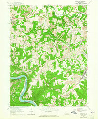 1963 Rimersburg1965 Print · USGSThe border of Clarion and Armstrong counties comes alive in the early sixties as a region of river bends and industrial tradition. Genealogists can trace family roots through Sarah Furnace, Kissingers Mill, and rural sites like Robinson Cem and Concord Ch.3 unique versions available
 - 1963 Map of Parker, 1965 Print
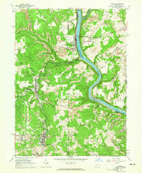 1963 Parker1965 Print · USGSThe river-and-rail corridor of northern Armstrong and Butler counties is captured here in the early sixties, showing an active landscape of energy extraction. Genealogists and historians can locate family landmarks such as Bear Creek Cemetery or Griswell Ch and trace the rail path through Petrolia and Bruin.5 unique versions available
 - 1963 Map of Knox, 1965 Print
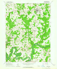 1963 Knox1965 Print · USGSClarion County in the early sixties reveals a landscape of industrial transition, where railroad lines and river bends defined local life. Researchers can trace family roots through St Marks Ch, the Zion Hill Cem, and vanished landmarks like Canoe Furnace or Stovers Mill.4 unique versions available
 - 1963 Map of Emlenton, 1965 Print
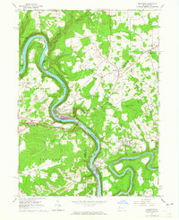 1963 Emlenton1965 Print · USGSThe Allegheny and Clarion rivers converge in the early 1960s, creating a hub of rail activity and resource extraction. Genealogists and historians can trace the numerous oil wells and strip mines surrounding communities like St Petersburg, Emlenton, and Foxburg.4 unique versions available
 - 1971 Map of Warren
 1971 Warren1971 Print · USGSNorth Central Pennsylvania is captured here in the early seventies, showing a landscape defined by industrial centers and massive state forests. Genealogists and historians can trace the rail lines of the Penn Central and Erie Lackawanna connecting towns like Warren, Kane, and Du Bois.
 - 1983 Map of Oil City, 1984 Print
 1983 Oil City1984 Print · USGSThe Allegheny and Clarion river valleys are shown in the early eighties as a hub of rail lines and conservation lands. Genealogists can trace family connections in Oil City and Franklin or locate rural sites like the Pennsylvania State Hospital and School and Coal City.
 - 2010 Map of Rimersburg, 2010 Print
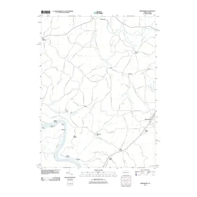 2010 Rimersburg2010 Print · USGSClarion County at the start of the twenty-first century reveals a landscape shaped by the Allegheny River and a legacy of rural industry. Genealogists and historians can trace family roots through the Blue Goose Mine, Kissingers Mill, and Robinson Cemetery.
 - 2010 Map of Emlenton, 2010 Print
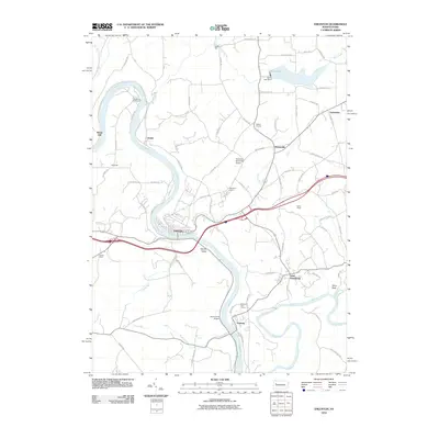 2010 Emlenton2010 Print · USGSThe confluence of the Clarion and Allegheny rivers takes center stage in this recent survey of Venango and Clarion counties. Researchers can trace the layout of riverside towns like Emlenton and Foxburg or find local landmarks including the Foxburg Golf Course.
 - 2010 Map of Parker, 2010 Print
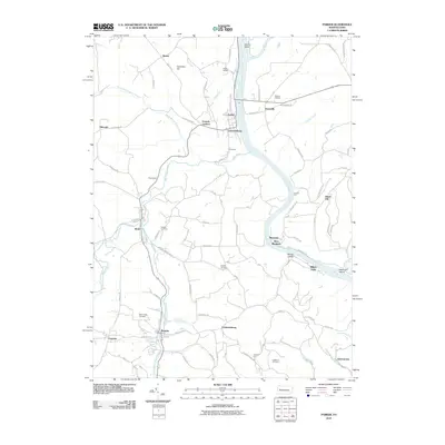 2010 Parker2010 Print · USGSIn the river valleys of northern Pennsylvania, this survey shows the confluence of the Allegheny River and Clarion River as it appeared in 2010. Genealogists and historians can trace old homesteads and local landmarks from Parkers Landing to the burial grounds at Shakley Cemetery and Crawford Cemetery.
 - 2010 Map of Knox, 2010 Print
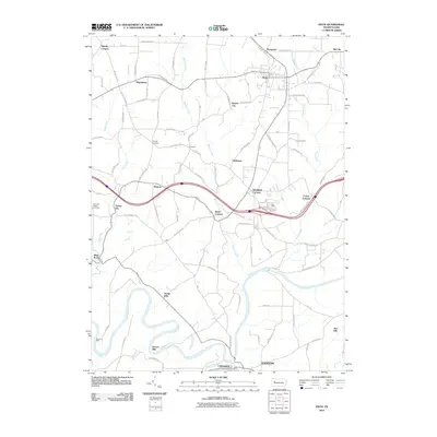 2010 Knox2010 Print · USGSClarion County during the early twenty-first century retains a landscape of crossroads settlements and riverfront industrial history. Researchers can locate family landmarks like Chestnut Ridge Cemetery or trace the legacy of Canoe Furnace and Stovers Mill.
 - 2013 Map of Emlenton, 2013 Print
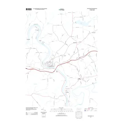 2013 Emlenton2013 Print · USGSVenango County's riverfront communities are captured here in the early twenty-first century as the Allegheny River snakes through the valley. Trace the local genealogy and layout of Emlenton, and locate historical landmarks like Keefer Mill and the Foxburg Golf Course.
 - 2013 Map of Rimersburg, 2013 Print
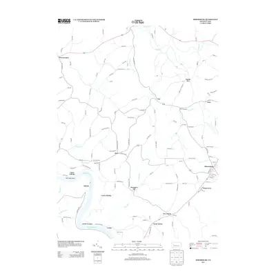 2013 Rimersburg2013 Print · USGSClarion County’s river-bound landscape is captured here in the early twenty-first century as it maintains its traditional industrial and rural character. Genealogists can trace family footprints through settlements like Sarah Furnace, Kissingers Mill, and the coal-rich area surrounding the Blue Goose Mine.
 - 2013 Map of Parker, 2013 Print
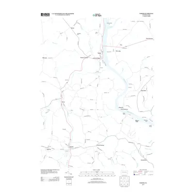 2013 Parker2013 Print · USGSThe confluence of the Allegheny and Clarion rivers defines this Pennsylvania landscape in the early 2010s. Researchers can trace historic river points and upland communities like Parkers Landing, Millers Eddy, and Happy Retreat.
 - 2013 Map of Knox, 2013 Print
 2013 Knox2013 Print · USGSClarion County at the start of the 2010s reveals a landscape defined by the winding Clarion River and the bustling hub of Knox. Genealogists and local historians can trace the footprints of industry at Canoe Furnace and Stovers Mill, or explore family-named hamlets like Wentlings Corners and Blairs Corners.
 - 2016 Map of Rimersburg, 2016 Print
 2016 Rimersburg2016 Print · USGSThe Allegheny River corridor and the hills of Toby Township are captured here in the mid-2010s. Local historians can trace the road networks connecting Rimersburg and Sligo to riverfront sites like Sarah Furnace, Catfish, and Kissingers Mill.
 - 2016 Map of Knox, 2016 Print
 2016 Knox2016 Print · USGSClarion County's winding river valleys and upland crossroads are captured here in the mid-2010s. Researchers can trace the legacy of early industry and settlement at Canoe Furnace, Stovers Mill, and the Chestnut Ridge Cem.
 - 2016 Map of Parker, 2016 Print
 2016 Parker2016 Print · USGSWestern Pennsylvania in the mid-2010s shows a landscape of river-bend settlements and deep valleys at the junction of the Allegheny and Clarion rivers. Researchers can locate many burial sites such as Grand Army of the Republic Cem and Shakley Cem, or trace the path of the N Country National Scenic Trail.
 - 2016 Map of Emlenton, 2016 Print
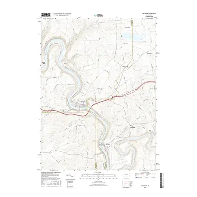 2016 Emlenton2016 Print · USGSThe river valleys of Venango and Clarion counties are shown here as they appeared in the early twenty-first century. Genealogists and historians can trace the riverside layouts of Emlenton and Foxburg or locate the Memorial Episcopal Church of Our Father Cem.
 - 2019 Map of Rimersburg, 2019 Print
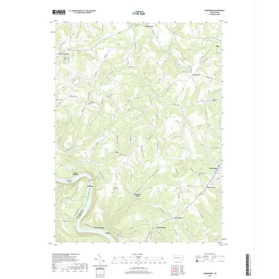 2019 Rimersburg2019 Print · USGSClarion County at the close of the 2010s shows a landscape where industrial heritage and family history intersect along the Allegheny River. Researchers can trace historic sites like Kissingers Mill and Sarah Furnace alongside numerous local cemeteries such as Bethesda Cem.
 - 2019 Map of Emlenton, 2019 Print
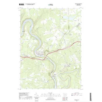 2019 Emlenton2019 Print · USGSThe river bends of western Pennsylvania are captured here in 2019, showing where the borders of four counties meet along the Allegheny River. Researchers can locate old family plots at Saint Petersburg Cem and trace the paths of the N Country National Scenic Trail.
Showing maps 1-25 of 31
Top cities near Perry Township
- Cranberry Township historical maps
- Monroe historical maps
- Mahoning historical maps
- Rockland Township historical maps
- Marianne historical maps
- Toby Township historical maps
See more
Top neighborhoods of Perry Township
- West Freedom historical maps
- Monterey historical maps
- West Monterey historical maps
- Dutch Hill historical maps
- Perryville historical maps
Frequently asked questions
- What are the different types of historical maps available for Perry Township?
- What is the oldest map of Perry Township?
- Where can I purchase historical maps of Perry Township for my home or office?
- Where can I download high-res historical maps of Perry Township?
- Are there historical topographic maps available for Perry Township?
- Is there historical aerial imagery available for Perry Township?
- Where are historical maps of Perry Township sourced from?