2010s Maps of Graham Township, Pennsylvania
Explore 16 historic maps of Graham Township from the 2010s. These maps offer a rare glimpse into what life looked like during the 2010s — showing old roads, neighborhoods, homes, and landmarks that have changed or disappeared over time.
Whether you're researching your family's past, planning a metal detecting trip, or studying how Graham Township's landscape evolved across the 2010s, these high-resolution maps are a powerful tool for exploring the history of this region.
- Focus on a specific era: All maps on this page are from the 2010s, giving you a focused view of this time period.
- See what’s changed: Compare century-old streets, trails, and buildings to today's modern landscape using overlays and satellite layers.
- Research with precision: Use these maps for genealogy, historical research, land use analysis, or educational projects.
- View, download, or print: Maps are fully viewable online in high resolution, and can be downloaded or printed for your own records.
Start exploring Graham Township's history through authentic maps from the 2010s. This is your window into the past.
Graham Township, PA maps
(16)- 2010 Map of Philipsburg, 2010 Print
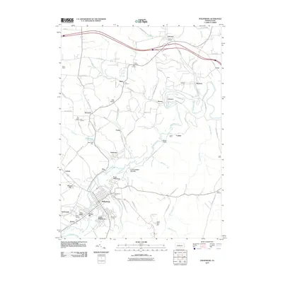 2010 Philipsburg2010 Print · USGSPhilipsburg and the Moshannon Creek valley are shown here during a period of modern stability in the Pennsylvania coal region. Researchers can trace industrial history at Rusnak Mine or locate family roots at the Kylertown and Saint Agnes cemeteries.
 - 2010 Map of Wallaceton, 2010 Print
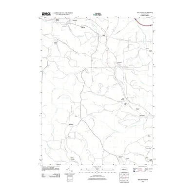 2010 Wallaceton2010 Print · USGSClearfield County's rural landscape is captured here in the early twenty-first century, showing the enduring network of small communities and hill-country roads. Genealogists and historians can locate family burial sites at Goss Cemetery or Center Hill Cemetery and trace the paths of Old Erie Pike through Blue Ball.
 - 2010 Map of Lecontes Mills, 2010 Print
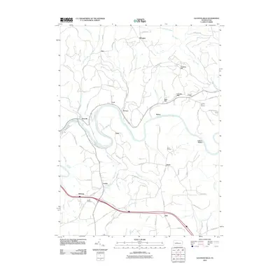 2010 Lecontes Mills2010 Print · USGSThe West Branch Susquehanna River dictates the character of this rural Pennsylvania landscape in the early twenty-first century. Genealogists and historians can trace family locations across several small settlements and burial sites like Bishtown, Needful, and Shiloh Cemetery.
 - 2010 Map of Frenchville, 2010 Print
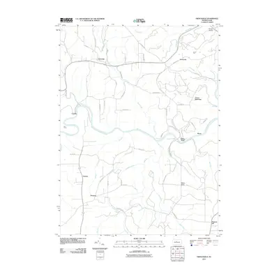 2010 Frenchville2010 Print · USGSClearfield County's highlands and the meandering West Branch Susquehanna River are captured here in the early twenty-first century. Genealogists and locals can trace family-named areas like Guenot Settlement, Sylvan Grove, and Frenchville.
 - 2013 Map of Frenchville, 2013 Print
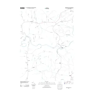 2013 Frenchville2013 Print · USGSThe West Branch of the Susquehanna River carves through this part of Clearfield County in the early 2010s. Genealogists and historians can trace family-named areas like the Guenot Settlement or explore the rural surroundings of Frenchville and Sylvan Grove.
 - 2013 Map of Lecontes Mills, 2013 Print
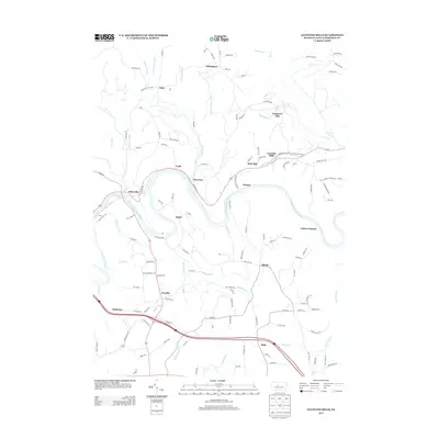 2013 Lecontes Mills2013 Print · USGSClearfield County's river valleys and upland settlements are documented here in the early 2010s as the W Br Susquehanna River winds through the heart of the region. Local researchers can trace the roads and waterways connecting Lecontes Mills, Gallows Harbor, and Needful.
 - 2013 Map of Philipsburg, 2013 Print
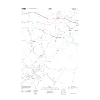 2013 Philipsburg2013 Print · USGSPhilipsburg and the Moshannon Creek valley are shown here in the early twenty-first century, capturing a dense cluster of historic coal-mining boroughs. Genealogists can trace family footprints through Cuba Mines, Chester Hill, and the vanished rail siding at Loch Lomond Junction.
 - 2013 Map of Wallaceton, 2013 Print
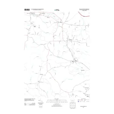 2013 Wallaceton2013 Print · USGSClearfield County's rural townships are documented here during a period of modern development that respects historical footprints. Researchers can pinpoint the Baughman Cemetery and trace the proximity of settlements like Blue Ball and Woodland.
 - 2016 Map of Frenchville, 2016 Print
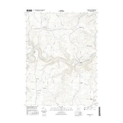 2016 Frenchville2016 Print · USGSClearfield County's upland plateaus and river bends are captured here in the mid-2010s, showing a landscape defined by the West Branch Susquehanna River. Researchers can locate legacy sites like the Guenot Settlement, the village of Frenchville, and Folmar Airport.
 - 2016 Map of Lecontes Mills, 2016 Print
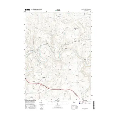 2016 Lecontes Mills2016 Print · USGSClearfield County's river-cut ridges appear in sharp detail during this mid-2010s survey of the West Branch Susquehanna valley. Local historians can trace family ties through several small burial grounds, including Murray Cem and Shiloh Cem, or locate the specific sites of Lecontes Mills and Bishtown.
 - 2016 Map of Philipsburg, 2016 Print
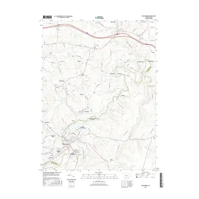 2016 Philipsburg2016 Print · USGSPhilipsburg and its satellite mining communities are captured here in the mid-2010s as they span the Moshannon Creek border. Genealogists can locate several family burial sites like Hunter Cem and Emigh Cem, or trace rail history at Loch Lomond Junction.
 - 2016 Map of Wallaceton, 2016 Print
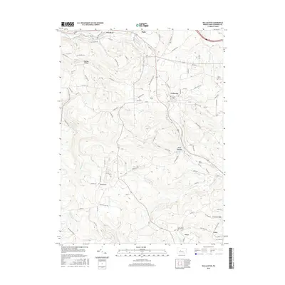 2016 Wallaceton2016 Print · USGSThe Clearfield County highlands near Wallaceton are shown in detail during the mid-2010s, illustrating a landscape of tight valleys and rural crossroads. Genealogists and locals can trace family sites at Goss Cem, Mokes Hill Cem, or the old settlement at Newtown.
 - 2019 Map of Philipsburg, 2019 Print
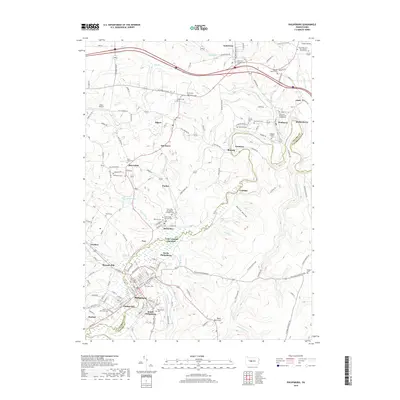 2019 Philipsburg2019 Print · USGSThe coal-region communities of the Centre and Clearfield county line are captured here in the late twenty-teens. Genealogists can trace family names at the Philipsburg Cem, Ashcroft Cem, and Saint John the Baptist Orthodox Church.
 - 2019 Map of Wallaceton, 2019 Print
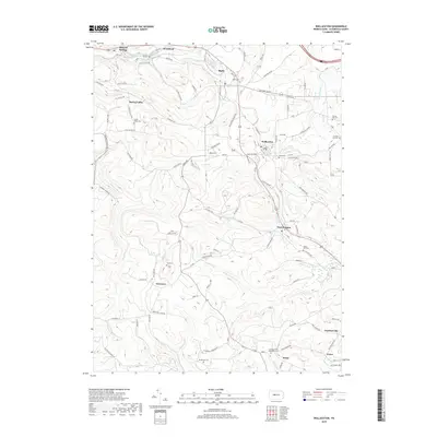 2019 Wallaceton2019 Print · USGSClearfield County's rural character is on display in the late twenty-teens, showing a network of small settlements and family burial grounds. Genealogists can locate specific sites like Spring Valley Cem, Goss Cem, and the community of Wallaceton.
 - 2019 Map of Frenchville, 2019 Print
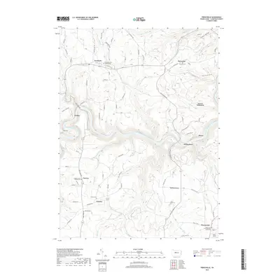 2019 Frenchville2019 Print · USGSKarthaus Township and the winding Susquehanna River highlands are captured here in the late 2010s. Genealogists and local historians can trace family roots through several rural burial grounds, including Saint Mary of the Assumption Cem, Palestine Cem, and the secluded Guenot Settlement.
 - 2019 Map of Lecontes Mills, 2019 Print
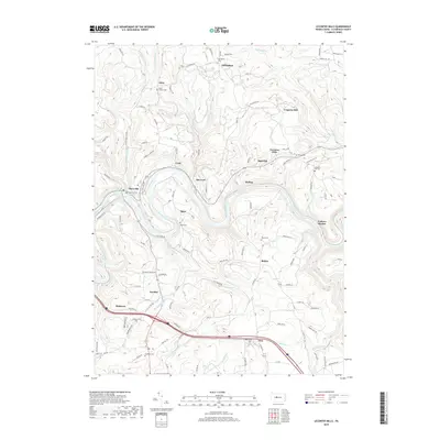 2019 Lecontes Mills2019 Print · USGSThe West Branch Susquehanna River region of Clearfield County is captured here in the late 2010s. Researchers can locate numerous local landmarks and family burial grounds such as Eden Church Cem, Lecontes Mills, and the uniquely named Needful.
End of results
Showing maps 1-16 of 16
Top cities near Graham Township
- Clearfield historical maps
- Philipsburg historical maps
- Beccaria Township historical maps
- Graham historical maps
- Bigler historical maps
- Osceola Mills historical maps
See more
Top neighborhoods of Graham Township
Frequently asked questions
- What are the different types of historical maps available for Graham Township?
- What is the oldest map of Graham Township?
- Where can I purchase historical maps of Graham Township for my home or office?
- Where can I download high-res historical maps of Graham Township?
- Are there historical topographic maps available for Graham Township?
- Is there historical aerial imagery available for Graham Township?
- Where are historical maps of Graham Township sourced from?