2010s Maps of Beech Creek Township, Pennsylvania
Explore 32 historic maps of Beech Creek Township from the 2010s. These maps offer a rare glimpse into what life looked like during the 2010s — showing old roads, neighborhoods, homes, and landmarks that have changed or disappeared over time.
Whether you're researching your family's past, planning a metal detecting trip, or studying how Beech Creek Township's landscape evolved across the 2010s, these high-resolution maps are a powerful tool for exploring the history of this region.
- Focus on a specific era: All maps on this page are from the 2010s, giving you a focused view of this time period.
- See what’s changed: Compare century-old streets, trails, and buildings to today's modern landscape using overlays and satellite layers.
- Research with precision: Use these maps for genealogy, historical research, land use analysis, or educational projects.
- View, download, or print: Maps are fully viewable online in high resolution, and can be downloaded or printed for your own records.
Start exploring Beech Creek Township's history through authentic maps from the 2010s. This is your window into the past.
Beech Creek Township, PA maps
(32)- 2010 Map of Snow Shoe NW, 2010 Print
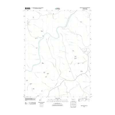 2010 Snow Shoe NW2010 Print · USGSClinton County’s winding river valleys and ridge-top camps are captured here in the early twenty-first century. Researchers can trace the layout of family landmarks and forest outposts like Nelson Cemetery, Black Stump Siding, and the Panther Fire Tower.
 - 2010 Map of Howard NW, 2010 Print
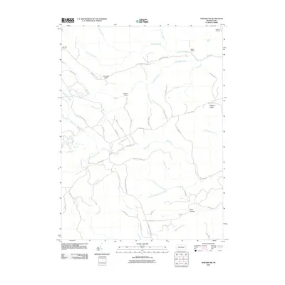 2010 Howard NW2010 Print · USGSClinton County’s high ridges and deep hollows are shown in detail during the 2010s, revealing a landscape shaped by timber management and remote access. Trace old forest routes and landmarks like the Coffin Rock Fire Tower, Eagleton Fields, and Bear Swamp.
 - 2010 Map of Farrandsville, 2010 Print
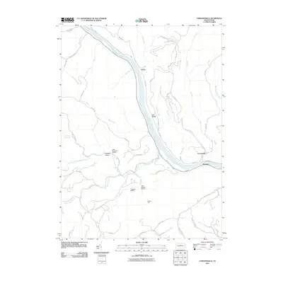 2010 Farrandsville2010 Print · USGSClinton County’s river valleys and wooded ridges are documented here at the start of the 2010s. Researchers can trace the riverfront communities of Farrandsville and East Ferney or locate landmarks like Round Top and the Boiler Maker Trl.
 - 2010 Map of Beech Creek, 2010 Print
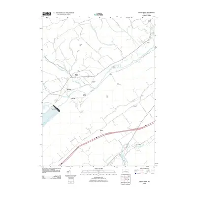 2010 Beech Creek2010 Print · USGSClinton County’s ridge-and-valley landscape is captured here at the start of the 2010s, centered on the waters of the Foster Joseph Sayers Dam. Local historians can trace established homesteads near Beech Creek and Lamar, or locate ancestral burial sites at Sunnyside Cemetery and Clark Cemetery.
 - 2010 Map of Snow Shoe NE, 2010 Print
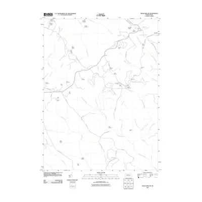 2010 Snow Shoe NE2010 Print · USGSClinton County high country is shown here during a period of active timber and recreational management. Researchers can trace the network of old forest roads to dozens of named hunting and logging outposts like State Camp, The Hemlocks Camp, and the Coffin Rock Fire Tower.
 - 2010 Map of Keating, 2010 Print
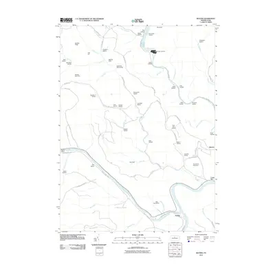 2010 Keating2010 Print · USGSClinton County's river-driven geography is on full display in the early twenty-first century at the meeting of Sinnemahoning Creek and the West Branch Susquehanna River. Researchers can trace the river valleys through Bucktail State Park and locate the historic settlements of Keating and Bitumen.
 - 2010 Map of Snow Shoe SE, 2010 Print
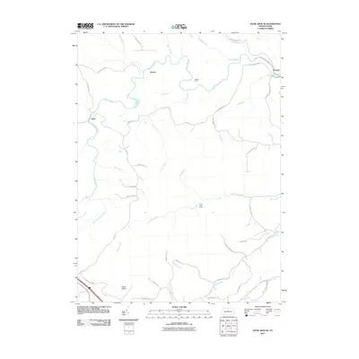 2010 Snow Shoe SE2010 Print · USGSIn the central Pennsylvania mountains during the early 21st century, this area shows a landscape of deep creek valleys and isolated camps. Local researchers can trace the routes between Orviston and Kato or locate the Hogback Tunnel and Devils Elbow.
 - 2010 Map of Howard, 2010 Print
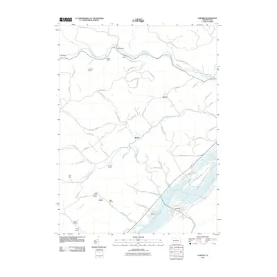 2010 Howard2010 Print · USGSHoward and the surrounding Centre County valleys are shown at the turn of the millennium as a landscape defined by water and forest. Researchers can trace family roots at Schencks Cemetery or explore the terrain of Tar Kill Hollow and the extensive Bald Eagle State Park.
 - 2013 Map of Farrandsville, 2013 Print
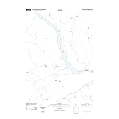 2013 Farrandsville2013 Print · USGSThe West Branch Susquehanna River corridor in Clinton County remained a landscape of isolated riverside settlements and deep hollows in the early 2010s. Researchers can trace the narrow footprints of Farrandsville and Riverview or find secluded spots like Tinsmith Hollow and Bear Wallow Hollow.
 - 2013 Map of Snow Shoe NE, 2013 Print
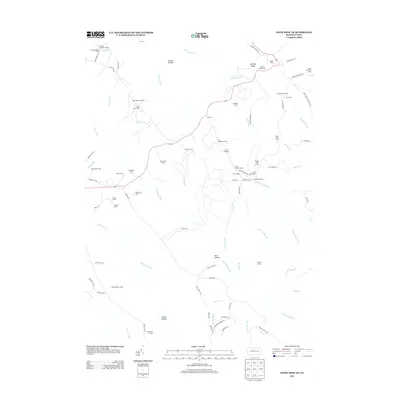 2013 Snow Shoe NE2013 Print · USGSClinton County’s deep woods and ridge-top outposts appear in detail during the early twenty-first century. Researchers can trace remote forest camps and landmarks like State Camp, the Coffin Rock Fire Tower, and Camp Chestnut Hill.
 - 2013 Map of Howard NW, 2013 Print
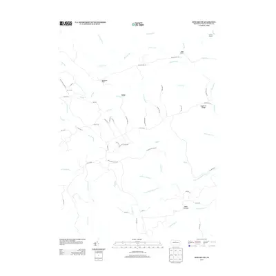 2013 Howard NW2013 Print · USGSClinton County’s high forest plateaus are documented here in the early twenty-first century, showing a landscape defined by timber and transit. Researchers can trace the extensive trail network through Eagleton Fields and find family-named landmarks like Shoemaker Ridge and Dishpan Hollow.
 - 2013 Map of Snow Shoe SE, 2013 Print
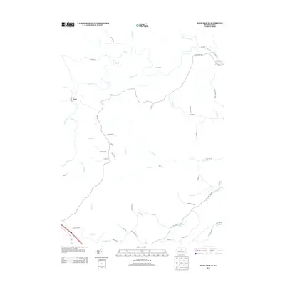 2013 Snow Shoe SE2013 Print · USGSSnow Shoe Township in the early 2010s shows a landscape of deep creek valleys and remote settlements. Researchers can trace the paths of Beech Creek and Marsh Creek, identifying sites like the Hogback Tunnel and Orviston.
 - 2013 Map of Keating, 2013 Print
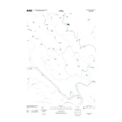 2013 Keating2013 Print · USGSThe river confluence at Keating and the ridge-top settlement of Bitumen define this part of Clinton County in the early twenty-first century. Researchers can trace the narrow valley roads and find local landmarks like Kettle Creek Lake and Sinnemahoning Cr.
 - 2013 Map of Howard, 2013 Print
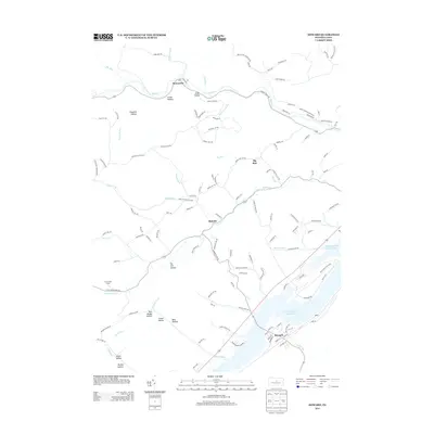 2013 Howard2013 Print · USGSCentre County's mountain landscape meets the waters of the Sayers reservoir in this 2013 survey of the area. Map collectors and genealogists can trace the rural networks of Howard, Monument, and Romola alongside landmarks like Bald Eagle State Park.
 - 2013 Map of Snow Shoe NW, 2013 Print
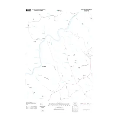 2013 Snow Shoe NW2013 Print · USGSThe West Branch Susquehanna River corridor is documented here in the early twenty-first century, showing a remote landscape of forestry camps and rugged trails. Researchers can locate seasonal settlements like West View Camp and the rail-related Black Stump Siding or trace the path to the Panther Fire Tower.
 - 2013 Map of Beech Creek, 2013 Print
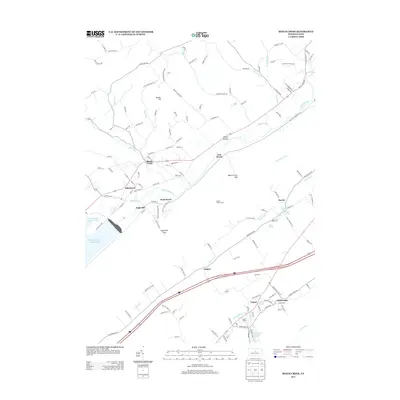 2013 Beech Creek2013 Print · USGSThe valley of Bald Eagle Cr is shown here in the early twenty-first century, centered on the broad Foster Joseph Sayers Lake. Researchers can trace old mountain routes and locate numerous named springs like Washington Furnace Spring and the settlement at Lamar.
 - 2016 Map of Howard, 2016 Print
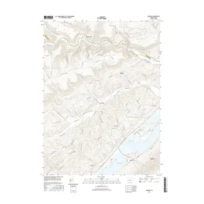 2016 Howard2016 Print · USGSThe borough of Howard and the waters of Foster Joseph Sayers Lake define this central Pennsylvania landscape in the mid-2010s. Genealogists and hikers can trace old valley roads to Schencks Cem or explore the drainage of Marsh Creek and Beech Creek.
 - 2016 Map of Snow Shoe SE, 2016 Print
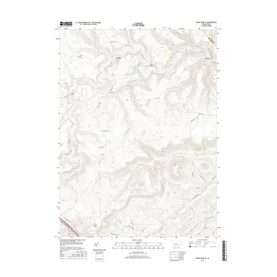 2016 Snow Shoe SE2016 Print · USGSThe northern reaches of the Pennsylvania coal and timber country are captured here just after the turn of the twenty-first century. Genealogists and hikers can trace rural road networks and remote settlements like Orviston, Kato, and the southern Devils Elbow.
 - 2016 Map of Snow Shoe NW, 2016 Print
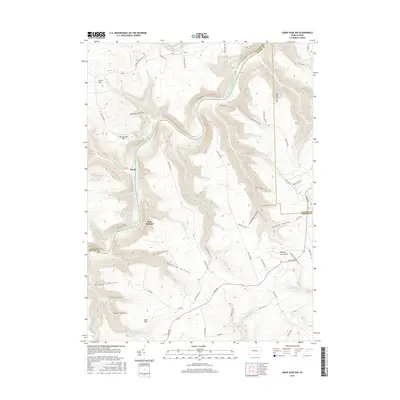 2016 Snow Shoe NW2016 Print · USGSClinton and Centre counties meet along the winding river canyons of north-central Pennsylvania in the early twenty-first century. Researchers can trace the isolated settlement at Birch, look for the Panther Fire Tower, and explore remote routes like Keating Mountain Rd.
 - 2016 Map of Farrandsville, 2016 Print
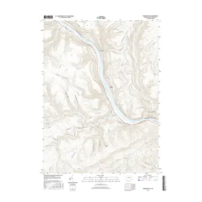 2016 Farrandsville2016 Print · USGSClinton County’s river-carved valleys are shown in detail during the mid-2010s, centered on the bend of the West Branch Susquehanna River. Researchers can trace old mountain routes and river settlements like Farrandsville, East Ferney, and the industrial-named Clay Mine Rd.
 - 2016 Map of Beech Creek, 2016 Print
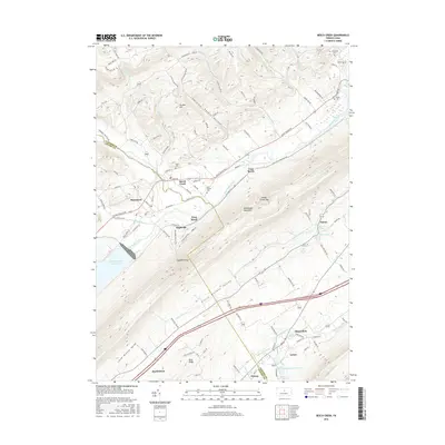 2016 Beech Creek2016 Print · USGSThe ridge-and-valley landscape of Clinton County is documented here during the mid-2010s, showing the intersection of mountain gaps and valley settlements. Genealogists can locate family landmarks like Hays-Fearon Cem and historical water sources such as Washington Furnace Spring.
 - 2016 Map of Keating, 2016 Print
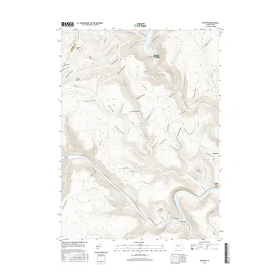 2016 Keating2016 Print · USGSThe confluence of Sinnemahoning Creek and the West Branch Susquehanna River defines this Clinton County landscape in the mid-2010s. Local researchers can trace old mountain roads and drainage-linked settlements like Keating, Bitumen, and Cooks Run.
 - 2016 Map of Howard NW, 2016 Print
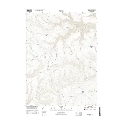 2016 Howard NW2016 Print · USGSClinton County high country is revealed in this contemporary survey of the plateau and its deep drainage basins. You can trace old forest routes and wetland boundaries from Eagleton Fields to Bear Swamp and along the Tangascootack Cr.
 - 2016 Map of Snow Shoe NE, 2016 Print
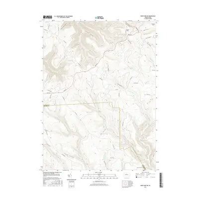 2016 Snow Shoe NE2016 Print · USGSThe northern Pennsylvania highlands near the Clinton and Centre County line are shown here in the mid-2010s, defined by a dense network of forest hollows and ridges. Researchers can trace historic access routes like Jews Run Rd and Bloody Skillet Rd as they wind toward Barneys Ridge.
 - 2019 Map of Snow Shoe NW, 2019 Print
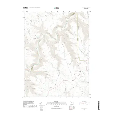 2019 Snow Shoe NW2019 Print · USGSThe Clinton and Centre county borderlands are defined by the winding West Branch Susquehanna River and steep-sided ridges in this recent survey. Researchers can locate the Nelsonville Cem and trace the paths of Fisher Fire Rd to the Panther Fire Tower.
Showing maps 1-25 of 32
Top cities near Beech Creek Township
- Lamar historical maps
- Mill Hall historical maps
- Milesburg historical maps
- Beech Creek historical maps
- Howard historical maps
- Curtin historical maps
See more
Top neighborhoods of Beech Creek Township
Frequently asked questions
- What are the different types of historical maps available for Beech Creek Township?
- What is the oldest map of Beech Creek Township?
- Where can I purchase historical maps of Beech Creek Township for my home or office?
- Where can I download high-res historical maps of Beech Creek Township?
- Are there historical topographic maps available for Beech Creek Township?
- Is there historical aerial imagery available for Beech Creek Township?
- Where are historical maps of Beech Creek Township sourced from?