Old Maps of Locust Township, Pennsylvania for Metal Detecting
Plan your next treasure hunt with 39 historic maps of Locust Township. Find old homesites, ghost towns, trails, and gathering spots that may be lost to time — perfect for identifying promising metal detecting locations.
- Locate forgotten sites: Uncover places like long-lost settlements, abandoned rail lines, or gathering spots.
- Plan better hunts: Use map overlays combined with LiDAR or satellite views to narrow in on historically rich areas.
- Made for detectorists: Thousands of hobbyists use these maps to discover relics, coins, and hidden history.
Use these historic maps to boost your research and find new opportunities beneath the surface of Locust Township.
Locust Township, PA maps
(39)- 1889 Map of Catawissa, 1954 Print
 1889 Catawissa1954 Print · USGSThe anthracite coal region and Susquehanna River valley come alive in this late 19th-century survey. Genealogists and historians can trace the early rail networks of the Philadelphia and Reading Railroad connecting industrial hubs like Centralia, Mount Carmel, and Ashland.
 - 1892 Map of Catawissa
 1892 Catawissa1892 Print · USGSThe Pennsylvania anthracite region comes into focus during the late nineteenth-century coal boom. Genealogists and historians can trace rail-centered towns like Centralia, Ashland, and Mount Carmel alongside the historic Bloomsburg Ferry.
 - 1894 Map of Catawissa
 1894 Catawissa1894 Print · USGSPennsylvania's anthracite coal region and the Susquehanna valley appear here in the late nineteenth century, defined by a massive expansion of rail and ridge-top settlements. Researchers can trace old transit lines like the Lehigh Valley Railroad through Centralia or locate early rural hubs like Mifflin X Roads.6 unique versions available
 - 1947 Map of Ashland
 1947 Ashland1947 Print · USGSAnthracite coal country comes into sharp focus during the mid-1940s as the valley towns of Schuylkill and Columbia counties reach their peak development. Genealogists and researchers can trace the street grids of Ashland, find the Miners Hospital, and locate Centralia years before its famous underground fires.3 unique versions available
 - 1947 Map of Mt. Carmel
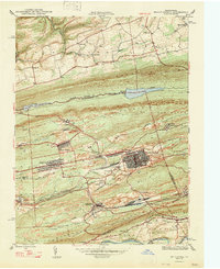 1947 Mt. Carmel1947 Print · USGSThe Pennsylvania coal region is shown here at its post-war industrial peak, bounded by the ridges of Big Mountain and Locust Mountain. Genealogists and historians can trace the intricate rail networks and compact neighborhoods of Mount Carmel, Kulpmont, and Locust Summit.2 unique versions available
 - 1947 Map of Catawissa
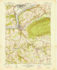 1947 Catawissa1947 Print · USGSColumbia County at the dawn of the post-war era reveals a bustling river valley shaped by coal-hauling railroads and rural industry. Genealogists can trace family names at Parrs Mill, Mt Zion Cem, and many local schools like Clayton Sch.2 unique versions available
 - 1948 Map of Shumans
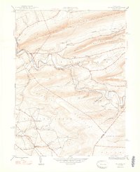 1948 Shumans1948 Print · USGSColumbia County in the late 1940s is defined by its deep creek valleys and the Reading railroad lines that connected its rural hamlets. Researchers can locate vanished landmarks like the Beaver Sch and trace family roots in settlements like Shumans and Kulp.2 unique versions available
 - 1950 Map of Harrisburg, 1952 Print
 1950 Harrisburg1952 Print · USGSMid-century Central Pennsylvania comes alive through its dense rail networks and river valley settlements during the post-war industrial era. Genealogists and historians can trace family roots through hubs like Harrisburg, locate Carlisle Barracks, or follow the Pennsylvania RR through the Lebanon Valley.
 - 1953 Map of Ashland, 1956 Print
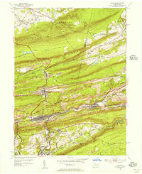 1953 Ashland1956 Print · USGSIn the 1950s, the anthracite coal region around Ashland and Girardville was at its industrial peak. Genealogists can trace family homes in Centralia or Gordon and locate landmarks like Immaculate Heart Academy or the Centralia Fire Tower.5 unique versions available
 - 1955 Map of Mount Carmel, 1956 Print
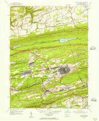 1955 Mount Carmel1956 Print · USGSNorthumberland County's coal-country landscape is meticulously detailed here in the mid-fifties, showing the rail-dependent corridor between Kulpmont and Mount Carmel. Genealogists and historians can trace the foundations of local life through the Township Sch, Mount Carmel Cemetery, and the Drive-in Theater at Natalie.5 unique versions available
 - 1955 Map of Shumans, 1956 Print
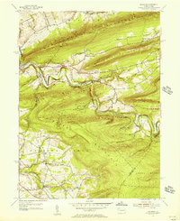 1955 Shumans1956 Print · USGSColumbia County’s ridge-and-valley landscape is captured here in the mid-1950s as the Reading railroad follows the winding Catawissa Creek. Genealogists can locate family landmarks like Michaels Cem, Harkers Ch, and the old Beaver Sch.5 unique versions available
 - 1955 Map of Catawissa, 1956 Print
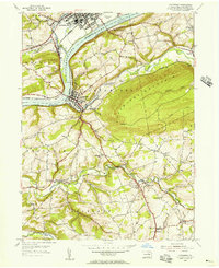 1955 Catawissa1956 Print · USGSThe Susquehanna River and its rail corridors dominate this Columbia County landscape in the mid-fifties. Researchers can trace ancestral connections at Old Quaker Ch, locate the historic Pensyls Mill, or explore the rail hubs of Catawissa and Bloomsburg.5 unique versions available
 - 1955 Map of Catawissa, 1960 Print
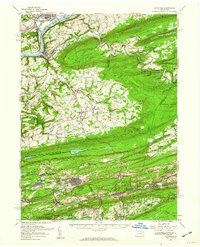 1955 Catawissa1960 Print · USGSThe coal and river valleys of Columbia and Schuylkill counties are shown here in the mid-1950s. Genealogists and historians can trace family roots through numerous sites like Centralia, St Marys Cem, and Parrs Mill.2 unique versions available
 - 1957 Map of Harrisburg
 1957 Harrisburg1957 Print · USGSMid-century Central Pennsylvania comes into focus as a bustling network of rail, river, and mountain ridges. Genealogists and historians can trace the development of the State Capitol and surrounding hubs like Middletown, Columbia, and Pottsville.7 unique versions available
 - 1961 Map of Harrisburg
 1961 Harrisburg1961 Print · USGSCentral Pennsylvania is shown at a mid-century peak of industrial and military activity, from the Susquehanna water gaps to the fertile Dutch Country. Genealogists and historians can trace the rail corridors of the Pennsylvania RR and find landmarks like Carlisle Barracks or the Anthracite Coal Fields.2 unique versions available
 - 1964 Map of Harrisburg
 1964 Harrisburg1964 Print · USGSCentral Pennsylvania in the mid-fifties reveals a landscape shaped by ridge-and-valley geology and critical Cold War infrastructure. Researchers can trace the massive Indiantown Gap Military Reservation or the rail corridors of the Pennsylvania RR and Reading RR.
 - 1976 Map of Ashland, 1979 Print
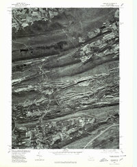 1976 Ashland1979 Print · USGSThe anthracite coal region of Schuylkill County is seen here in the late seventies through detailed aerial orthophotography. Researchers can trace the street grids and industrial footprints of Centralia, Girardville, and Gordon against the ridges of Broad Mountain.
 - 1977 Map of Mount Carmel, 1979 Print
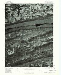 1977 Mount Carmel1979 Print · USGSMount Carmel and the anthracite coal region appear here in the late seventies, captured in detailed aerial imagery. Genealogists and historians can trace the gridded streets of Mount Carmel, Kulpmont, and Locust Gap against the ridges of Big Mountain.
 - 1984 Map of Sunbury, 1985 Print
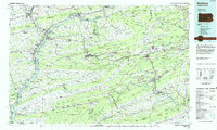 1984 Sunbury1985 Print · USGSPennsylvania coal country and the Susquehanna valley appear here in the early eighties, showcasing a landscape defined by industrial ridges and river towns. Genealogists and historians can trace rail corridors like Conrail and explore mountain settlements from Mahanoy City to Elizabethville.2 unique versions available
 - 2010 Map of Ashland, 2010 Print
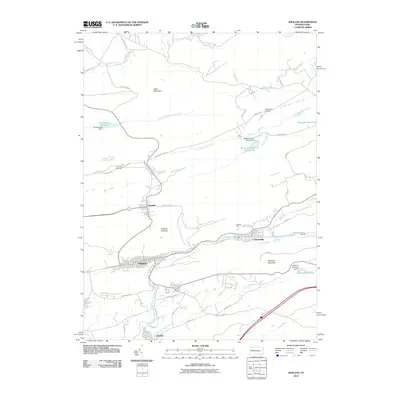 2010 Ashland2010 Print · USGSCovers Locust Township, including Girardville, Aristes, and other nearby areas
 - 2010 Map of Shumans, 2010 Print
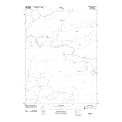 2010 Shumans2010 Print · USGSCovers Locust Township, including Main Township, Dogtown, and other nearby areas
 - 2010 Map of Mount Carmel, 2010 Print
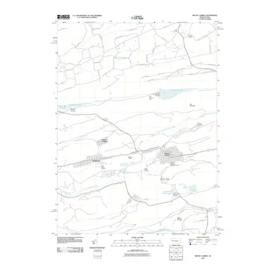 2010 Mount Carmel2010 Print · USGSCovers Locust Township, including Mount Carmel, Kulpmont, and other nearby areas
 - 2010 Map of Catawissa, 2010 Print
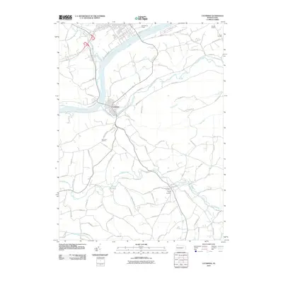 2010 Catawissa2010 Print · USGSCovers Locust Township, including Bloomsburg, Scott Township, and other nearby areas
 - 2013 Map of Ashland, 2013 Print
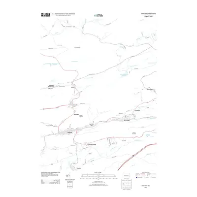 2013 Ashland2013 Print · USGSCovers Locust Township, including Girardville, Aristes, and other nearby areas
 - 2013 Map of Catawissa, 2013 Print
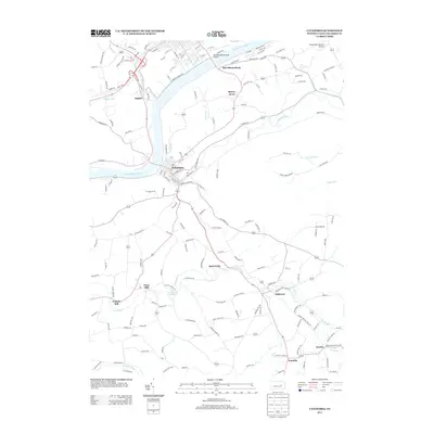 2013 Catawissa2013 Print · USGSCovers Locust Township, including Bloomsburg, Scott Township, and other nearby areas
Showing maps 1-25 of 39
Top cities near Locust Township
- Bloomsburg historical maps
- Pottsville historical maps
- Berwick historical maps
- Shamokin historical maps
- Mount Carmel historical maps
- Shenandoah historical maps
See more
Top neighborhoods of Locust Township
Frequently asked questions
- What are the different types of historical maps available for Locust Township?
- What is the oldest map of Locust Township?
- Where can I purchase historical maps of Locust Township for my home or office?
- Where can I download high-res historical maps of Locust Township?
- Are there historical topographic maps available for Locust Township?
- Is there historical aerial imagery available for Locust Township?
- Where are historical maps of Locust Township sourced from?