Old Maps of West Fallowfield Township, Pennsylvania for Metal Detecting
Plan your next treasure hunt with 32 historic maps of West Fallowfield Township. Find old homesites, ghost towns, trails, and gathering spots that may be lost to time — perfect for identifying promising metal detecting locations.
- Locate forgotten sites: Uncover places like long-lost settlements, abandoned rail lines, or gathering spots.
- Plan better hunts: Use map overlays combined with LiDAR or satellite views to narrow in on historically rich areas.
- Made for detectorists: Thousands of hobbyists use these maps to discover relics, coins, and hidden history.
Use these historic maps to boost your research and find new opportunities beneath the surface of West Fallowfield Township.
West Fallowfield Township, PA maps
(32)- 1906 Map of Linesville, 1958 Print
 1906 Linesville1958 Print · USGSCrawford County at the turn of the century is defined by its massive wetland systems and the busy rail corridors crossing the Pymatuning Swamp. Researchers can trace the early layout of Exposition Park on Conneaut Lake or locate old rural centers like Espyville Station and Center Road Station.
 - 1908 Map of Shenango
 1908 Shenango1908 Print · USGSMercer County at the height of the steam era reveals a landscape defined by an intricate network of competing rail lines and rural hamlets. Genealogists can trace family roots through numerous country schools like Ray School and churches such as Goodhope Church.5 unique versions available
 - 1908 Map of Linesville
 1908 Linesville1908 Print · USGSCrawford County at the turn of the century is a landscape of expansive wetlands and rising rail towns. Genealogists can trace family roots through numerous country schools like Brush College School or locate the historic Steamboat Route on Conneaut Lake.4 unique versions available
 - 1950 Map of Cleveland
 1950 Cleveland1950 Print · USGSCovers West Fallowfield Township, including Cleveland, Akron, and other nearby areas
 - 1956 Map of Cleveland, 1967 Print
 1956 Cleveland1967 Print · USGSNortheast Ohio and Western Pennsylvania are shown at their industrial height during the mid-fifties, from the steel mills to the lakeshore. Researchers can trace the massive Ravenna Arsenal, the Ohio Turnpike, and vanished rail sidings of the B & O RR.3 unique versions available
 - 1958 Map of Greensville West, 1960 Print
 1958 Greensville West1960 Print · USGSWestern Pennsylvania in the late fifties shows a bustling industrial and academic hub centered on the Shenango River. Genealogists and historians can trace the foundations of Greenville, from Thiel College to the path of the historic Erie Extension Canal.4 unique versions available
 - 1958 Map of Greensville East, 1960 Print
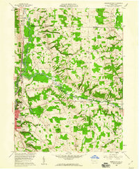 1958 Greensville East1960 Print · USGSMercer County is captured in the late fifties as a bustling crossroads of the New York Central and other major railroads. Genealogists and local researchers can trace family landmarks like Leechs Corners, Stevenson Cem, and Camp Rowland.3 unique versions available
 - 1959 Map of Hartstown, 1960 Print
 1959 Hartstown1960 Print · USGSCrawford County's western edge transitioned into a major recreational and conservation landscape in the late fifties. Genealogists can trace family footprints at Patton Cem or Southside Cem and locate vanished schoolhouses like North Shenango Sch.3 unique versions available
 - 1959 Map of Conneaut Lake, 1960 Print
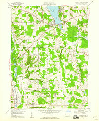 1959 Conneaut Lake1960 Print · USGSCrawford County in the late fifties shows a landscape balancing lakeside recreation with heavy industry and rail transport. Genealogists and historians can trace family plots at Adsit Cem or follow the path of the Erie RR and the Lake Erie and Ohio River Canal.4 unique versions available
 - 1962 Map of Cleveland
 1962 Cleveland1962 Print · USGSNortheast Ohio and the Pennsylvania borderlands appear here during the industrial peak of the early sixties. Genealogists and historians can trace the expansive rail lines of the Nickel Plate Road and the growth of suburbs from Parma to Lyndhurst.
 - 1986 Map of Ashtabula
 1986 Ashtabula1986 Print · USGSThe Lake Erie shoreline and the rural borderlands of Ohio and Pennsylvania are captured here as they appeared in the 1980s. You can trace industrial rail lines like the BESSEMER AND LAKE ERIE or locate family sites near Kelloggsville Cem and Pymatuning State Park.2 unique versions available
 - 1986 Map of Youngstown, 1988 Print
 1986 Youngstown1988 Print · USGSThe industrial corridor of the Mahoning Valley and the collegiate towns of Western Pennsylvania are captured here in the mid-eighties. Researchers can trace the rail lines of the Conrail network or locate historical sites like Churchill and Crown Hill Cem.2 unique versions available
 - 2010 Map of Greenville West, 2010 Print
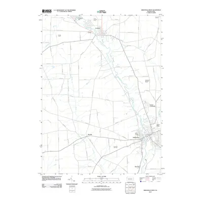 2010 Greenville West2010 Print · USGSGreenville and its surrounding river valleys are captured here at the start of the twenty-first century. Genealogists and local historians can trace the town's expansion near Shenango Valley Cemetery or locate smaller outposts like Maysville and Donner Crossroads.
 - 2010 Map of Greenville East, 2010 Print
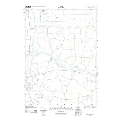 2010 Greenville East2010 Print · USGSThe rural Pennsylvania countryside of Mercer County is shown here in the early twenty-first century, centered on the Little Shenango River. Genealogists and local historians can trace family burial sites like Salem Cemetery and Freeland Cemetery or locate old community hubs like Petersburg and Kennard.
 - 2010 Map of Conneaut Lake, 2010 Print
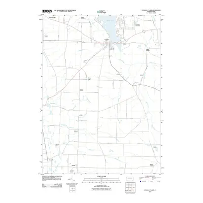 2010 Conneaut Lake2010 Print · USGSCrawford County at the start of the 2010s shows a landscape of glacial lakes and established rural settlements. Genealogists can trace family footprints across numerous sites like Mushrush Cemetery and Lynces Junction, or locate the Upper and Lower Dams near Adamsville.
 - 2010 Map of Hartstown, 2010 Print
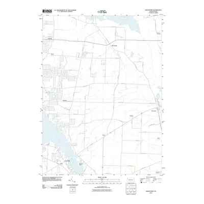 2010 Hartstown2010 Print · USGSCrawford County's rural townships and water-rich landscape are captured here at the start of the decade. Genealogists and local historians can trace family roots at Southside Cemetery and locate old crossroads like Marshall Corners or Stewartville.
 - 2013 Map of Conneaut Lake, 2013 Print
 2013 Conneaut Lake2013 Print · USGSCrawford County's glacial landscape is on full display in this survey of the area around Pennsylvania's largest natural lake. Genealogists and local historians can trace the path of the Erie Extension Canal and locate rural hubs like Adamsville, Stony Point, and Atlantic.
 - 2013 Map of Hartstown, 2013 Print
 2013 Hartstown2013 Print · USGSCrawford County's landscape in the early 2010s shows a fascinating mix of modern recreation and historic infrastructure. Researchers can trace the legacy of the Erie Extension Canal near Hartstown or locate family roots in Espyville and Turnersville.
 - 2013 Map of Greenville East, 2013 Print
 2013 Greenville East2013 Print · USGSMercer County at the start of the 2010s reveals a tapestry of historic crossroads and waterway infrastructure. Researchers can trace the path of the Erie Extension Canal and locate rural communities like Leechs Corners, Osborn, and Henlein.
 - 2013 Map of Greenville West, 2013 Print
 2013 Greenville West2013 Print · USGSGreenville and its surrounding river valleys are captured here during the early twenty-first century. Researchers can trace the development of riverside communities like Jamestown and Shenango, or locate family-named landmarks such as Donner Crossroads and the Greenville Municipal Airport.
 - 2016 Map of Greenville West, 2016 Print
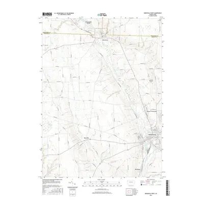 2016 Greenville West2016 Print · USGSThe confluence of the Shenango Rivers in western Pennsylvania anchors this detailed study of the area during its modern development. Genealogists and local historians can trace the campuses and landmarks of Greenville and Jamestown, including Thiel Coll and the Shenango Valley Cem.
 - 2016 Map of Conneaut Lake, 2016 Print
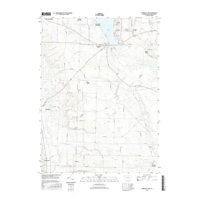 2016 Conneaut Lake2016 Print · USGSPennsylvania's resort and farming country comes into focus in the mid-2010s, centered on the glacial waters of Conneaut Lake. Genealogists and local historians can trace legacy sites like Lynces Junction or locate family burial grounds including Lakeview Cem and Hood Cem.
 - 2016 Map of Greenville East, 2016 Print
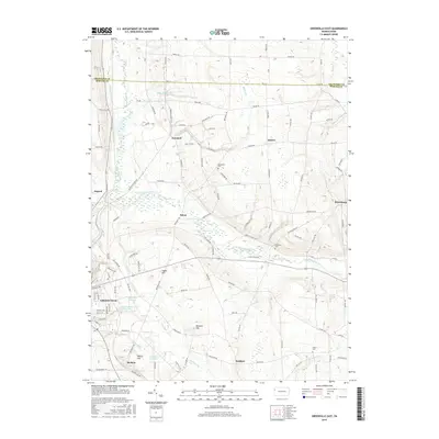 2016 Greenville East2016 Print · USGSMercer County's rural townships and water infrastructure are detailed here in the years before the recent decade. Genealogists and historians can trace family roots through the Stevenson Cem and Salem Cem, or locate the historic Erie Extension Canal and the borough of Greenville.
 - 2016 Map of Hartstown, 2016 Print
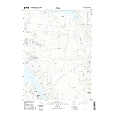 2016 Hartstown2016 Print · USGSCrawford County's wetland landscape and water-management history are on full display in this mid-2010s survey. Researchers can trace the path of the Erie Extension Canal and locate rural burial grounds like Patton Cem or the community of Hartstown.
 - 2019 Map of Greenville West, 2019 Print
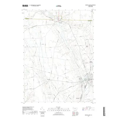 2019 Greenville West2019 Print · USGSGreenville and the surrounding Mercer County countryside are documented in this recent survey of the Shenango River valley. Local historians can trace the campuses and community landmarks of Jamestown, Thiel College, and the rural crossroads at Maysville.
Showing maps 1-25 of 32
Top cities near West Fallowfield Township
- Meadville historical maps
- Greenville historical maps
- Shenango historical maps
- Hartford Township historical maps
- Kinsman historical maps
- Kinsman Township historical maps
See more
Top neighborhoods of West Fallowfield Township
Frequently asked questions
- What are the different types of historical maps available for West Fallowfield Township?
- What is the oldest map of West Fallowfield Township?
- Where can I purchase historical maps of West Fallowfield Township for my home or office?
- Where can I download high-res historical maps of West Fallowfield Township?
- Are there historical topographic maps available for West Fallowfield Township?
- Is there historical aerial imagery available for West Fallowfield Township?
- Where are historical maps of West Fallowfield Township sourced from?