Old Maps of Mill Village, Pennsylvania for Academic Research
Study the evolution of Mill Village with 13 high-resolution historic maps. Whether you're teaching, researching, or modeling changes in land use, these maps provide essential visual documentation of urban, environmental, and geographic change.
- Analyze long-term change: Track patterns in development, transportation, and natural features.
- Ideal for environmental or urban studies: Support academic projects with primary historical map data.
- Use in the classroom or lab: Educators and researchers rely on these maps to bring historical context to life.
These maps are a powerful tool for teaching, research, and visualizing how Mill Village has changed over the decades.
Mill Village, PA maps
(13)- 1929 Map of Union City, 1961 Print
 1929 Union City1961 Print · USGSNorthwestern Pennsylvania in the late twenties remains a landscape of busy rail junctions and crossroads hamlets like Wattsburg and Union City. Genealogists can trace family footprints across dozens of local landmarks, including the Cottage Hill Ch, Barton Sch, and Tillotson Corners.
 - 1932 Map of Union City
 1932 Union City1932 Print · USGSNorthwestern Pennsylvania at the dawn of the 1930s reveals a landscape of thriving rail junctions and rural crossroads. Genealogists can trace family landmarks and forgotten hamlets such as Riceville, Mill Village, and the many one-room schools like Bonnell Sch.3 unique versions available
 - 1957 Map of Warren, 1964 Print
 1957 Warren1964 Print · USGSThe northern Pennsylvania oil and timber country comes into focus in the mid-fifties, showing the region before modern highway expansions. Trace the industrial rail networks of the Pennsylvania RR and the early Allegheny River Reservoir near Warren and Oil City.4 unique versions available
 - 1958 Map of Warren
 1958 Warren1958 Print · USGSNorthern Pennsylvania’s timber and oil country is captured here during the late fifties, showing the interplay of industrial valleys and vast state forests. Genealogists can trace family connections across the Cornplanter Indian Reservation or through rail hubs like Oil City and Saint Marys.
 - 1959 Map of Warren
 1959 Warren1959 Print · USGSNorthern Pennsylvania's oil and timber country comes alive in this late-fifties study of the forest-clad plateaus. Trace the historic Cornplanter (Indian Reservation), the sprawling Oil Field, and the rail lines of the Pennsylvania RR.2 unique versions available
 - 1967 Map of Waterford, 1973 Print
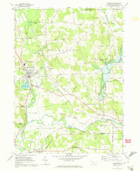 1967 Waterford1973 Print · USGSErie County's southern valleys come into focus in the 1960s, showing a landscape of rail corridors and small rural hamlets. Local historians can trace family-named roads and landmarks from the Covered Bridge near Waterford to the tracks of the Penn Central and Erie-Lackawanna railroads.3 unique versions available
 - 1971 Map of Warren
 1971 Warren1971 Print · USGSNorth Central Pennsylvania is captured here in the early seventies, showing a landscape defined by industrial centers and massive state forests. Genealogists and historians can trace the rail lines of the Penn Central and Erie Lackawanna connecting towns like Warren, Kane, and Du Bois.
 - 1983 Map of Warren, 1984 Print
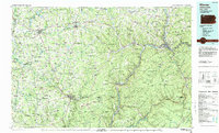 1983 Warren1984 Print · USGSNorthwestern Pennsylvania at the dawn of the 1980s reveals a landscape defined by the petroleum industry and expansive public lands. Trace the legacy of early oil at Drake Well Memorial Park and Pithole City Historical Site, or locate family sites near Warren State Hospital and Kellettville.
 - 2010 Map of Waterford, 2010 Print
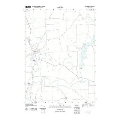 2010 Waterford2010 Print · USGSWaterford and the surrounding Erie County wetlands are captured here in the early twenty-first century as the landscape balances town life and water management. Local historians can trace the paths of French Creek, locate the historic Bonnell Cemetery, and explore small settlements like New Ireland.
 - 2013 Map of Waterford, 2013 Print
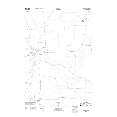 2013 Waterford2013 Print · USGSWaterford and the surrounding Erie County hamlets are captured in this modern survey of the French Creek valley. Genealogists and local historians can trace family locations near Mill Village, LeBoeuf Lake, and the small settlement of New Ireland.
 - 2016 Map of Waterford, 2016 Print
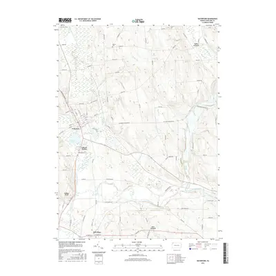 2016 Waterford2016 Print · USGSThe Erie County countryside near Waterford is captured here in the twenty-tens, showing the area's transition from town center to river valley. Researchers can trace historic sites like Bonnell Cem or locate the small communities of Mill Village and New Ireland.
 - 2019 Map of Waterford, 2019 Print
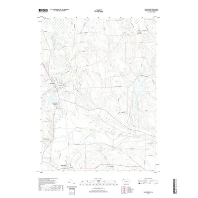 2019 Waterford2019 Print · USGSModern-day Erie County is documented in this 2019 survey, showing the residential and hydraulic patterns between Waterford and Mill Village. Trace local history through landmark cemeteries like Waterford Cem and the small hamlets of New Ireland and Valley Corners.
 - 2023 Map of Waterford, 2023 Print
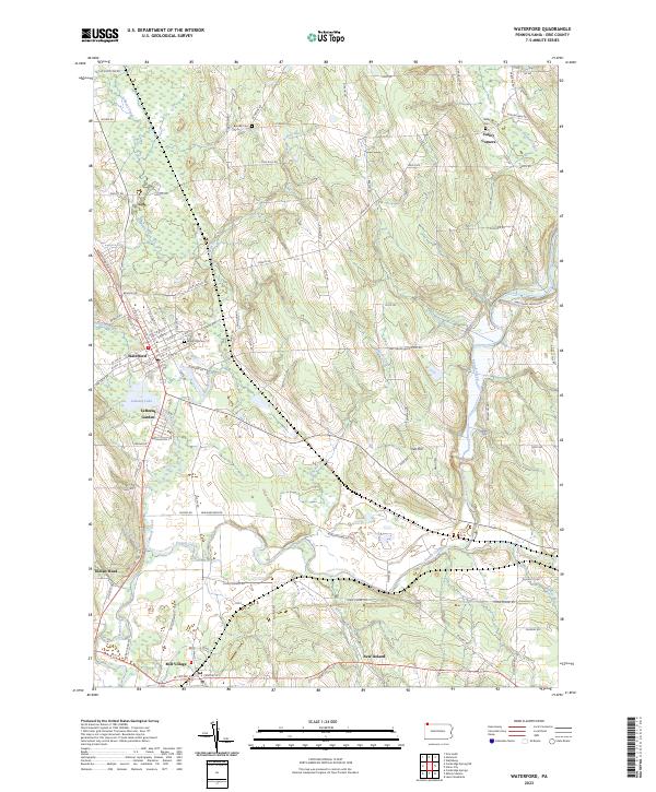 2023 Waterford2023 Print · USGSThe Erie County landscape around Waterford shows a detailed network of historic settlements and waterways in this recent survey. Researchers can locate Waterford Cemetery, trace the Norfolk Southern rail line, and explore smaller locales like Mill Village and New Ireland.
End of results
Showing maps 1-13 of 13
Top cities near Mill Village
- Erie historical maps
- Meadville historical maps
- Fairview Township historical maps
- Edinboro historical maps
- Union City historical maps
- Cambridge Springs historical maps
See more
Frequently asked questions
- What are the different types of historical maps available for Mill Village?
- What is the oldest map of Mill Village?
- Where can I purchase historical maps of Mill Village for my home or office?
- Where can I download high-res historical maps of Mill Village?
- Are there historical topographic maps available for Mill Village?
- Is there historical aerial imagery available for Mill Village?
- Where are historical maps of Mill Village sourced from?