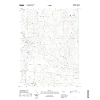
2019 Map of Waterford
USGS Topo · Published 2019About this map
The borough of Waterford and the village of Mill Village anchor this landscape in Erie County, where the waters of LeBoeuf Lake and French Creek define the local topography. This 2019 survey documents a region deeply connected to its hydrography, showing the complex drainage of Le Boeuf Creek, Benson Run, and the South Branch French Creek. The grid of Waterford is clearly delineated, with local streets like Circuit St and Depot Rd providing a detailed view of the settlement's layout.
Find a feature on this map
95 named features on this map. Tap any name to fly to it.
Don’t see what you’re looking for? This feature index may not catch every label — zoom into the map to look around manually.
Map Details
Editions of this 2019 Waterford Map
This is the sole edition of this map. No revisions or reprints were ever made.
Other maps of this area

1899 · Erie
USGS Topo · 1:62,500

1900 · Erie
USGS Topo · 1:62,500

1913 · North East
USGS Topo · 1:62,500

1915 · North East
USGS Topo · 1:62,500

1923 · Cambridge Springs
USGS Topo · 1:62,500

1925 · Cambridge Springs
USGS Topo · 1:62,500

1929 · Union City
USGS Topo · 1:62,500

1932 · Union City
USGS Topo · 1:62,500

1943 · North East
USGS Topo · 1:62,500

1943 · Cambridge Springs
USGS Topo · 1:62,500