Old Maps of Menallen Township, Pennsylvania for Academic Research
Study the evolution of Menallen Township with 26 high-resolution historic maps. Whether you're teaching, researching, or modeling changes in land use, these maps provide essential visual documentation of urban, environmental, and geographic change.
- Analyze long-term change: Track patterns in development, transportation, and natural features.
- Ideal for environmental or urban studies: Support academic projects with primary historical map data.
- Use in the classroom or lab: Educators and researchers rely on these maps to bring historical context to life.
These maps are a powerful tool for teaching, research, and visualizing how Menallen Township has changed over the decades.
Menallen Township, PA maps
(26)- 1900 Map of Uniontown
 1900 Uniontown1900 Print · USGSFayette County at the turn of the century shows a landscape defined by the iron and coal industries and early American frontier history. Researchers can locate significant sites like Fort Necessity, Braddocks Grave, and the path of the National Pike.5 unique versions available
 - 1900 Map of Masontown
 1900 Masontown1900 Print · USGSThe Monongahela River valley was a hub of transit and industry at the turn of the century, defined by its numerous ferry crossings and coal-country junctions. Researchers can trace historic river crossings like McCanns Ferry, follow the National Pike, and locate vanished rail stops at Ache Junction.
 - 1903 Map of Masontown
 1903 Masontown1903 Print · USGSThe Monongahela River valley at the turn of the century was a vital artery of ferries and river locks connecting Fayette and Greene Counties. Genealogists and local historians can trace family roots through riverfront landings and towns like Greensboro, Masontown, and Smithfield.4 unique versions available
 - 1931 Map of Uniontown, 1956 Print
 1931 Uniontown1956 Print · USGSFayette County is captured in the early 1930s during a period of transition for its mountain communities and industrial furnace towns. Genealogists can trace family roots at Sylvan Heights Cem or locate the rural Hughes Sch and Wharton Furnace.2 unique versions available
 - 1931 Map of Masontown, 1957 Print
 1931 Masontown1957 Print · USGSFayette County’s industrial landscape is captured here during the 1930s, showing the high-water mark of the regional coal and coke era. Genealogists and historians can trace company towns and numbered mines like Tower Hill No 1 and Thompson No 2 alongside river crossings like Crows Ferry.
 - 1935 Map of Masontown
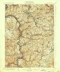 1935 Masontown1935 Print · USGSFayette and Greene Counties come alive in the 1930s as the river-and-rail economy of the Monongahela Valley reaches its peak. Genealogists can trace family roots through numerous country schools like Christopher Sch and historic sites such as Friendship Hill.2 unique versions available
 - 1939 Map of Uniontown
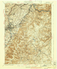 1939 Uniontown1939 Print · USGSFayette County was a powerhouse of industry and history during the 1930s. Genealogists and historians can trace the coke ovens and colliery towns from Juniatta Ovens to Lemont Furnace, or locate the Fort Necessity Battlefield Site.2 unique versions available
 - 1948 Map of Cumberland
 1948 Cumberland1948 Print · USGSMid-century Appalachia and the Shenandoah Valley are shown in detail, documenting the industrial and transportation hubs of the tri-state area. Genealogists can trace family roots through settlements like Double Tollgate and Bunker Hill or along the Baltimore & Ohio RR.3 unique versions available
 - 1952 Map of Cumberland
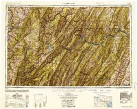 1952 Cumberland1952 Print · USGSThe Potomac Highlands and the Shenandoah Valley are revealed in this early 1950s survey of the Appalachian interior. Researchers can trace the river-and-rail corridors connecting Cumberland, Winchester, and the recreational waters of Deep Creek Lake.
 - 1956 Map of Cumberland, 1966 Print
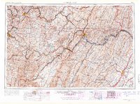 1956 Cumberland1966 Print · USGSThe tri-state Highlands in the mid-1950s show a landscape shaped by coal, timber, and the massive presence of the Baltimore & Ohio RR. Researchers can trace the industrial corridor from Cumberland through the Allegheny Mountains to mountain retreats like Deep Creek Lake.6 unique versions available
 - 1957 Map of Cumberland
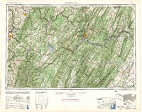 1957 Cumberland1957 Print · USGSThe Potomac River valley and the ridges of the Allegheny Front define this mid-century landscape at the intersection of Maryland, West Virginia, and Pennsylvania. Trace the steam-era rail lines of the Baltimore and Ohio RR or locate rural landmarks like St Stephens Church and Stony River Dam.
 - 1961 Map of Cumberland
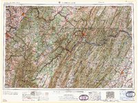 1961 Cumberland1961 Print · USGSThe tri-state highlands of Maryland, West Virginia, and Pennsylvania are shown in the mid-twentieth century as a complex landscape of ridges and river valleys. Researchers can trace the winding Potomac River and find old rail-and-river towns like Cumberland, Keyser, and Morgantown.
 - 1962 Map of Cumberland
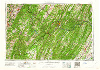 1962 Cumberland1962 Print · USGSThe central Appalachians meet at the height of the mid-century industrial era, showing the rugged topography between Morgantown and Winchester. Genealogists can trace family lands near Fort Necessity or along the vital Baltimore & Ohio RR corridors.
 - 1963 Map of Uniontown, 1965 Print
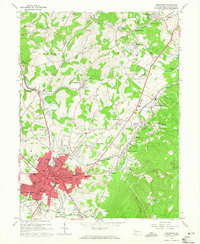 1963 Uniontown1965 Print · USGSUniontown and the surrounding Fayette County hills are captured here in the early sixties, a landscape defined by mining heritage and deep-rooted parishes. Genealogists and local historians can trace family locations through numerous sites like Calvary Cem, Vances Mill, and the many schools of North Union.3 unique versions available
 - 1964 Map of New Salem, 1965 Print
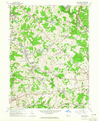 1964 New Salem1965 Print · USGSFayette County’s industrial heartland is seen here during the mid-1960s, a period of transition for its coal and coke communities. Genealogists and historians can trace family roots through settlements like Revere (Uledi PO), Cardale, and Footedale, or locate landmarks such as the Old Toll House.4 unique versions available
 - 1979 Map of Morgantown, 1983 Print
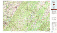 1979 Morgantown1983 Print · USGSThe northern Appalachian borderlands are captured here in the late seventies, showing the tri-state area of West Virginia, Pennsylvania, and Maryland. Genealogists and historians can trace the Mason and Dixon Line through mountain settlements like Markleysburg and across the Youghiogheny River Lake.
 - 2010 Map of New Salem, 2010 Print
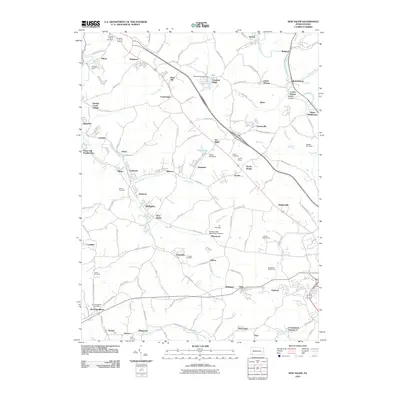 2010 New Salem2010 Print · USGSFayette County’s industrial landscape is captured here in the early twenty-first century, showcasing a legacy of coal-patch towns and rural hamlets. Researchers can trace family roots through numerous sites like Tomasza Cemetery, the Old Toll House, and the McClellandtown Post Office.
 - 2010 Map of Uniontown, 2010 Print
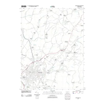 2010 Uniontown2010 Print · USGSThe Fayette County seat and its surrounding industrial townships are shown in detail during the early 2010s. Local researchers can trace family roots through numerous sites like Oak Hill Cemetery, Saint Josephs Cemetery, and the historic settlement at Lemont Furnace.
 - 2013 Map of New Salem, 2013 Print
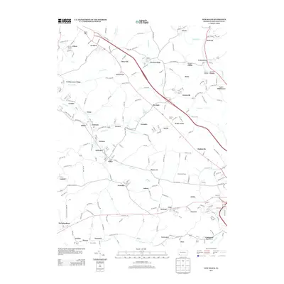 2013 New Salem2013 Print · USGSFayette County coal and patch towns are mapped in detail during the early twenty-first century. Genealogists and researchers can trace local landmarks like the Old Toll House, the rail junction at Ache Junction, and the distinct layouts of Brier Hill and Keisterville.
 - 2013 Map of Uniontown, 2013 Print
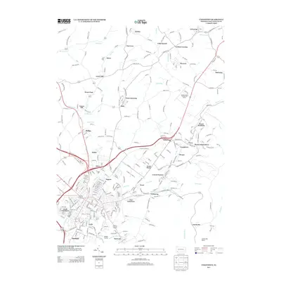 2013 Uniontown2013 Print · USGSFayette County at the start of the twenty-first century reveals a dense network of residential patches and aviation infrastructure. Genealogists and local historians can trace the streets of South Uniontown or locate the storied grounds of Lemont Furnace and Jumonville Rocks.
 - 2016 Map of New Salem, 2016 Print
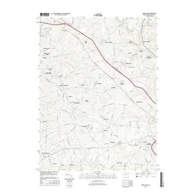 2016 New Salem2016 Print · USGSFayette County’s industrial and residential corridors are etched into this modern survey of the historic National Pike region. Genealogists and historians can trace the footprint of several coal-era settlements and burial sites like Tower Hill Number One, Saint Peters Cem, and Rocks Works.
 - 2016 Map of Uniontown, 2016 Print
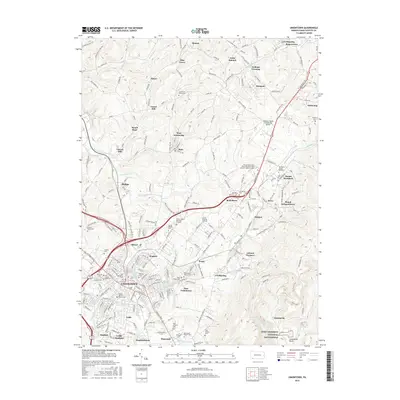 2016 Uniontown2016 Print · USGSUniontown and its surrounding coal-patch towns are captured here in the mid-2010s, showing the intersection of heavy industry and historical preservation. Genealogists can trace family plots at Oak Grove Cem or locate former works like Lemont Furnace.
 - 2019 Map of New Salem, 2019 Print
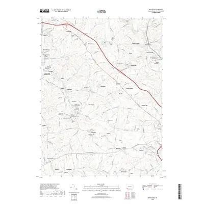 2019 New Salem2019 Print · USGSFayette County’s industrial and cultural landscape is captured here in the era of modern development and heritage preservation. Genealogists can trace family roots through numerous sites like Saint Thomas Roman Catholic Cem and Dunlap Creek Presbyterian Cem.
 - 2019 Map of Uniontown, 2019 Print
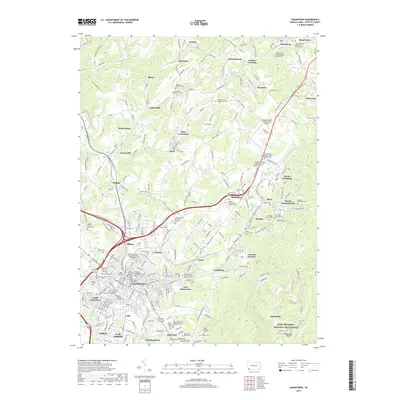 2019 Uniontown2019 Print · USGSFayette County’s industrial and civic heart is captured here in the late twenty-tens, showing the dense settlement of Uniontown alongside the rising terrain of Laurel Hill. Genealogists can locate dozens of burial sites like Old Laurel Hill Presbyterian Cem and the Hebrew Cem Association Burial Grounds.
 - 2023 Map of New Salem, 2023 Print
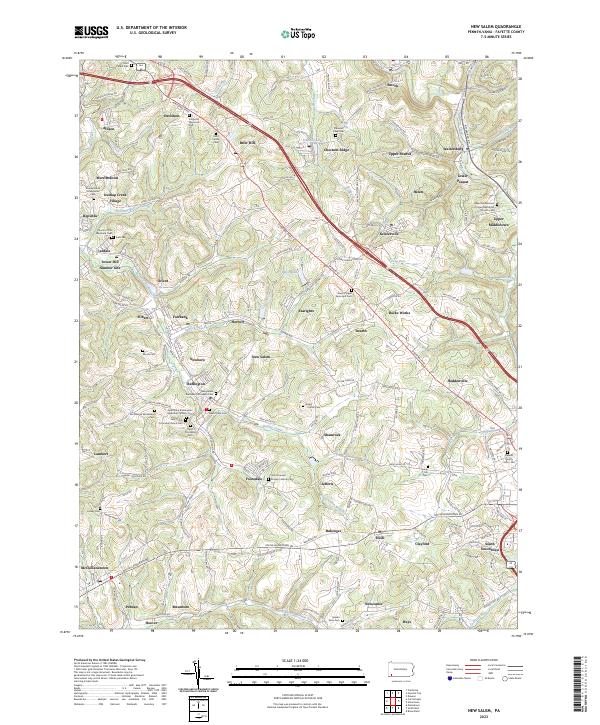 2023 New Salem2023 Print · USGSThe coal-country landscape near New Salem comes into focus in this recent survey. Genealogists can locate family burial sites at Saint Mary's Cem or Salem View Cem and trace the small residential clusters of Upper Peanut and Keisterville.
Showing maps 1-25 of 26
Top cities near Menallen Township
- Uniontown historical maps
- Connellsville historical maps
- Monessen historical maps
- California historical maps
- Luzerne Township historical maps
- Redstone historical maps
See more
Top neighborhoods of Menallen Township
- Smock historical maps
- Upper Middletown historical maps
- Newboro historical maps
- Rocks Works historical maps
- Sea Right historical maps
- Searights historical maps
See more
Frequently asked questions
- What are the different types of historical maps available for Menallen Township?
- What is the oldest map of Menallen Township?
- Where can I purchase historical maps of Menallen Township for my home or office?
- Where can I download high-res historical maps of Menallen Township?
- Are there historical topographic maps available for Menallen Township?
- Is there historical aerial imagery available for Menallen Township?
- Where are historical maps of Menallen Township sourced from?