Old Maps of Lurgan Township, Pennsylvania for Genealogy
Trace your family roots with 16 historic maps of Lurgan Township. These high-res maps reveal old neighborhoods, homesites, landmarks, and streets — helping you uncover where your ancestors lived and how the area evolved over time.
- Explore historic neighborhoods: Identify where your relatives may have lived in the 1800s or 1900s.
- Compare maps over time: Trace the changes in streets, buildings, and landmarks for multi-generational research.
- Perfect for genealogy & ancestry research: Used by family historians and researchers to map out lineage and migration.
These maps are an incredible resource for exploring your personal connection to Lurgan Township's past.
Lurgan Township, PA maps
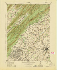
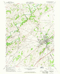
(16)- 1923 Map of Shippensburg
 1923 Shippensburg1923 Print · USGSShippensburg and its surrounding valley floor were defined by the rail lines and agricultural networks of the early twentieth century. Genealogists can locate dozens of country schools and churches, including Brookside School, Lurgan Sta, and the State Normal School campus.3 unique versions available
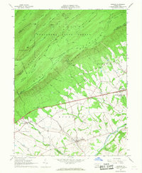
 - 1943 Map of Shippensburg, 1965 Print
 1943 Shippensburg1965 Print · USGSCumberland and Franklin Counties are captured here during the Second World War as modern infrastructure began to pierce the ridges. Researchers can trace family roots through dozens of rural landmarks like State Normal Sch, Orrstown, and the Union Ch.
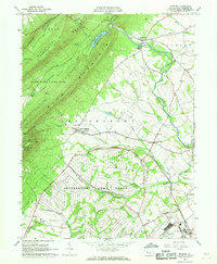
 - 1945 Map of Shippensburg
 1945 Shippensburg1945 Print · USGSCumberland and Franklin counties meet at the base of the ridges in the mid-1940s, just as modern infrastructure begins to reshape the valley. Genealogists and historians can trace numerous rural schoolhouses like Clay Hill Sch and early infrastructure like the Kittatinny Tunnel and State Normal Sch.
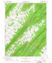
 - 1950 Map of Harrisburg, 1952 Print
 1950 Harrisburg1952 Print · USGSMid-century Central Pennsylvania comes alive through its dense rail networks and river valley settlements during the post-war industrial era. Genealogists and historians can trace family roots through hubs like Harrisburg, locate Carlisle Barracks, or follow the Pennsylvania RR through the Lebanon Valley.
 - 1957 Map of Harrisburg
 1957 Harrisburg1957 Print · USGSMid-century Central Pennsylvania comes into focus as a bustling network of rail, river, and mountain ridges. Genealogists and historians can trace the development of the State Capitol and surrounding hubs like Middletown, Columbia, and Pottsville.7 unique versions available
 - 1961 Map of Harrisburg
 1961 Harrisburg1961 Print · USGSCentral Pennsylvania is shown at a mid-century peak of industrial and military activity, from the Susquehanna water gaps to the fertile Dutch Country. Genealogists and historians can trace the rail corridors of the Pennsylvania RR and find landmarks like Carlisle Barracks or the Anthracite Coal Fields.2 unique versions available
 - 1964 Map of Harrisburg
 1964 Harrisburg1964 Print · USGSCentral Pennsylvania in the mid-fifties reveals a landscape shaped by ridge-and-valley geology and critical Cold War infrastructure. Researchers can trace the massive Indiantown Gap Military Reservation or the rail corridors of the Pennsylvania RR and Reading RR.
 - 1966 Map of Newburg, 1968 Print
 1966 Newburg1968 Print · USGSCumberland County life in the mid-sixties is centered on the valley around Newburg as the modern highway age reshapes the rural landscape. Genealogists can trace family names and local landmarks like Hanna Cem, Hopewell Ch, and the small settlement of McKinney.2 unique versions available
 - 1966 Map of Roxbury, 1968 Print
 1966 Roxbury1968 Print · USGSFranklin County's landscape in the mid-1960s reveals a unique mix of high-altitude forests and strategic military infrastructure. Genealogists can trace family roots through the valley's Township Sch, Emmanuel Ch, and the extensive grounds of the Letterkenny Army Depot.4 unique versions available
 - 1966 Map of Doylesburg, 1968 Print
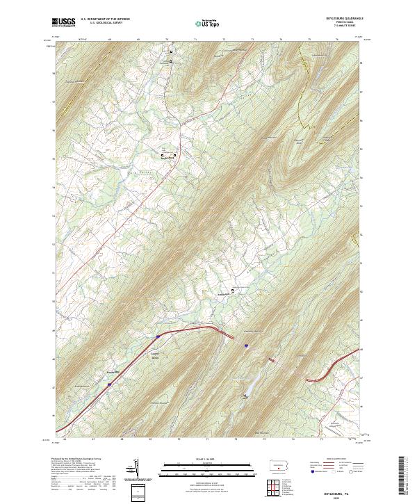
 1966 Doylesburg1968 Print · USGSFranklin County's ridge-and-valley landscape is captured here in the mid-1960s, showing a region defined by high timber and narrow farming gaps. Researchers can locate family sites at St Marys Ch Cem, the rural crossroads of Doylesburg, and the path of the Pennsylvania Turnpike.4 unique versions available
 - 1966 Map of Shippensburg, 1968 Print
 1966 Shippensburg1968 Print · USGSShippensburg and the fertile Cumberland Valley are captured here in the mid-sixties during a period of steady institutional and rail-driven growth. Genealogists and researchers can trace the neighborhoods around Shippensburg State College and the rural villages of Orrstown and Mainsville.3 unique versions available
 - 1984 Map of Carlisle, 1985 Print
 1984 Carlisle1985 Print · USGSSouth-central Pennsylvania is shown during the mid-eighties as a hub of military activity and mountain transit. Genealogists and historians can trace the development of Carlisle Barracks and Letterkenny Army Depot, alongside rail routes like Conrail.2 unique versions available
 - 2023 Map of Doylesburg, 2023 Print
 2023 Doylesburg2023 Print · USGSThe mountain gaps of northern Franklin County are surveyed here in recent detail, showing the rural communities of Path Valley and Amberson Valley. Local historians can trace family roots at the Concord Union Cem or locate the quiet grounds of Laurel Grove and Newbridge.
 - 2023 Map of Newburg, 2023 Print
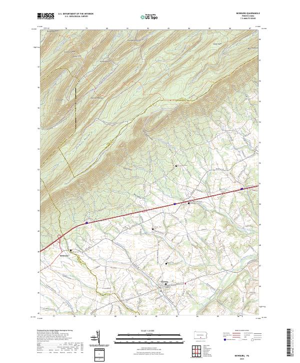 2023 Newburg2023 Print · USGSModern-day Newburg and McKinney are situated where the ridges of Blue Mountain and Sherman Mountain create a distinctive landscape of valleys and gaps. Researchers can trace local lineage through numerous sites including Zion Reformed Church Graveyard, Hoover - Bert Cem, and McKinney Cem.
 - 2023 Map of Shippensburg, 2023 Print
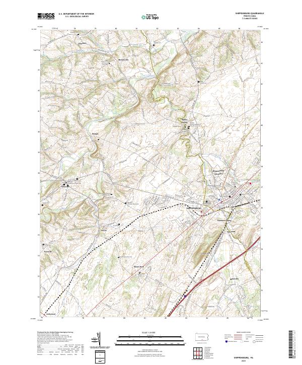 2023 Shippensburg2023 Print · USGSThe Cumberland Valley comes into focus in the early twenty-first century, centered on the growing campus of Shippensburg University. Genealogists can trace family names through dozens of historic burial grounds, including the Old Dutch Graveyard and the Middle Spring Presbyterian Church Cem-Old.
 - 2023 Map of Roxbury, 2023 Print
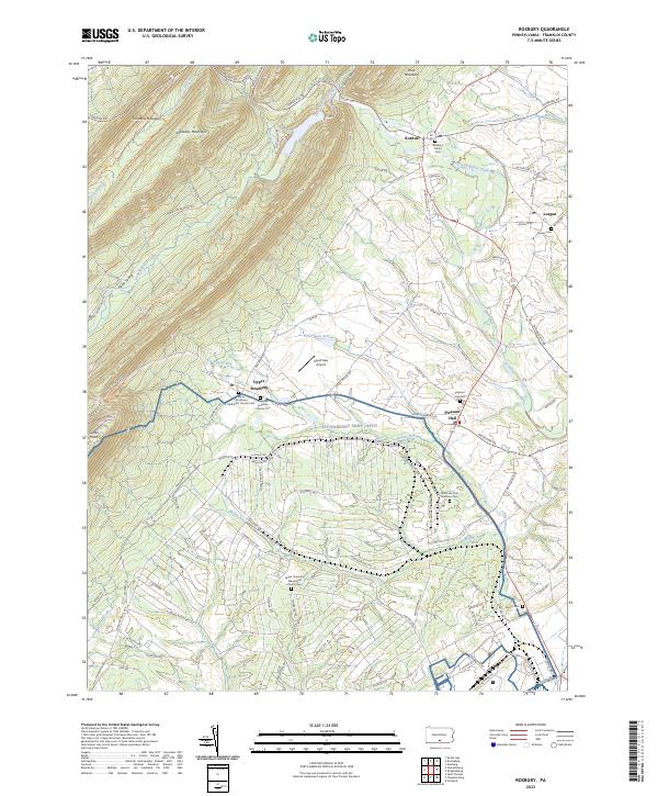 2023 Roxbury2023 Print · USGSFranklin County's rural heartland is documented here in the early twenty-first century, showing the enduring structure of its agricultural valleys. Genealogists can locate several historic burial sites, including the Lurgan Cem and Roxbury Union Cem, alongside the Emanuel Lutheran Church.
End of results
Showing maps 1-16 of 16
Top cities near Lurgan Township
- Chambersburg historical maps
- Shippensburg historical maps
- Fayetteville historical maps
- Guilford Township historical maps
- Metal Township historical maps
- Scotland historical maps
See more
Top neighborhoods of Lurgan Township
Frequently asked questions
- What are the different types of historical maps available for Lurgan Township?
- What is the oldest map of Lurgan Township?
- Where can I purchase historical maps of Lurgan Township for my home or office?
- Where can I download high-res historical maps of Lurgan Township?
- Are there historical topographic maps available for Lurgan Township?
- Is there historical aerial imagery available for Lurgan Township?
- Where are historical maps of Lurgan Township sourced from?