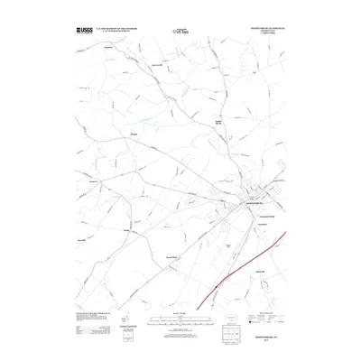
2013 Map of Shippensburg
USGS Topo · Published 2013About this map
Shippensburg anchors this region of the Cumberland Valley, showing the structured grid of its downtown streets including E King St and N Earl St as they appeared in 2013. The landscape is defined by the winding course of Conodoguinet Cr and its numerous tributaries such as Middle Spring Cr and Rowe Run. Small crossroads settlements and traditional neighborhood names are scattered throughout the surrounding countryside, from Orrstown in the west to Mowersville in the north and Mainsville in the southeast.
Find a feature on this map
104 named features on this map. Tap any name to fly to it.
Don’t see what you’re looking for? This feature index may not catch every label — zoom into the map to look around manually.
Map Details
Editions of this 2013 Shippensburg Map
This is the sole edition of this map. No revisions or reprints were ever made.
Other maps of this area

1902 · Chambersburg
USGS Topo · 1:62,500

1909 · Fairfield
USGS Topo · 1:62,500

1919 · Newville
USGS Topo · 1:62,500

1923 · Shippensburg
USGS Topo · 1:62,500

1942 · Hagerstown
USGS Topo · 1:125,000

1942 · Gettysburg
USGS Topo · 1:125,000

1943 · Hagerstown
USGS Topo · 1:125,000

1943 · Chambersburg
USGS Topo · 1:62,500

1943 · Shippensburg
USGS Topo · 1:62,500

1944 · Scotland
USGS Topo · 1:31,680