Old Maps of Montgomery Township, Pennsylvania for Academic Research
Study the evolution of Montgomery Township with 43 high-resolution historic maps. Whether you're teaching, researching, or modeling changes in land use, these maps provide essential visual documentation of urban, environmental, and geographic change.
- Analyze long-term change: Track patterns in development, transportation, and natural features.
- Ideal for environmental or urban studies: Support academic projects with primary historical map data.
- Use in the classroom or lab: Educators and researchers rely on these maps to bring historical context to life.
These maps are a powerful tool for teaching, research, and visualizing how Montgomery Township has changed over the decades.
Montgomery Township, PA maps
(43)- 1900 Map of Mercersburg
 1900 Mercersburg1900 Print · USGSFranklin County at the turn of the century is captured here as a landscape of iron furnaces and valley farms. Trace the early transport lines through Mercersburg, Richmond Furnace, and the old Southern Pennsylvania Br. rail line.
 - 1902 Map of Mercersburg
 1902 Mercersburg1902 Print · USGSFranklin and Fulton counties at the opening of the twentieth century show a landscape defined by iron furnaces and mountain gaps. Genealogists and historians can trace rail lines to Mercersburg Junction or locate family sites near Welsh Run and Foltz.5 unique versions available
 - 1912 Map of Williamsport
 1912 Williamsport1912 Print · USGSUpper Maryland and the West Virginia panhandle were bustling centers of river and rail transit before the First World War. Researchers can trace the path of the Chesapeake and Ohio Canal and locate family landmarks like Cushwa Mill or the St James School.3 unique versions available
 - 1942 Map of Hagerstown
 1942 Hagerstown1942 Print · USGSThe Cumberland Valley and Potomac corridor are captured here at the height of the Second World War rail-and-river era. Genealogists and historians can trace the industrial landscape of Richmond Furnace, the route of the Chesapeake and Ohio Canal, and the grounds of Camp Ritchie.
 - 1943 Map of Hagerstown
 1943 Hagerstown1943 Print · USGSThe Cumberland Valley was a critical wartime logistics hub in the 1940s, teeming with rail traffic and new military installations. Genealogists and historians can trace the Chesapeake and Ohio Canal or locate local landmarks like Richmond Furnace and Camp Ritchie.
 - 1943 Map of Mercersburg, 1952 Print
 1943 Mercersburg1952 Print · USGSMercersburg and the surrounding Cumberland Valley are shown here during the early 1940s as a landscape of rural school districts and rail-side hamlets. Researchers can trace family roots at Mercersburg Academy or locate old sites like Heimbaugh Lime and Claylick Sch.6 unique versions available
 - 1943 Map of Mercersburg, 1955 Print
 1943 Mercersburg1955 Print · USGSFranklin County in the 1940s is captured here in its transition from a ridge-and-valley wilderness to a settled agricultural heartland. Genealogists can trace family landmarks like Claylick Sch, the historic Mercersburg Academy, and the village of Fort Loudon.2 unique versions available
 - 1944 Map of Clear Spring
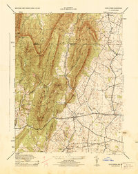 1944 Clear Spring1944 Print · USGSMaryland's Ridge and Valley province is captured here during the mid-1940s, showing a landscape defined by mountain gaps and valley settlements. Researchers can trace rural life through landmarks like Cushwa Mill, Dry Run Store, and the McLaughlin School.
 - 1944 Map of Mason-Dixon
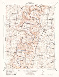 1944 Mason-Dixon1944 Print · USGSMaryland and Pennsylvania intersect along the creek-carved borderlands in the mid-1940s. Genealogists and researchers can trace family-named sites like Martins Crossroads, find local institutions such as White Pine School, or locate the Fairview Roller Mill.2 unique versions available
 - 1944 Map of Mercersburg
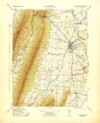 1944 Mercersburg1944 Print · USGSFranklin County's landscape during the 1940s reveals a well-developed network of small-town institutions and mountain-side preserves. Genealogists and historians can locate specific local landmarks like Mercersburg Academy, the Blue Spring School, and Heinbaugh Lime.
 - 1944 Map of Williamson
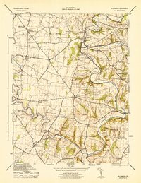 1944 Williamson1944 Print · USGSFranklin County's rural landscape is captured here during the mid-forties, showing the township life of Antrim and Montgomery. Genealogists can locate family-named schoolhouses and academies like the Welsh Run Academy and Pinefield School, or trace the rail line through Williamson.5 unique versions available
 - 1944 Map of Williamsport, 1959 Print
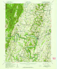 1944 Williamsport1959 Print · USGSMaryland and West Virginia meet along the winding Potomac in the mid-1940s, a landscape defined by river trade and mountain ridges. Genealogists and historians can trace the Chesapeake and Ohio Canal past McCoys Ferry, Cushwa Mill, and the Stonewall Jackson Monument.2 unique versions available
 - 1948 Map of Baltimore
 1948 Baltimore1948 Print · USGSMaryland and Pennsylvania crossroads are captured in the late 1940s, showing a landscape defined by historic rail lines and major military installations. Genealogists can trace family connections in Gettysburg, Westminster, and near the U.S. Naval Academy in Annapolis.2 unique versions available
 - 1953 Map of Mason-Dixon, 1954 Print
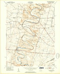 1953 Mason-Dixon1954 Print · USGSThe Mason-Dixon line bisects this fertile valley in the early 1950s, where the winding Conococheague Creek meets a network of country roads. Genealogists can trace old family sites and schools like Sunrise Sch, Steckerberger Sch, and the hamlet of Huyett.4 unique versions available
 - 1954 Map of Baltimore
 1954 Baltimore1954 Print · USGSThe Mid-Atlantic region in the early fifties shows a landscape of growing suburban centers and heavy rail corridors. Trace mid-century transit networks and military landmarks from the Aberdeen Proving Ground to the Gettysburg National Military Park.
 - 1955 Map of Clear Spring, 1956 Print
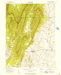 1955 Clear Spring1956 Print · USGSThe Maryland-Pennsylvania borderlands are captured here in the mid-fifties, centered on the historic Mason and Dixon Line. Researchers and genealogists can trace the rural network of the National Pike through Kasiesville and locate family sites like Cushwa Cem.3 unique versions available
 - 1956 Map of Baltimore
 1956 Baltimore1956 Print · USGSMid-century Maryland and Pennsylvania are captured here during a period of massive suburban and military growth across the Chesapeake region. Genealogists and historians can trace the rail corridors of the Baltimore & Ohio RR and locate landmarks like Fort McHenry or the Aberdeen Proving Ground.
 - 1957 Map of Baltimore, 1964 Print
 1957 Baltimore1964 Print · USGSMaryland and Southern Pennsylvania are shown during the mid-century expansion of the Baltimore-Washington corridor. Researchers can trace the extensive rail lines of the Baltimore & Ohio RR and locate sites like Fort Detrick and Gettysburg National Military Park.5 unique versions available
 - 1961 Map of Baltimore
 1961 Baltimore1961 Print · USGSMaryland and Pennsylvania are captured at a mid-century peak of industrial and military expansion. Genealogists and historians can trace rail corridors like the Western Maryland Ry or locate regional landmarks such as Camp Detrick and Kent Island.
 - 1983 Map of Hagerstown, 1984 Print
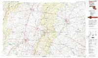 1983 Hagerstown1984 Print · USGSThe tri-state borderlands of Maryland, Pennsylvania, and West Virginia are shown in the early eighties as a hub of military installations and valley towns. Genealogists and historians can trace the landscape from Gettysburg National Military Park to the banks of the Potomac River.2 unique versions available
 - 1989 Map of Baltimore
 1989 Baltimore1989 Print · USGSThe Mid-Atlantic corridor in the late eighties is captured here, from the Baltimore harbor to the Blue Ridge foothills. Researchers can trace the sprawling footprints of Aberdeen Proving Ground, the historic grounds of Gettysburg National Military Park, and the winding Susquehanna River.
 - 1990 Map of Mercersburg, 1995 Print
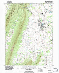 1990 Mercersburg1995 Print · USGSThe Mercersburg valley in the early nineties is a landscape of mountain ridges and historic education hubs. Researchers can trace the legacy of local families through landmarks like Spring Grove Cem, the Old Railroad Grade, and Mercersburg Academy.
 - 1990 Map of Williamson, 1995 Print
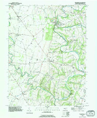 1990 Williamson1995 Print · USGSFranklin County's rolling hills and limestone creeks are captured here in the early nineties, showing a landscape defined by historic settlements and water. Genealogists can trace family connections at Montgomery Ch, the Martins Mill Covered Bridge, and the community at Welsh Run.
 - 2010 Map of Williamson, 2010 Print
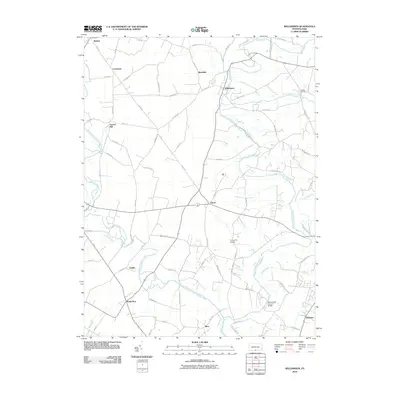 2010 Williamson2010 Print · USGSFranklin County in the early twenty-first century reveals a landscape defined by the winding Conococheague Creek and its historic crossings. Genealogists and historians can trace old road networks connecting Williamson, Lemasters, and the site of the Martins Mill Covered Bridge.
 - 2010 Map of Mercersburg, 2010 Print
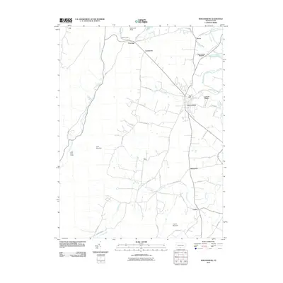 2010 Mercersburg2010 Print · USGSMercersburg and the surrounding Franklin County foothills are captured in this modern survey of the Appalachian fringe. Genealogists and local historians can trace family lands and rural crossroads near Cove Gap, Mercersburg Junction, and Claylick.
Showing maps 1-25 of 43
Top cities near Montgomery Township
- Hagerstown historical maps
- Chambersburg historical maps
- Halfway historical maps
- Robinwood historical maps
- Fountainhad-Orchard Hills historical maps
- Greencastle historical maps
See more
Top neighborhoods of Montgomery Township
- Vanilla historical maps
- Welsh Run historical maps
- Shimpstown historical maps
- Bino historical maps
- Claylick historical maps
- Kasiesville historical maps
See more
Frequently asked questions
- What are the different types of historical maps available for Montgomery Township?
- What is the oldest map of Montgomery Township?
- Where can I purchase historical maps of Montgomery Township for my home or office?
- Where can I download high-res historical maps of Montgomery Township?
- Are there historical topographic maps available for Montgomery Township?
- Is there historical aerial imagery available for Montgomery Township?
- Where are historical maps of Montgomery Township sourced from?