2000s (21st Century) Maps of Greene County, Pennsylvania
Explore 101 historic maps of Greene County from the 2000s (21st Century). These maps offer a rare glimpse into what life looked like during the 2000s — showing old roads, neighborhoods, homes, and landmarks that have changed or disappeared over time.
Whether you're researching your family's past, planning a metal detecting trip, or studying how Greene County's landscape evolved across the 2000s, these high-resolution maps are a powerful tool for exploring the history of this region.
- Focus on a specific era: All maps on this page are from the 2000s, giving you a focused view of this time period.
- See what’s changed: Compare century-old streets, trails, and buildings to today's modern landscape using overlays and satellite layers.
- Research with precision: Use these maps for genealogy, historical research, land use analysis, or educational projects.
- View, download, or print: Maps are fully viewable online in high resolution, and can be downloaded or printed for your own records.
Start exploring Greene County's history through authentic maps from the 2000s. This is your window into the past.
Greene County, PA maps
(101)- 2010 Map of Ellsworth, 2010 Print
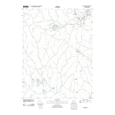 2010 Ellsworth2010 Print · USGSWashington County at the turn of the twenty-first century shows a landscape shaped by coal mining and small-town boroughs. Genealogists and historians can trace family roots through Saint Marys Cemetery or locate industrial sites like Mine 51 and the Cokeburg Reservoir.
 - 2010 Map of Prosperity, 2010 Print
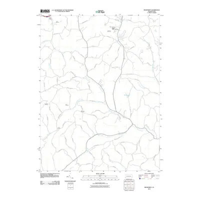 2010 Prosperity2010 Print · USGSEast Finley Township and Washington County are shown at the start of the 2010s, revealing a landscape of high ridges and deep creek valleys. Genealogists can locate several burial grounds including Elliott Cemetery and Carroll Cemetery, or trace the path of Tenmile Creek.
 - 2010 Map of Masontown, 2010 Print
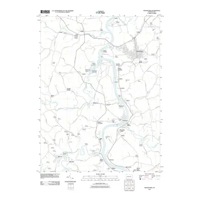 2010 Masontown2010 Print · USGSThe Monongahela River valley comes alive in this 2010 survey of Fayette County and the border of Greene County. Genealogists can trace family names through dozens of burial sites like Saint Agnes Cemetery and Mundell Cemetery, while industrial historians can locate the Poland Mines and Rocks Works.
 - 2010 Map of Wind Ridge, 2010 Print
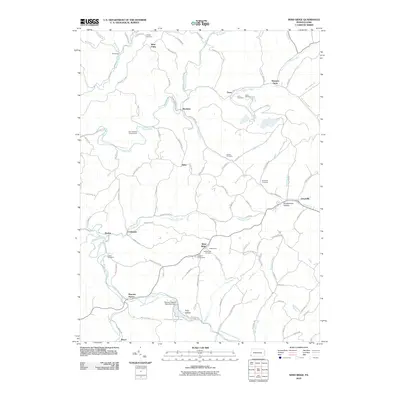 2010 Wind Ridge2010 Print · USGSThe southwestern Pennsylvania highlands are shown here in 2010, featuring the headwaters of the Dunkard Fork and Enlow Fork. Genealogists can trace numerous family burial sites like Lazear Cemetery or visit the long-standing Jacktown Fairgrounds near Wind Ridge.
 - 2010 Map of Rogersville, 2010 Print
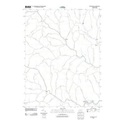 2010 Rogersville2010 Print · USGSWestern Washington County's ridge-and-valley landscape is documented here during the early twenty-first century. Researchers can trace family history through the roads and sites of Nineveh, Deer Lick, and the Bates Fork Cemetery.
 - 2010 Map of New Freeport, 2010 Print
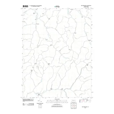 2010 New Freeport2010 Print · USGSAleppo Township and southern Greene County are mapped here in the early twenty-first century, showing a landscape defined by winding creek forks and high ridges. Researchers can trace family history through several rural burial sites, including Dunkard Cemetery and McDay Cemetery, or locate old landmarks like Smith Bridge.
 - 2010 Map of Holbrook, 2010 Print
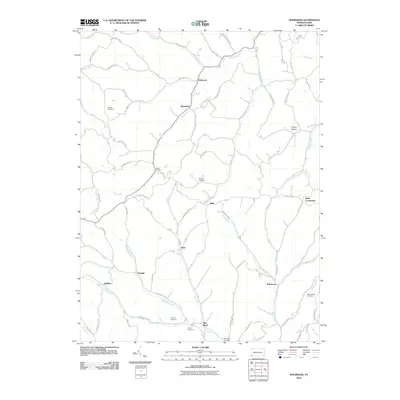 2010 Holbrook2010 Print · USGSGreene County’s rural valleys and hollows are captured here during the first decade of the 21st century. Genealogists can trace family burial sites at Higgins Cemetery or Phillips New Cemetery and locate small communities like Triumph and Buzz.
 - 2010 Map of Waynesburg, 2010 Print
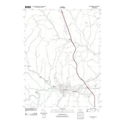 2010 Waynesburg2010 Print · USGSWaynesburg and its satellite communities are captured here in the first decade of the millennium. Genealogists and local historians can locate several family burial sites like Johnson Cemetery or trace the rural footprint of Rees Mill and Sycamore.
 - 2010 Map of Carmichaels, 2010 Print
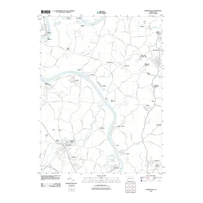 2010 Carmichaels2010 Print · USGSSouthwestern Pennsylvania's river-driven industrial landscape is captured here in the early twenty-first century. Genealogists and historians can trace family roots through Horner Cemetery, explore the coal-patch layouts of Crucible and Nemacolin, or locate the Simpson Tunnel.
 - 2010 Map of Oak Forest, 2010 Print
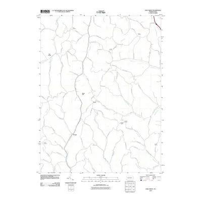 2010 Oak Forest2010 Print · USGSGreene County’s rural hollows and ridge-top settlements are captured here in the early twenty-first century. Genealogists can locate family burial sites like Phillips Cemetery and Fairview Cemetery or trace old routes near Spraggs and Gump.
 - 2010 Map of Garards Fort, 2010 Print
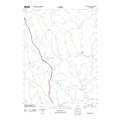 2010 Garards Fort2010 Print · USGSDunkard Township and the surrounding Greene County hills are shown here in the early twenty-first century, balancing deep coal mining roots with rural valley life. Genealogists and historians can locate numerous burial sites like Steele Cemetery and trace industrial landmarks such as the Garards Fort Shaft.
 - 2010 Map of Mather, 2010 Print
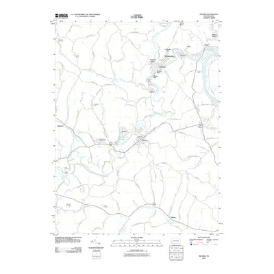 2010 Mather2010 Print · USGSThe Monongahela River coal country is captured here in the early twenty-first century, showing a landscape defined by mining and tight-knit hamlets. Researchers can trace the industrial footprint of the Emerald Mine and find local landmarks like Pitt Gas and Cumberland Cemetery.
 - 2011 Map of Morgantown North, 2011 Print
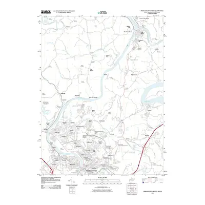 2011 Morgantown North2011 Print · USGSThe Monongahela and Cheat Rivers converge at the West Virginia-Pennsylvania border in this 2011 survey of the Morgantown area. Genealogists and historians can locate historical landmarks like Evans Ferry, Kerns Mill, and the Evergreen Memorial Park.
 - 2011 Map of Hundred, 2011 Print
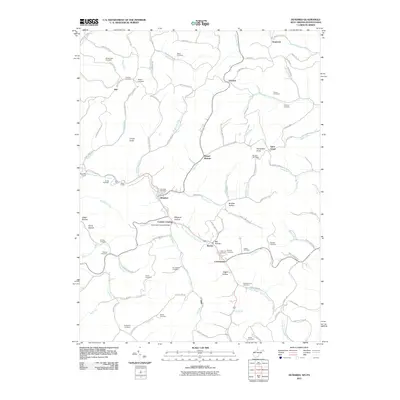 2011 Hundred2011 Print · USGSWetzel County's rugged ridge country and creek valleys are captured here at the start of the 21st century. Researchers can trace numerous family burial sites like McNicholas Cemetery and locate landmarks such as the Fish Creek Covered Bridge.
 - 2011 Map of Osage, 2011 Print
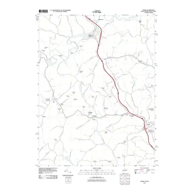 2011 Osage2011 Print · USGSThe Pennsylvania and West Virginia state line is documented here in the early twenty-first century, showing the enduring rural character of the Dunkard Creek valley. Genealogists can trace family heritage through numerous burial sites like Liming Cemetery and Simpson Cemetery or the Core Post Office.
 - 2011 Map of Majorsville, 2011 Print
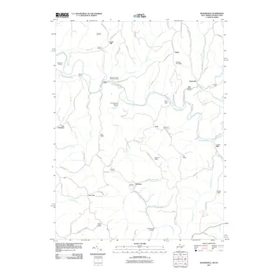 2011 Majorsville2011 Print · USGSThe borderlands of West Virginia and Pennsylvania appear here in the early twenty-first century as a landscape of interconnected ridges and narrow creek valleys. Researchers can locate family landmarks like Earlywine Cemetery and Wolf Run Cemetery or trace the early paths of Crows Mills and Majorsville.
 - 2011 Map of Littleton, 2011 Print
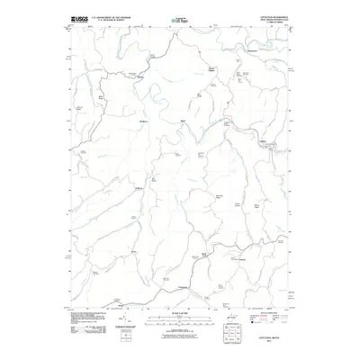 2011 Littleton2011 Print · USGSThe West Virginia-Pennsylvania borderlands are captured here just after the turn of the millennium, showing a landscape defined by ridges and creek forks. Genealogists can locate numerous burial sites like McCabe Cemetery and Strosnider Hill Cemetery or trace rail history at Board Tree Tunnel.
 - 2011 Map of Wadestown, 2011 Print
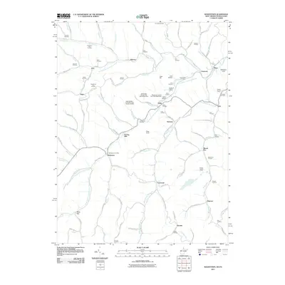 2011 Wadestown2011 Print · USGSThe Monongahela River basin at the turn of the 21st century reveals a landscape where deep-shaft mining and rural life coincide. Genealogists can trace family names through dozens of hilltop burial grounds like Old Mount Tabor Cemetery and Handgardner Cemetery, alongside coal operations at the Blacksville Number 2 Mine.
 - 2011 Map of Cameron, 2011 Print
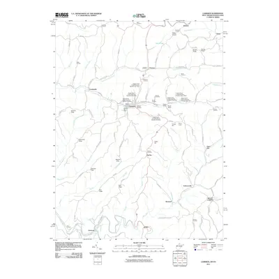 2011 Cameron2011 Print · USGSThe West Virginia-Pennsylvania borderlands come alive in this detailed record of Marshall County. Genealogists and historians can trace family roots through numerous sites like Bane Cemetery, the Welling Tunnel, and the settlement of Loudenville.
 - 2011 Map of Blacksville, 2011 Print
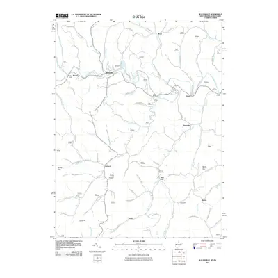 2011 Blacksville2011 Print · USGSNear the West Virginia and Pennsylvania border, this 2011 survey captures the rural character of Monongalia County and its historic family lands. Genealogists can trace family heritage through numerous burial sites including Blacksville Cemetery, Tennant Memorial Cemetery, and Eddy Chapel Cemetery.
 - 2013 Map of Prosperity, 2013 Print
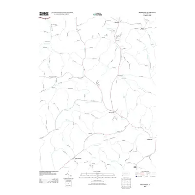 2013 Prosperity2013 Print · USGSSouthwestern Pennsylvania’s rural landscapes are recorded here in the early twenty-first century, showing the enduring settlement patterns of Washington County. Researchers can trace the homesteads and local roads around Prosperity, Old Concord, and the waters of Tenmile Cr.
 - 2013 Map of Ellsworth, 2013 Print
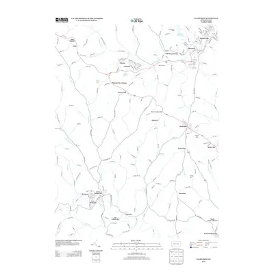 2013 Ellsworth2013 Print · USGSThe Monongahela Valley hinterlands of Washington County come into focus during the early twenty-first century, showing the enduring layouts of classic coal country towns. Researchers can trace the development of Bentleyville, Cokeburg, and Marianna, or locate rural landmarks like Old Zollarsville and the Cokeburg Reservoir.
 - 2013 Map of Masontown, 2013 Print
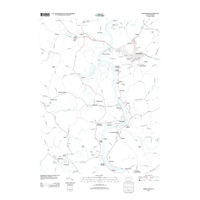 2013 Masontown2013 Print · USGSFayette and Greene counties are seen here in the early twenty-first century as the Monongahela River winds past long-standing river towns. Researchers can trace historical routes through Greensboro, Masontown, and New Geneva, or locate local landmarks like the Greensburg Ferry and Rocks Works.
 - 2013 Map of Rogersville, 2013 Print
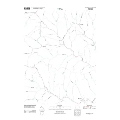 2013 Rogersville2013 Print · USGSThe rural valleys of Washington County are seen here in the early twenty-first century, centered on the historic crossroads of Nineveh. Researchers can trace the legacy of the region through small settlements like Rutan, local landmarks like Devils Half Acre, and Bear Lakes.
 - 2013 Map of Waynesburg, 2013 Print
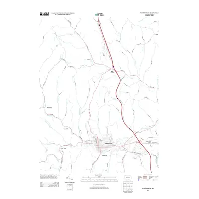 2013 Waynesburg2013 Print · USGSWaynesburg and Greene County appear at a time of modern growth and regional connectivity in the early twenty-first century. Researchers can trace family-named roads and rural settlements like Rees Mill, Castile, and Dark Hollow while following the many branches of S Fork Tenmile Cr.
Showing maps 1-25 of 101
Top cities of Greene County
- Waynesburg historical maps
- Dunkard Township historical maps
- Aleppo Township historical maps
- Carmichaels historical maps
- Rices Landing historical maps
- Jefferson historical maps
See more
Frequently asked questions
- What are the different types of historical maps available for Greene County?
- What is the oldest map of Greene County?
- Where can I purchase historical maps of Greene County for my home or office?
- Where can I download high-res historical maps of Greene County?
- Are there historical topographic maps available for Greene County?
- Is there historical aerial imagery available for Greene County?
- Where are historical maps of Greene County sourced from?