Old Maps of Dublin Township, Pennsylvania for Academic Research
Study the evolution of Dublin Township with 32 high-resolution historic maps. Whether you're teaching, researching, or modeling changes in land use, these maps provide essential visual documentation of urban, environmental, and geographic change.
- Analyze long-term change: Track patterns in development, transportation, and natural features.
- Ideal for environmental or urban studies: Support academic projects with primary historical map data.
- Use in the classroom or lab: Educators and researchers rely on these maps to bring historical context to life.
These maps are a powerful tool for teaching, research, and visualizing how Dublin Township has changed over the decades.
Dublin Township, PA maps
(32)- 1939 Map of Orbisonia, 1954 Print
 1939 Orbisonia1954 Print · USGSOrbisonia and the surrounding mountain gaps are captured in the late thirties just as the modern turnpike was transforming the valley. Researchers can trace the narrow-gauge East Broad Top RR or find rural landmarks like Burnt Cabins and Jordan Cem.7 unique versions available
 - 1940 Map of Orbisonia
 1940 Orbisonia1940 Print · USGSCentral Pennsylvania's Ridge and Valley province is captured here just as the Pennsylvania Turnpike reached Burnt Cabins. Researchers can trace the narrow-gauge EAST BROAD TOP RR and locate family landmarks like Jordan Cem, Kuhns Mill, or St Marys Ch.2 unique versions available
 - 1944 Map of Orbisonia
 1944 Orbisonia1944 Print · USGSCentral Pennsylvania's ridge-and-valley landscape is shown here at the height of the narrow-gauge era just as modern highways arrived. Researchers can trace the East Broad Top RR through Rockhill, find legacy family sites like Kuhns Mill, and locate the Pennsylvania Turnpike near Burnt Cabins.3 unique versions available
 - 1950 Map of Harrisburg, 1952 Print
 1950 Harrisburg1952 Print · USGSMid-century Central Pennsylvania comes alive through its dense rail networks and river valley settlements during the post-war industrial era. Genealogists and historians can trace family roots through hubs like Harrisburg, locate Carlisle Barracks, or follow the Pennsylvania RR through the Lebanon Valley.
 - 1957 Map of Harrisburg
 1957 Harrisburg1957 Print · USGSMid-century Central Pennsylvania comes into focus as a bustling network of rail, river, and mountain ridges. Genealogists and historians can trace the development of the State Capitol and surrounding hubs like Middletown, Columbia, and Pottsville.7 unique versions available
 - 1961 Map of Harrisburg
 1961 Harrisburg1961 Print · USGSCentral Pennsylvania is shown at a mid-century peak of industrial and military activity, from the Susquehanna water gaps to the fertile Dutch Country. Genealogists and historians can trace the rail corridors of the Pennsylvania RR and find landmarks like Carlisle Barracks or the Anthracite Coal Fields.2 unique versions available
 - 1964 Map of Harrisburg
 1964 Harrisburg1964 Print · USGSCentral Pennsylvania in the mid-fifties reveals a landscape shaped by ridge-and-valley geology and critical Cold War infrastructure. Researchers can trace the massive Indiantown Gap Military Reservation or the rail corridors of the Pennsylvania RR and Reading RR.
 - 1966 Map of Orbisonia, 1969 Print
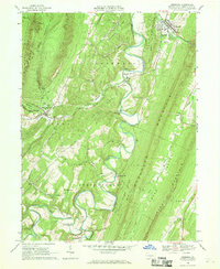 1966 Orbisonia1969 Print · USGSIn the mid-sixties, the ridges of Huntingdon County remained a land of small settlements and rugged mountain gaps. Local historians can trace family roots through the IOOF Cem, the McKendree Ch, and the rural crossroads of Meadow Gap and Maddensville.3 unique versions available
 - 1966 Map of Burnt Cabins, 1969 Print
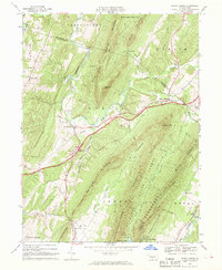 1966 Burnt Cabins1969 Print · USGSFulton County and the surrounding ridges are captured in the mid-sixties, showing the high-speed transit of the early turnpike era cutting through quiet valley settlements. Genealogists can locate family landmarks such as Cromwell Ch, Fort Littleton, and the small community of Sweetwater.3 unique versions available
 - 1966 Map of Shade Gap, 1969 Print
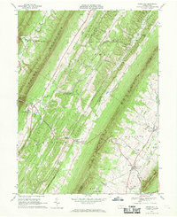 1966 Shade Gap1969 Print · USGSRidge-and-valley terrain in the mid-1960s defines this part of Huntingdon and Franklin counties, where rural life followed the mountain gaps. Genealogists can locate family sites at Gilliland Cem, Path Valley Cem, and the village of Neelyton.4 unique versions available
 - 1966 Map of Fannettsburg, 1969 Print
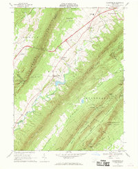 1966 Fannettsburg1969 Print · USGSPath Valley and its surrounding ridges in the 1960s reveal a landscape of secluded mountain gaps and established crossroads. Researchers can trace family sites at Lower Path Valley Cem, locate the Tollgate on the turnpike, or find the Burnt Cabins Landing Strip on the valley floor.3 unique versions available
 - 1984 Map of Carlisle, 1985 Print
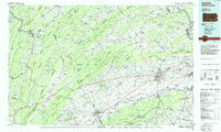 1984 Carlisle1985 Print · USGSSouth-central Pennsylvania is shown during the mid-eighties as a hub of military activity and mountain transit. Genealogists and historians can trace the development of Carlisle Barracks and Letterkenny Army Depot, alongside rail routes like Conrail.2 unique versions available
 - 2010 Map of Orbisonia, 2010 Print
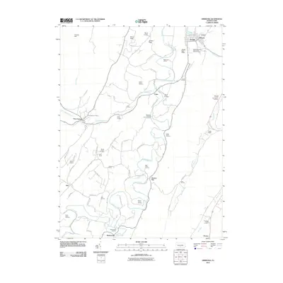 2010 Orbisonia2010 Print · USGSSouth-central Pennsylvania at the start of the twenty-first century reveals a landscape shaped by narrow valleys and deep-rooted family ties. You can trace early settlement patterns through numerous burial grounds like the Price Cemetery or the historic Fair Ridge Church Cemetery.
 - 2010 Map of Fannettsburg, 2010 Print
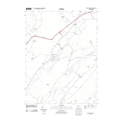 2010 Fannettsburg2010 Print · USGSPath Valley and the surrounding ridges of Franklin County are shown here at the start of the 2010s. Researchers can locate long-standing landmarks like Hoovers Mill, the Tuscarora Tunnel, and several historic burying grounds such as Cree Cemetery.
 - 2010 Map of Shade Gap, 2010 Print
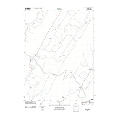 2010 Shade Gap2010 Print · USGSShade Gap and the ridges of Franklin County are shown in this 2010 study of rural Pennsylvania valley life. Genealogists can trace family heritage through numerous burial sites like the Bollinger Family Cemetery and Possumtown Cemetery.
 - 2010 Map of Burnt Cabins, 2010 Print
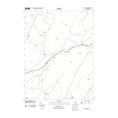 2010 Burnt Cabins2010 Print · USGSThe Pennsylvania ridge-and-valley country comes into sharp focus at the start of the twenty-first century, showing a landscape defined by gaps and historic trails. Trace the routes of Forbes Trail Rd and Stage Coach Rd near the old sites of Fort Littleton and Burnt Cabins.
 - 2013 Map of Shade Gap, 2013 Print
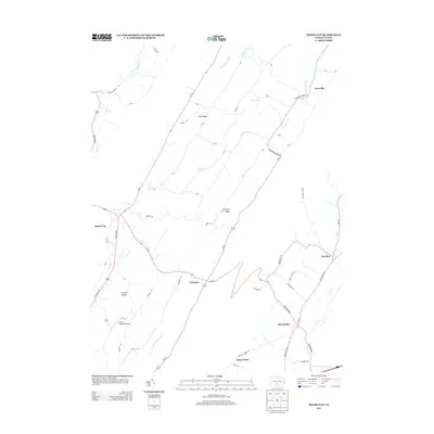 2013 Shade Gap2013 Print · USGSThe Ridge-and-Valley region of Pennsylvania comes into focus in this early twenty-first-century survey of Franklin and Huntingdon Counties. Researchers can trace the layout of traditional valley settlements like Shade Gap, Neelyton, and Spring Run or locate the Mills Brothers Airport.
 - 2013 Map of Burnt Cabins, 2013 Print
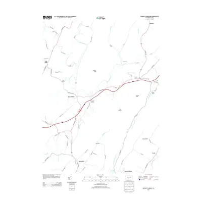 2013 Burnt Cabins2013 Print · USGSThe Ridge and Valley landscape of south-central Pennsylvania is shown here in the early twenty-first century, structured by historic gaps and narrow hollows. Researchers can trace the path of the old Forbes Trail Rd and locate rural landmarks like Burnt Cabins, Fort Littleton, and Cowans Gap Lake.
 - 2013 Map of Fannettsburg, 2013 Print
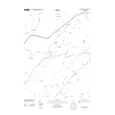 2013 Fannettsburg2013 Print · USGSThe Path Valley region of Franklin County is mapped here in the early twenty-first century as it sits between towering ridgelines. Genealogists and local historians can trace small settlements and crossings like Fannettsburg, Hoovers Bridge, and the historic Tuscarora Tunnel.
 - 2013 Map of Orbisonia, 2013 Print
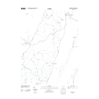 2013 Orbisonia2013 Print · USGSOrbisonia and Rockhill sit at the heart of this Huntingdon County valley in the early twenty-first century. Genealogists and local historians can trace family locations near Saint Mary's Covered Bridge, Wible Corner, and Meadow Gap.
 - 2016 Map of Orbisonia, 2016 Print
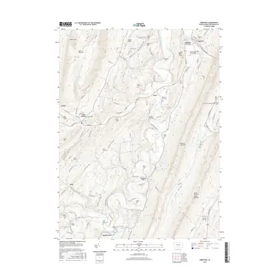 2016 Orbisonia2016 Print · USGSHuntingdon County's ridge-and-valley terrain is on full display here in the mid-2010s, showing a landscape defined by sharp mountain gaps and winding creeks. Genealogists can trace family heritage through numerous remote sites, from the Rockhill Independent Order of Odd Fellows Cem to the Saint Mary's Covered Bridge.
 - 2016 Map of Fannettsburg, 2016 Print
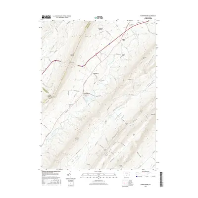 2016 Fannettsburg2016 Print · USGSFranklin County's Path Valley is shown here in the mid-2010s, where small farming communities sit between the high ridges of the Appalachians. Researchers can trace family sites at Lower Path Valley Cem and explore the geography of Fannettsburg or the Tuscarora Tunnel.
 - 2016 Map of Shade Gap, 2016 Print
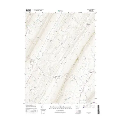 2016 Shade Gap2016 Print · USGSThe ridge-and-valley terrain of Franklin and Huntingdon Counties is meticulously detailed here in the mid-2010s. Researchers can locate family burial sites like Bolinger Family Cem and trace rural life around Shade Gap and Neelyton.
 - 2016 Map of Burnt Cabins, 2016 Print
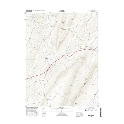 2016 Burnt Cabins2016 Print · USGSThe Pennsylvania frontier comes to life in this mid-2010s survey of the mountain gaps and valleys where Fulton Co and Franklin Co meet. Genealogists and historians can trace the foundations of Fort Littleton, locate the Cromwell Church Cem, and explore the mountain hamlets of Burnt Cabins and Knobsville.
 - 2019 Map of Orbisonia, 2019 Print
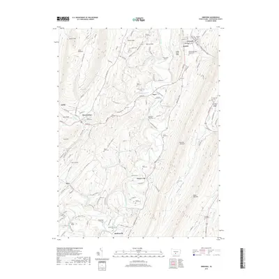 2019 Orbisonia2019 Print · USGSHuntingdon County's ridge-and-valley landscape is documented here in the modern era, centered on the historic connection between Orbisonia and Rockhill. Genealogists can locate numerous family burial sites like the Kyler Family Cem and landmarks such as the Saint Mary's Covered Bridge.
Showing maps 1-25 of 32
Top cities near Dublin Township
- Chambersburg historical maps
- Lurgan Township historical maps
- Guilford Township historical maps
- Metal Township historical maps
- McConnellsburg historical maps
- Todd Township historical maps
See more
Top neighborhoods of Dublin Township
Frequently asked questions
- What are the different types of historical maps available for Dublin Township?
- What is the oldest map of Dublin Township?
- Where can I purchase historical maps of Dublin Township for my home or office?
- Where can I download high-res historical maps of Dublin Township?
- Are there historical topographic maps available for Dublin Township?
- Is there historical aerial imagery available for Dublin Township?
- Where are historical maps of Dublin Township sourced from?