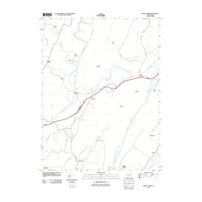
2010 Map of Burnt Cabins
USGS Topo · Published 2010About this map
Fort Littleton and Burnt Cabins anchor this portion of the Pennsylvania landscape, where the ridges of the Appalachian Mountains dictate the path of both water and travel. The topography is defined by prominent elevations like Sidneys Knob and Gobblers Knob, creating distinct geographic pockets such as Allens Valley and The Cove. The drainage system is particularly complex here, with the North Branch and South Branch Little Aughwick Creek converging near the settlement of Burnt Cabins.
Find a feature on this map
56 named features on this map. Tap any name to fly to it.
Don’t see what you’re looking for? This feature index may not catch every label — zoom into the map to look around manually.
Map Details
Editions of this 2010 Burnt Cabins Map
This is the sole edition of this map. No revisions or reprints were ever made.
Other maps of this area

1900 · Mercersburg
USGS Topo · 1:62,500

1902 · Mercersburg
USGS Topo · 1:62,500

1925 · Needmore
USGS Topo · 1:48,000

1930 · Broad Top
USGS Topo · 1:62,500

1933 · Broad Top
USGS Topo · 1:62,500

1935 · Needmore
USGS Topo · 1:62,500

1939 · Needmore
USGS Topo · 1:62,500

1939 · Orbisonia
USGS Topo · 1:62,500

1940 · Orbisonia
USGS Topo · 1:62,500

1942 · Hagerstown
USGS Topo · 1:125,000
Featured Places
- Metal Township, PA
- Burnt Cabins, Dublin Township
- Clear Ridge, Dublin Township
- Fort Littleton, Dublin Township
- Licking Creek Township, PA