
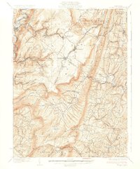
1933 Map of Broad Top
USGS Topo · Published 1933About this map
The Huntingdon and Broad Top Mountain RR snakes through this coal-rich region, connecting the industrial operations of the early 1930s. The topographic landscape is dominated by the massive ridge of Broad Top Mountain, which dictates the placement of company towns and extraction sites like the Garlick Mine near Defiance. Along the narrow valleys, several dual-named settlements like Coaldale Six Mile Run PO and Broad Top City Broad Top PO highlight the importance of the postal and rail network in these isolated communities.
Find a feature on this map
101 named features on this map. Tap any name to fly to it.
Don’t see what you’re looking for? This feature index may not catch every label — zoom into the map to look around manually.
Map Details
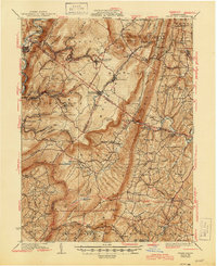
Editions of this 1933 Broad Top Map
3 editions found
Other maps of this area

1900 · Mercersburg
USGS Topo · 1:62,500

1900 · Everett
USGS Topo · 1:62,500

1901 · Huntingdon
USGS Topo · 1:62,500

1902 · Everett
USGS Topo · 1:62,500

1902 · Mercersburg
USGS Topo · 1:62,500

1902 · Hollidaysburg
USGS Topo · 1:62,500

1903 · Hollidaysburg
USGS Topo · 1:62,500

1904 · Huntingdon
USGS Topo · 1:62,500

1922 · Mt Union
USGS Topo · 1:48,000

1924 · Mt. Union
USGS Topo · 1:62,500