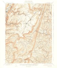
1933 Map of Broad Top
USGS Topo · Published 1933About this map
Huntingdon and Broad Top Mountain RR corridors define the industrial landscape of the early 1930s, winding through deep valleys to serve the coal-rich heights of Broad Top Mtn. The map documents a rugged interior of the Alleghenies where isolated settlements like Broad Top City and Robertsdale supported intensive extraction efforts, evidenced by sites like the Garlick Mine.
Find a feature on this map
124 named features on this map. Tap any name to fly to it.
Don’t see what you’re looking for? This feature index may not catch every label — zoom into the map to look around manually.
Map Details
Editions of this 1933 Broad Top Map
3 editions found

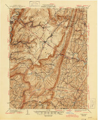
Other maps of this area

1900 · Mercersburg
USGS Topo · 1:62,500

1900 · Everett
USGS Topo · 1:62,500

1901 · Huntingdon
USGS Topo · 1:62,500

1902 · Everett
USGS Topo · 1:62,500

1902 · Mercersburg
USGS Topo · 1:62,500

1902 · Hollidaysburg
USGS Topo · 1:62,500

1903 · Hollidaysburg
USGS Topo · 1:62,500

1904 · Huntingdon
USGS Topo · 1:62,500

1922 · Mt Union
USGS Topo · 1:48,000

1924 · Mt. Union
USGS Topo · 1:62,500