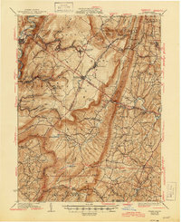
1933 Map of Broad Top
USGS Topo · Published 1945About this map
The coal-mining and tanning landscapes of central Pennsylvania define this 1933 survey, where the Huntingdon and Broad Top Mtn RR follows the Raystown Branch Juniata River through Riddlesburg and Saxton. The map records a dense network of industrial settlements and post offices associated with the coal fields, including Broad Top City, Coaldale, and Dudley. Local commercial life is evident in features like Wells Tannery and the Garlick Mine, while smaller stopping points such as Shortys Place and Bills Place appear along the southern roadways.
Find a feature on this map
138 named features on this map. Tap any name to fly to it.
Don’t see what you’re looking for? This feature index may not catch every label — zoom into the map to look around manually.
Map Details
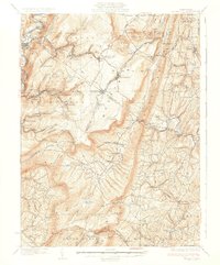
Editions of this 1933 Broad Top Map
3 editions found

Other maps of this area

1900 · Mercersburg
USGS Topo · 1:62,500

1900 · Everett
USGS Topo · 1:62,500

1901 · Huntingdon
USGS Topo · 1:62,500

1902 · Everett
USGS Topo · 1:62,500

1902 · Mercersburg
USGS Topo · 1:62,500

1902 · Hollidaysburg
USGS Topo · 1:62,500

1903 · Hollidaysburg
USGS Topo · 1:62,500

1904 · Huntingdon
USGS Topo · 1:62,500

1922 · Mt Union
USGS Topo · 1:48,000

1924 · Mt. Union
USGS Topo · 1:62,500