2000s (21st Century) Maps of Union Township, Pennsylvania
Explore 10 historic maps of Union Township from the 2000s (21st Century). These maps offer a rare glimpse into what life looked like during the 2000s — showing old roads, neighborhoods, homes, and landmarks that have changed or disappeared over time.
Whether you're researching your family's past, planning a metal detecting trip, or studying how Union Township's landscape evolved across the 2000s, these high-resolution maps are a powerful tool for exploring the history of this region.
- Focus on a specific era: All maps on this page are from the 2000s, giving you a focused view of this time period.
- See what’s changed: Compare century-old streets, trails, and buildings to today's modern landscape using overlays and satellite layers.
- Research with precision: Use these maps for genealogy, historical research, land use analysis, or educational projects.
- View, download, or print: Maps are fully viewable online in high resolution, and can be downloaded or printed for your own records.
Start exploring Union Township's history through authentic maps from the 2000s. This is your window into the past.
Union Township, PA maps
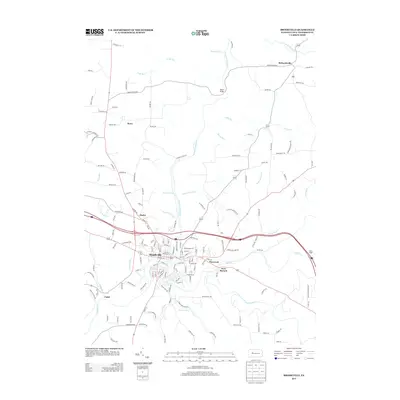
(10)- 2010 Map of Brookville, 2010 Print
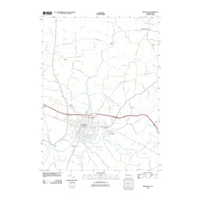 2010 Brookville2010 Print · USGSCovers Union Township, including Brookville, Warsaw Township, and other nearby areas
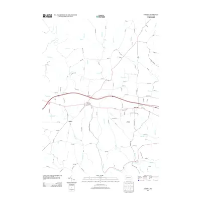
 - 2010 Map of Corsica, 2010 Print
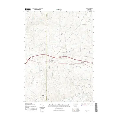
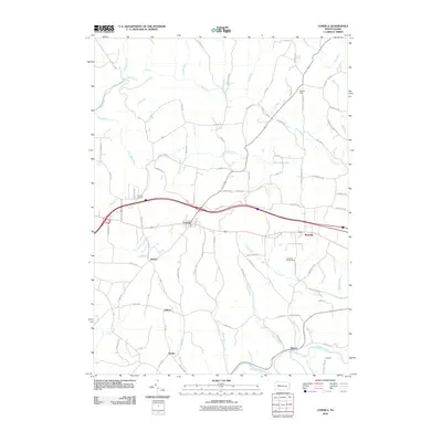 2010 Corsica2010 Print · USGSCovers Union Township, including Limestone Township, Corsica, and other nearby areas
 - 2013 Map of Brookville, 2013 Print
 2013 Brookville2013 Print · USGSCovers Union Township, including Brookville, Warsaw Township, and other nearby areas
 - 2013 Map of Corsica, 2013 Print
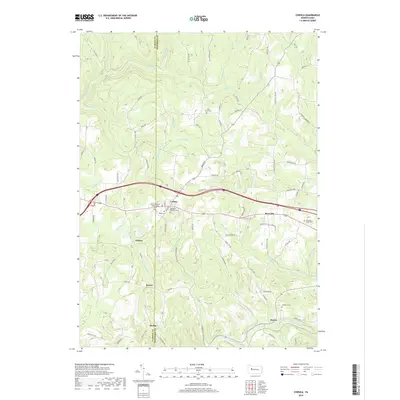
 2013 Corsica2013 Print · USGSCovers Union Township, including Limestone Township, Corsica, and other nearby areas
 - 2016 Map of Corsica, 2016 Print
 2016 Corsica2016 Print · USGSCovers Union Township, including Limestone Township, Corsica, and other nearby areas
 - 2016 Map of Brookville, 2016 Print
 2016 Brookville2016 Print · USGSCovers Union Township, including Brookville, Warsaw Township, and other nearby areas
 - 2019 Map of Brookville, 2019 Print
 2019 Brookville2019 Print · USGSCovers Union Township, including Brookville, Warsaw Township, and other nearby areas
 - 2019 Map of Corsica, 2019 Print
 2019 Corsica2019 Print · USGSCovers Union Township, including Limestone Township, Corsica, and other nearby areas
 - 2023 Map of Corsica, 2023 Print
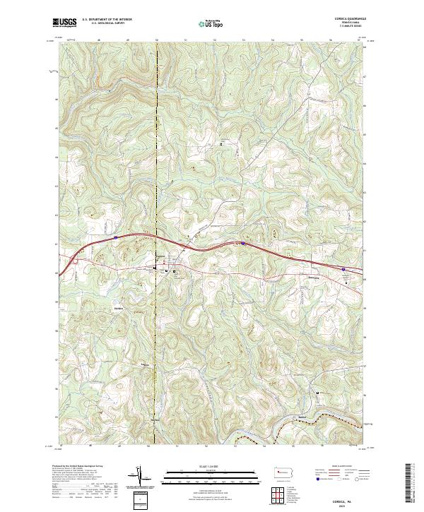 2023 Corsica2023 Print · USGSJefferson and Clarion counties appear here in the early twenty-first century, showing a landscape of ridge-top towns and deep creek valleys. Genealogists can trace family names and burial sites like Roseville Bethel Cem, Pisgah Cem, and the settlement of Harlan.
 - 2023 Map of Brookville, 2023 Print
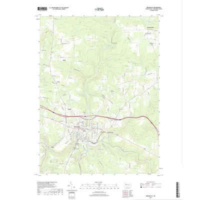
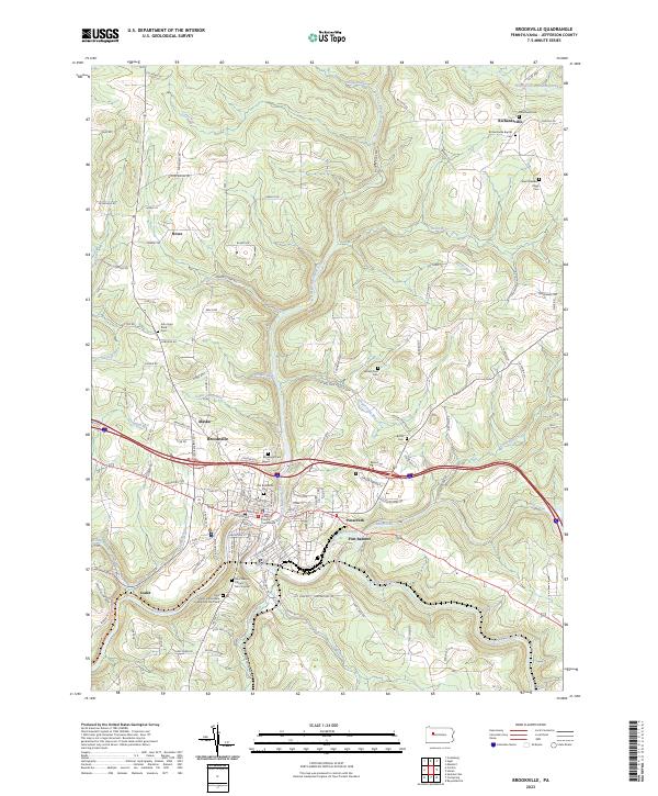 2023 Brookville2023 Print · USGSBrookville and the surrounding Jefferson County highlands are documented here in the early twenty-first century as the community balances modern growth with deep roots. Trace local genealogy and legacy through the Jefferson County Courthouse, Moorhead Cem, and Richardsville.
End of results
Showing maps 1-10 of 10
Top cities near Union Township
- Clarion historical maps
- Brookville historical maps
- Limestone Township historical maps
- Warsaw Township historical maps
- New Bethlehem historical maps
- Ringgold Township historical maps
See more
Top neighborhoods of Union Township
Frequently asked questions
- What are the different types of historical maps available for Union Township?
- What is the oldest map of Union Township?
- Where can I purchase historical maps of Union Township for my home or office?
- Where can I download high-res historical maps of Union Township?
- Are there historical topographic maps available for Union Township?
- Is there historical aerial imagery available for Union Township?
- Where are historical maps of Union Township sourced from?