Loading...
Loading map...2023 Map of Corsica
USGS Topo · Published 2023About this map
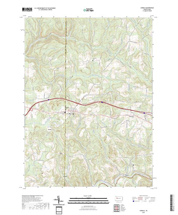
Corsica and Roseville anchor this survey of the upland drainage between the Clarion Co and Jefferson Co border. The landscape is defined by the deep dissection of the plateau by Redbank Creek and its many tributaries, including Little Piney Creek and Mill Creek. This topography influenced the placement of early settlements and roads, which largely follow the higher ridges or trace the winding valley floors.
Find a feature on this map
102 named features on this map. Tap any name to fly to it.
Don’t see what you’re looking for? This feature index may not catch every label — zoom into the map to look around manually.
Map Details
Date Portrayed2023
Date Published2023
PublisherU.S. Geological Survey
Map TypeTopographic
Scale1:24000
Physical Dimensions24 x 29 inches
Editions of this 2023 Corsica Map
This is the sole edition of this map. No revisions or reprints were ever made.
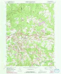
Historical Maps of Union Township Through Time
Featured Locations
Source Details
SourceU.S. Geological Survey
CopyrightPublic Domain