2000s (21st Century) Maps of Greenfield Township, Pennsylvania
Explore 20 historic maps of Greenfield Township from the 2000s (21st Century). These maps offer a rare glimpse into what life looked like during the 2000s — showing old roads, neighborhoods, homes, and landmarks that have changed or disappeared over time.
Whether you're researching your family's past, planning a metal detecting trip, or studying how Greenfield Township's landscape evolved across the 2000s, these high-resolution maps are a powerful tool for exploring the history of this region.
- Focus on a specific era: All maps on this page are from the 2000s, giving you a focused view of this time period.
- See what’s changed: Compare century-old streets, trails, and buildings to today's modern landscape using overlays and satellite layers.
- Research with precision: Use these maps for genealogy, historical research, land use analysis, or educational projects.
- View, download, or print: Maps are fully viewable online in high resolution, and can be downloaded or printed for your own records.
Start exploring Greenfield Township's history through authentic maps from the 2000s. This is your window into the past.
Greenfield Township, PA maps
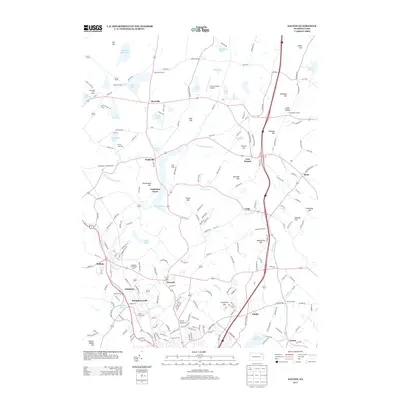
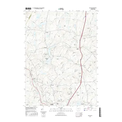
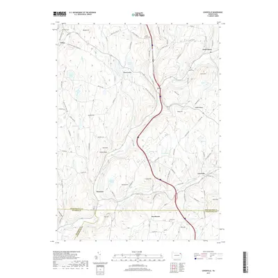
(20)- 2010 Map of Carbondale, 2010 Print
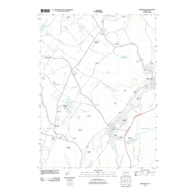 2010 Carbondale2010 Print · USGSCovers Greenfield Township, including Carbondale, Scott Township, and other nearby areas
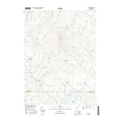
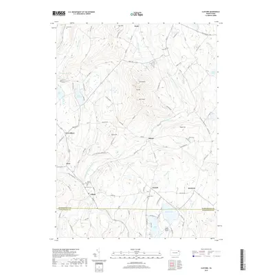
 - 2010 Map of Clifford, 2010 Print
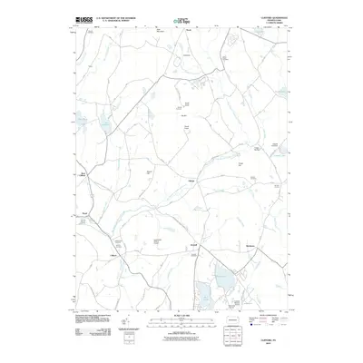 2010 Clifford2010 Print · USGSCovers Greenfield Township, including Clifford Township, Gibson Township, and other nearby areas
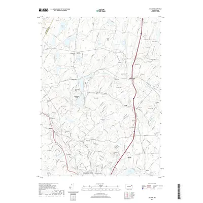
 - 2010 Map of Dalton, 2010 Print
 2010 Dalton2010 Print · USGSCovers Greenfield Township, including Scott Township, Glenburn Township, and other nearby areas
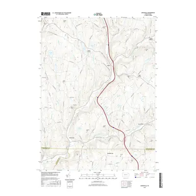
 - 2010 Map of Lenoxville, 2010 Print
 2010 Lenoxville2010 Print · USGSCovers Greenfield Township, including Clifford Township, Lenox Township, and other nearby areas
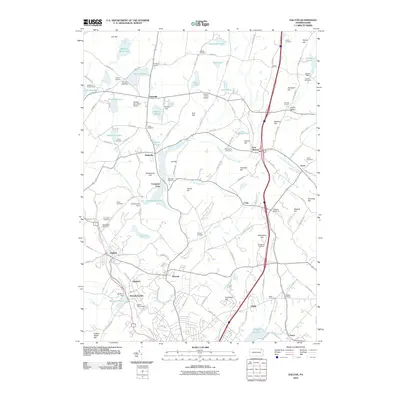
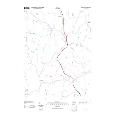
 - 2013 Map of Dalton, 2013 Print
 2013 Dalton2013 Print · USGSCovers Greenfield Township, including Scott Township, Glenburn Township, and other nearby areas
 - 2013 Map of Carbondale, 2013 Print
 2013 Carbondale2013 Print · USGSCovers Greenfield Township, including Carbondale, Scott Township, and other nearby areas
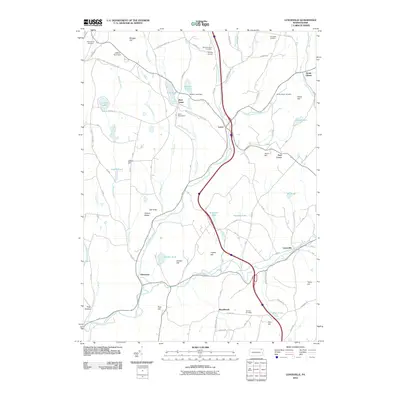
 - 2013 Map of Clifford, 2013 Print
 2013 Clifford2013 Print · USGSCovers Greenfield Township, including Clifford Township, Gibson Township, and other nearby areas
 - 2013 Map of Lenoxville, 2013 Print
 2013 Lenoxville2013 Print · USGSCovers Greenfield Township, including Clifford Township, Lenox Township, and other nearby areas
 - 2016 Map of Lenoxville, 2016 Print
 2016 Lenoxville2016 Print · USGSCovers Greenfield Township, including Clifford Township, Lenox Township, and other nearby areas
 - 2016 Map of Dalton, 2016 Print
 2016 Dalton2016 Print · USGSCovers Greenfield Township, including Scott Township, Glenburn Township, and other nearby areas
 - 2016 Map of Clifford, 2016 Print
 2016 Clifford2016 Print · USGSCovers Greenfield Township, including Clifford Township, Gibson Township, and other nearby areas
 - 2016 Map of Carbondale, 2016 Print
 2016 Carbondale2016 Print · USGSCovers Greenfield Township, including Carbondale, Scott Township, and other nearby areas
 - 2019 Map of Carbondale, 2019 Print
 2019 Carbondale2019 Print · USGSCovers Greenfield Township, including Carbondale, Scott Township, and other nearby areas
 - 2019 Map of Clifford, 2019 Print
 2019 Clifford2019 Print · USGSCovers Greenfield Township, including Clifford Township, Gibson Township, and other nearby areas
 - 2019 Map of Lenoxville, 2019 Print
 2019 Lenoxville2019 Print · USGSCovers Greenfield Township, including Clifford Township, Lenox Township, and other nearby areas
 - 2019 Map of Dalton, 2019 Print
 2019 Dalton2019 Print · USGSCovers Greenfield Township, including Scott Township, Glenburn Township, and other nearby areas
 - 2023 Map of Clifford, 2023 Print
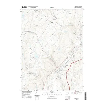
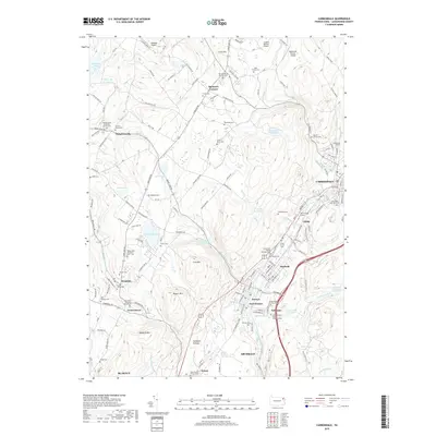
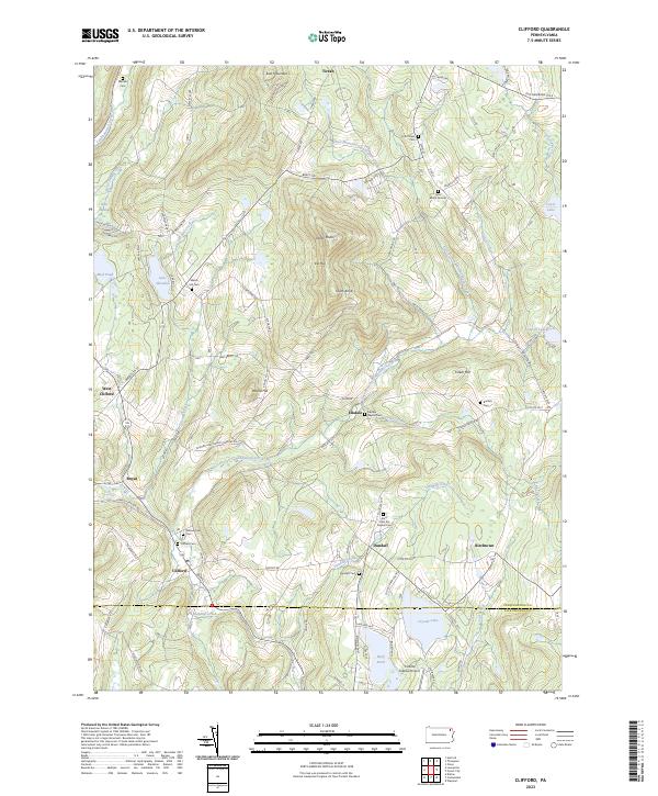 2023 Clifford2023 Print · USGSSusquehanna County highlands are shown here in the 2020s, centered on the historic crossroads of Clifford and Dundaff. Genealogists can trace family heritage at the Lyon Burial Ground, Welsh Hill Cem, and the Burdick Cem.
 - 2023 Map of Dalton, 2023 Print
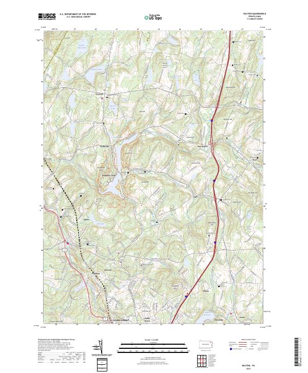 2023 Dalton2023 Print · USGSIn the Lackawanna Valley at the turn of the century, the landscape transitioned from scattered family farms to cohesive residential communities. Researchers can trace ancestral roots through dozens of local burial grounds like Hickory Grove Cem or locate former airfield sites like Grayce Farms Airport.
 - 2023 Map of Carbondale, 2023 Print
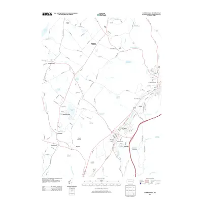
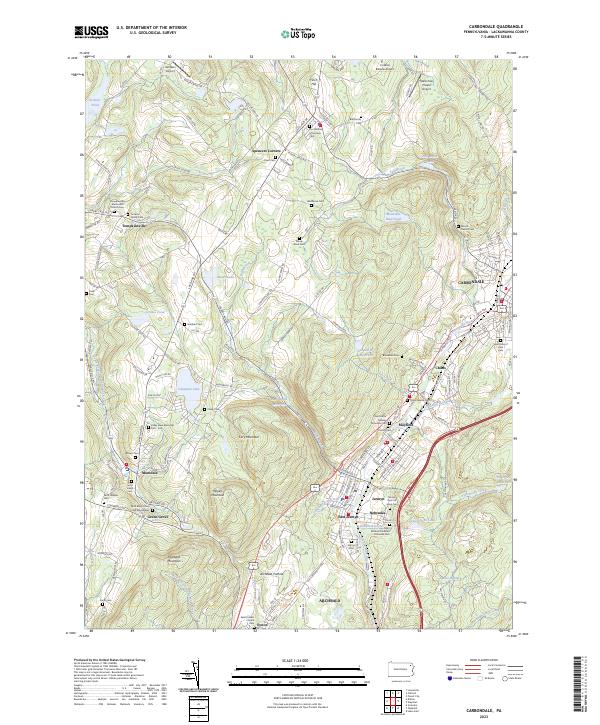 2023 Carbondale2023 Print · USGSThe Lackawanna River valley near Carbondale was a hub of anthracite-era growth and diverse immigrant settlement in the early twenty-first century. Genealogists can trace family heritage through numerous sites including Childs Jewish Cem, Wedeman Cem, and the unique Archbald Pothole.
 - 2023 Map of Lenoxville, 2023 Print
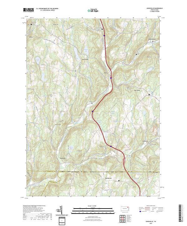 2023 Lenoxville2023 Print · USGSSusquehanna County at the turn of the twenty-first century reveals a landscape of winding creeks and high ridges. Trace local history through Maplewood Cemetery, follow the path of Tunkhannock Creek, or locate the historic West Lenox settlement.
End of results
Showing maps 1-20 of 20
Top cities near Greenfield Township
- Scranton historical maps
- Dunmore historical maps
- Carbondale historical maps
- Blakely historical maps
- Archbald historical maps
- Taylor historical maps
See more
Top neighborhoods of Greenfield Township
Frequently asked questions
- What are the different types of historical maps available for Greenfield Township?
- What is the oldest map of Greenfield Township?
- Where can I purchase historical maps of Greenfield Township for my home or office?
- Where can I download high-res historical maps of Greenfield Township?
- Are there historical topographic maps available for Greenfield Township?
- Is there historical aerial imagery available for Greenfield Township?
- Where are historical maps of Greenfield Township sourced from?