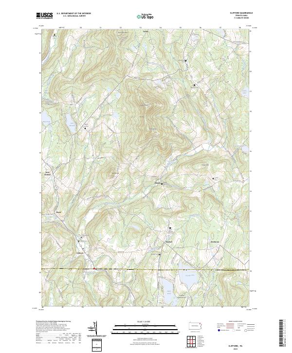
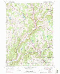
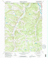
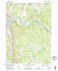
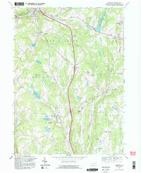
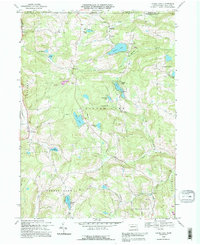
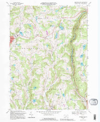
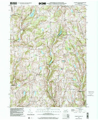
2023 Map of Clifford
USGS Topo · Published 2023About this map
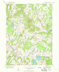
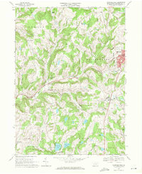
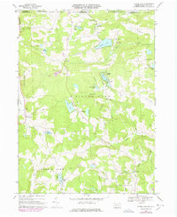
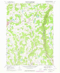
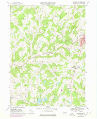
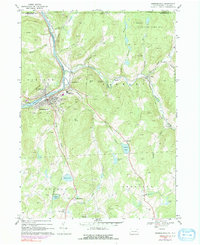
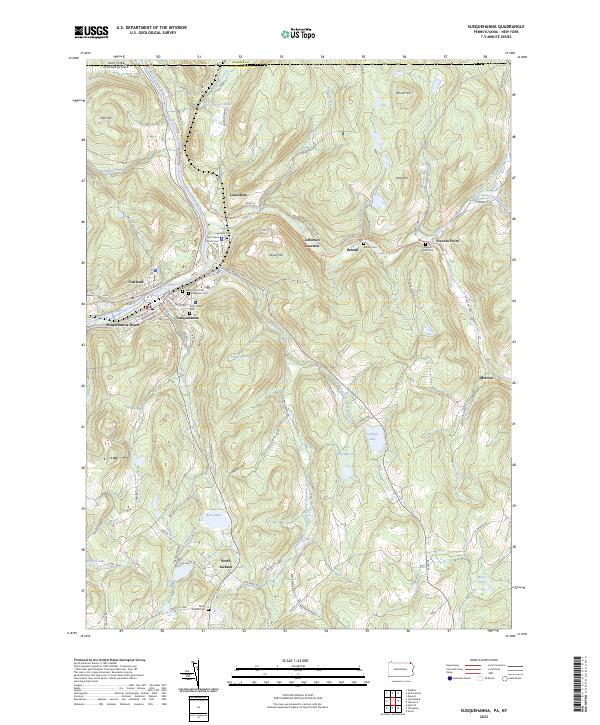
The high peaks of Elk Hill and North Knob dominate the landscape of southern Susquehanna County, where traditional agriculture and rural settlements meet the upper reaches of the East Branch Tunkhannock Creek. Historically significant transport routes such as the Old Newburg Tpke and the Milford and Owego Turnpike Rd cut through the terrain, connecting old crossroads like Dundaff and Clifford. The area is densely marked with family-named burial sites and historic congregations, including the Elkdale Baptist Cem and Saint John the Baptist Cem. These features, along with the presence of Cosklos Elkview Airport and various upland meadows, reflect a community that has maintained its rural character while adapting to modern aviation and local recreation. The boundary between Susquehanna Co and Lackawanna Co passes just south of Crystal Lake, anchoring the map's southern edge.
Find a feature on this map
79 named features on this map. Tap any name to fly to it.
Don’t see what you’re looking for? This feature index may not catch every label — zoom into the map to look around manually.
Map Details
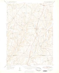
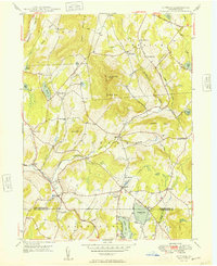
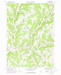
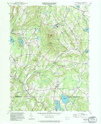
Editions of this 2023 Clifford Map
This is the sole edition of this map. No revisions or reprints were ever made.
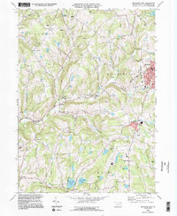
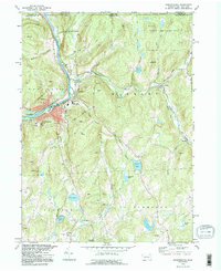
Historical Maps of Greenfield Township Through Time
43 maps found

1932 Susquehanna
Susquehanna County, PA
1935 Susquehanna
Susquehanna County, PA
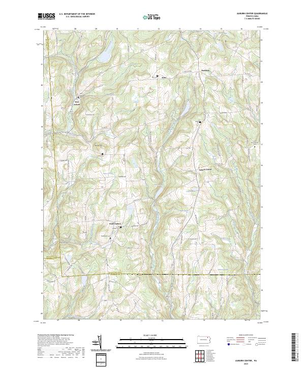
1945 Auburn Center
Susquehanna County, PA
1946 Clifford
Susquehanna County, PA
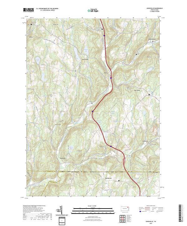
1946 Lenoxville
Susquehanna County, PA
1946 Springville
Susquehanna County, PA
1947 Auburn Center
Susquehanna County, PA
1947 Hopbottom
Susquehanna County, PA
1948 Clifford
Susquehanna County, PA
1948 Springville
Susquehanna County, PA
1949 Clifford
Susquehanna County, PA

1949 Lenoxville
Susquehanna County, PA
1967 Lawton
Susquehanna County, PA
1967 Montrose West
Susquehanna County, PA
1968 Franklin Forks
Susquehanna County, PA
1968 Great Bend
Susquehanna County, PA
1968 Harford
Susquehanna County, PA
1968 Laurel Lake
Susquehanna County, PA
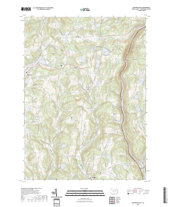
1968 Montrose East
Susquehanna County, PA
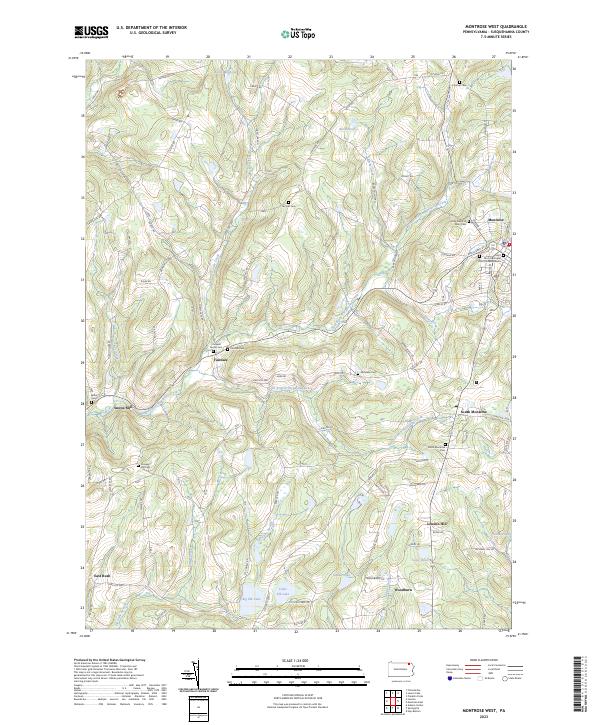
1968 Montrose West
Susquehanna County, PA
1968 Susquehanna
Susquehanna County, PA
1992 Franklin Forks
Susquehanna County, PA
1992 Great Bend
Susquehanna County, PA
1992 Harford
Susquehanna County, PA
1992 Laurel Lake
Susquehanna County, PA
1992 Montrose East
Susquehanna County, PA
1994 Clifford
Susquehanna County, PA
1994 Montrose West
Susquehanna County, PA
1994 Susquehanna
Susquehanna County, PA
1999 Auburn Center
Susquehanna County, PA
1999 Lenoxville
Susquehanna County, PA
2023 Auburn Center
Susquehanna County, PA
2023 Clifford
Susquehanna County, PA
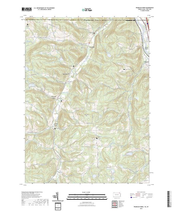
2023 Franklin Forks
Susquehanna County, PA
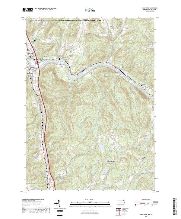
2023 Great Bend
Susquehanna County, PA
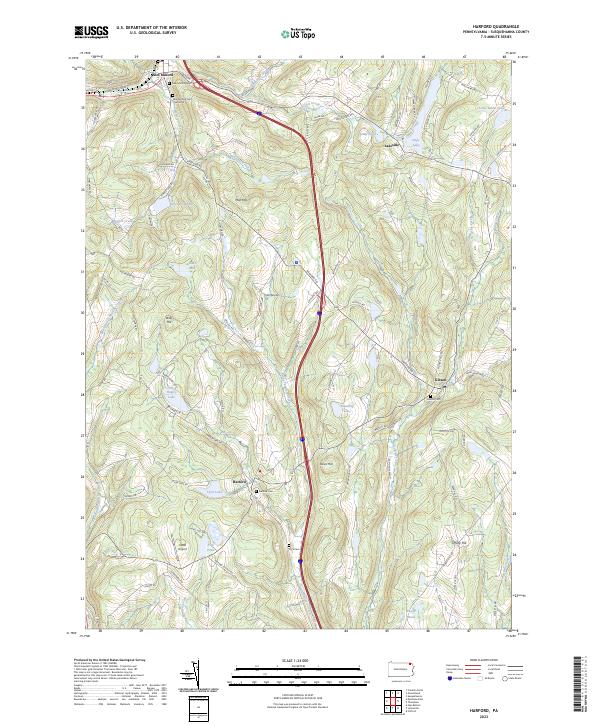
2023 Harford
Susquehanna County, PA
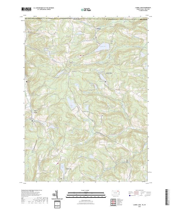
2023 Laurel Lake
Susquehanna County, PA
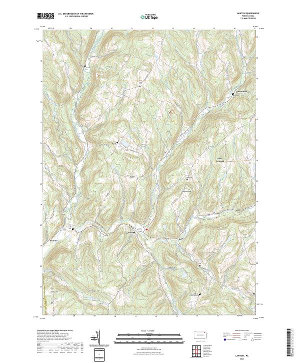
2023 Lawton
Susquehanna County, PA
2023 Lenoxville
Susquehanna County, PA
2023 Montrose East
Susquehanna County, PA
2023 Montrose West
Susquehanna County, PA
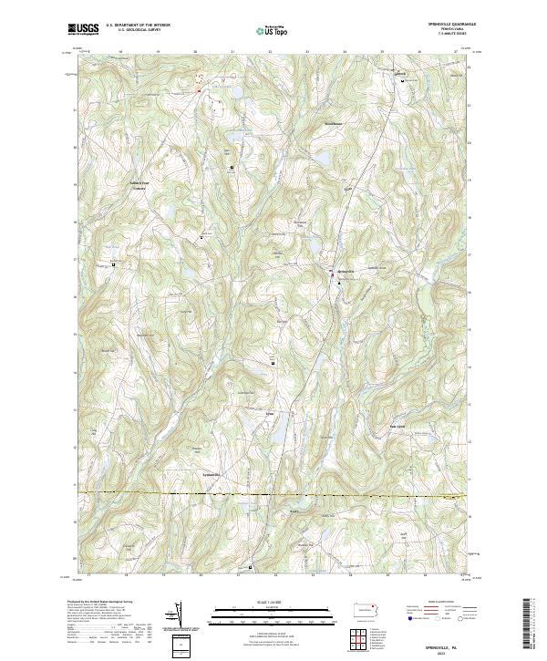
2023 Springville
Susquehanna County, PA
2023 Susquehanna
Susquehanna County, PA
Featured Locations
- Fell Township, PA
- Greenfield Township, PA
- Herrick Township, PA
- Clifford Township, PA
- Gibson Township, PA