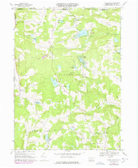
1968 Map of Laurel Lake
USGS Topo · Published 1978About this map
Silver Lake and the surrounding highlands of Susquehanna County define this landscape just south of the New York-Pennsylvania border in the late 1960s. The map illustrates a rural interior transition, where early agricultural patterns meet a mid-century increase in recreational water bodies. Numerous smaller lakes, including Meeker Lake, Lake Marge, and the aptly named Pops Hobby Lake, dot the terrain between the ridges.
Find a feature on this map
40 named features on this map. Tap any name to fly to it.
Don’t see what you’re looking for? This feature index may not catch every label — zoom into the map to look around manually.
Map Details
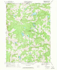
Editions of this 1968 Laurel Lake Map
2 editions found
Other maps of this area

1901 · Apalachin
USGS Topo · 1:62,500

1904 · Binghamton
USGS Topo · 1:62,500

1904 · Apalachin
USGS Topo · 1:62,500

1906 · Catatonk
USGS Topo · 1:125,000

1935 · Binghamton West
USGS Topo · 1:24,000

1937 · Binghamton East
USGS Topo · 1:24,000

1942 · Binghamton West
USGS Topo · 1:31,680

1942 · Binghamton East
USGS Topo · 1:31,680

1943 · Montrose
USGS Topo · 1:62,500

1943 · Le Raysville
USGS Topo · 1:62,500