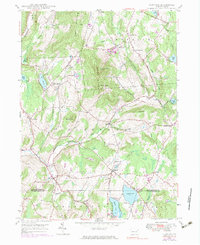
1946 Map of Clifford
USGS Topo · Published 1983About this map
Elk Hill dominates this corner of Northeast Pennsylvania, anchored by the prominent elevations of North Knob and South Knob. The landscape is a patchwork of small agricultural settlements and rural gathering places, including Tirzah, Elkdale, and Burdick Corners. Water defines the valleys, with the Tunkhannock Creek and its branches winding through the terrain, while larger bodies like Crystal Lake and Newton Lake provide focal points near the southern boundary between Susquehanna and Lackawanna Counties.
Find a feature on this map
46 named features on this map. Tap any name to fly to it.
Don’t see what you’re looking for? This feature index may not catch every label — zoom into the map to look around manually.
Map Details
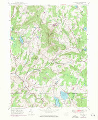
Editions of this 1946 Clifford Map
2 editions found
Other maps of this area

1892 · Honesdale
USGS Topo · 1:62,500

1892 · Dundaff
USGS Topo · 1:62,500

1926 · Starrucca
USGS Topo · 1:62,500

1930 · Starrucca
USGS Topo · 1:48,000

1932 · Susquehanna
USGS Topo · 1:62,500

1933 · Starrucca
USGS Topo · 1:62,500

1935 · Susquehanna
USGS Topo · 1:62,500

1943 · Honesdale
USGS Topo · 1:125,000

1946 · Dalton
USGS Topo · 1:24,000

1946 · Forest City
USGS Topo · 1:24,000