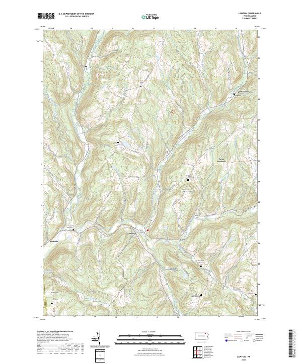
2023 Map of Lawton
USGS Topo · Published 2023About this map
Lawton sits at the convergence of vital waterways in this rural Susquehanna County landscape, where the North Branch Wyalusing Creek and Middle Branch Wyalusing Creek meet. This modern survey reflects a deeply established agricultural and residential pattern, characterized by numerous family-named hills and cemeteries that date back generations. Settlements like Rush, Birchardville, and Rushville remain centers of local activity, connected by a network of winding roads such as State Rte 4017 and Pennsylvania Ave. The map identifies several historical burial sites including Saint Patricks Cem and County Home Cem, providing essential data for genealogical research. Small bodies of water like Rigsby Pond and the winding course of Elk Lake Stream define the valleys, while upland areas like Devine Ridge and Fowler Hill illustrate the region's characteristic elevation changes.
Find a feature on this map
76 named features on this map. Tap any name to fly to it.
Don’t see what you’re looking for? This feature index may not catch every label — zoom into the map to look around manually.
Map Details
Editions of this 2023 Lawton Map
This is the sole edition of this map. No revisions or reprints were ever made.
Other maps of this area

1943 · Montrose
USGS Topo · 1:62,500

1943 · Le Raysville
USGS Topo · 1:62,500

1945 · Montrose
USGS Topo · 1:62,500

1945 · Le Raysville
USGS Topo · 1:62,500

1945 · Meshoppen
USGS Topo · 1:62,500

1945 · Auburn Center
USGS Topo · 1:24,000

1945 · Laceyville
USGS Topo · 1:24,000

1946 · Tunkhannock
USGS Topo · 1:62,500

1946 · Springville
USGS Topo · 1:24,000
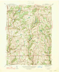
1947 · Auburn Center
USGS Topo · 1:31,680
Featured Places
- Rush Township, PA
- Forest Lake Township, PA
- Middletown Township, PA
- Stevens Township, PA
- Parks Crossroad, Jessup Township