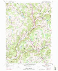
1946 Map of Lenoxville
USGS Topo · Published 1984About this map
The hills of Susquehanna County are defined here by a network of upland farms and small creek-side settlements. Tunkhannock Creek winds through the southern reaches, joined by tributaries like Nine Partners Creek and Sterling Brook. This survey captures the landscape as it transitioned through the mid-20th century, documenting the precise locations of rural social centers like the West Lenox Church and several community landmarks including Wright School and Green Grove School.
Find a feature on this map
57 named features on this map. Tap any name to fly to it.
Don’t see what you’re looking for? This feature index may not catch every label — zoom into the map to look around manually.
Map Details
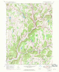
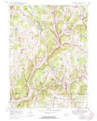
Editions of this 1946 Lenoxville Map
3 editions found
Other maps of this area

1892 · Dundaff
USGS Topo · 1:62,500

1932 · Susquehanna
USGS Topo · 1:62,500

1935 · Susquehanna
USGS Topo · 1:62,500

1943 · Montrose
USGS Topo · 1:62,500

1945 · Montrose
USGS Topo · 1:62,500

1946 · Tunkhannock
USGS Topo · 1:62,500

1946 · Dalton
USGS Topo · 1:24,000

1946 · Carbondale
USGS Topo · 1:24,000

1946 · Factoryville
USGS Topo · 1:24,000
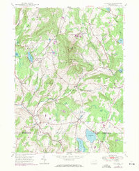
1946 · Clifford
USGS Topo · 1:24,000