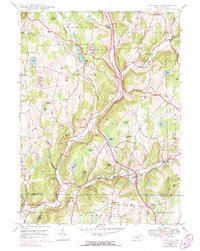
1946 Map of Lenoxville
USGS Topo · Published 1984About this map
Tunk Hannock Creek carves a path through this corner of Susquehanna and Lackawanna Counties, anchoring a landscape defined by small valley settlements and high ridgelines. By the mid-1940s, the rural character of the area was firmly established around intersections like Lenoxville, South Gibson, and Glenwood. The presence of several family-named landmarks and local institutions, such as the Wright Sch and West Lenox Ch, reflects a communal structure built on localized farming and small-scale transit.
Find a feature on this map
55 named features on this map. Tap any name to fly to it.
Don’t see what you’re looking for? This feature index may not catch every label — zoom into the map to look around manually.
Map Details
Editions of this 1946 Lenoxville Map
3 editions found
Other maps of this area

1892 · Dundaff
USGS Topo · 1:62,500

1932 · Susquehanna
USGS Topo · 1:62,500

1935 · Susquehanna
USGS Topo · 1:62,500

1943 · Montrose
USGS Topo · 1:62,500

1945 · Montrose
USGS Topo · 1:62,500

1946 · Tunkhannock
USGS Topo · 1:62,500

1946 · Dalton
USGS Topo · 1:24,000

1946 · Carbondale
USGS Topo · 1:24,000

1946 · Factoryville
USGS Topo · 1:24,000
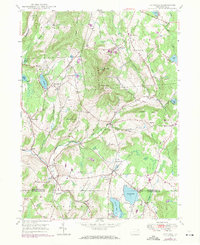
1946 · Clifford
USGS Topo · 1:24,000