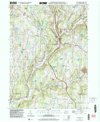
1999 Map of Lenoxville
USGS Topo · Published 2001About this map
Nine Partners Creek and Butler Creek converge in this northern Susquehanna County landscape, a region defined by its narrow valley settlements and high ridgelines at the close of the twentieth century. The map reveals the rural infrastructure of the Lenox and Gibson townships, where older landmarks like the West Lenox Ch and Maplewood Cem persist alongside modern transportation corridors. The village of Lenoxville sits at the eastern edge of the sheet, while the topography rises toward Hickory Ridge and Gunn Hill.
Find a feature on this map
60 named features on this map. Tap any name to fly to it.
Don’t see what you’re looking for? This feature index may not catch every label — zoom into the map to look around manually.
Map Details
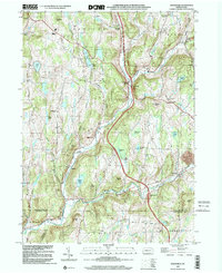
Editions of this 1999 Lenoxville Map
2 editions found
Other maps of this area

1892 · Dundaff
USGS Topo · 1:62,500

1932 · Susquehanna
USGS Topo · 1:62,500

1935 · Susquehanna
USGS Topo · 1:62,500

1943 · Montrose
USGS Topo · 1:62,500

1945 · Montrose
USGS Topo · 1:62,500

1946 · Tunkhannock
USGS Topo · 1:62,500

1946 · Dalton
USGS Topo · 1:24,000

1946 · Carbondale
USGS Topo · 1:24,000

1946 · Factoryville
USGS Topo · 1:24,000
1946 · Clifford
USGS Topo · 1:24,000