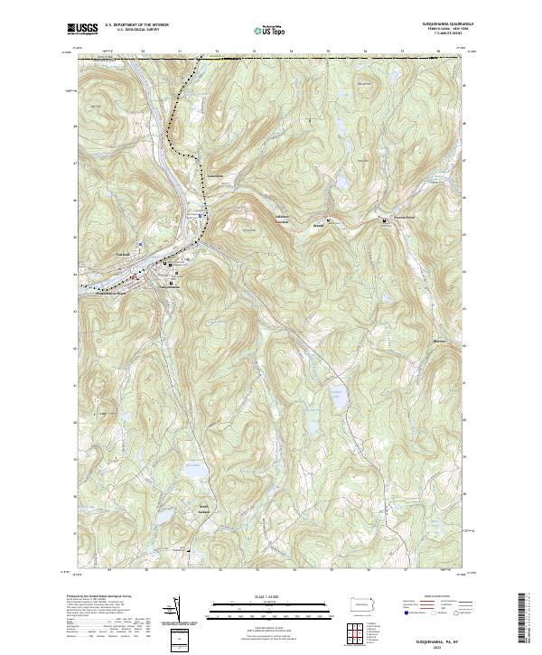
2023 Map of Susquehanna
USGS Topo · Published 2023About this map
The Susquehanna River bends sharply through this northern Pennsylvania landscape, defining the layout of the twin boroughs of Oakland and Susquehanna. This area is shaped by its industrial heritage, specifically as a former railroad hub centered around Susquehanna Depot. The transition from rail commerce to contemporary recreation is evident in the D & H Rail-Trl, which now follows the historic corridor through Jefferson Junction and toward Brandt.
Find a feature on this map
100 named features on this map. Tap any name to fly to it.
Don’t see what you’re looking for? This feature index may not catch every label — zoom into the map to look around manually.
Map Details
Editions of this 2023 Susquehanna Map
This is the sole edition of this map. No revisions or reprints were ever made.
Other maps of this area

1905 · Nineveh
USGS Topo · 1:62,500

1924 · Starrucca
USGS Topo · 1:48,000

1924 · Deposit
USGS Topo · 1:62,500

1926 · Deposit
USGS Topo · 1:62,500

1926 · Starrucca
USGS Topo · 1:62,500

1930 · Starrucca
USGS Topo · 1:48,000

1932 · Susquehanna
USGS Topo · 1:62,500

1933 · Starrucca
USGS Topo · 1:62,500

1935 · Susquehanna
USGS Topo · 1:62,500

1943 · Honesdale
USGS Topo · 1:125,000