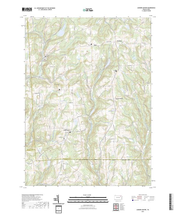
2023 Map of Auburn Center
USGS Topo · Published 2023About this map
The rolling highlands where Susquehanna, Bradford, and Wyoming Counties meet are defined by small agricultural hamlets and a dense network of family-named cemeteries. Small population centers like Auburn Center, West Auburn, and South Auburn anchor a landscape drained by the Little Meshoppen Creek and Tuscarora Creek. Genealogists will find a concentration of burial sites across these hills, including the Bolles Cem and Domblazer Cem, reflecting generations of settlement in this rural corner of Pennsylvania. High points like Yonker Hill and Round Top overlook a series of small water bodies such as Lott Pond and Nick Pond, while the winding courses of Beaver Meadow Creek and Carter Creek follow the narrow valleys. This modern survey from the U.S. Geological Survey documents the enduring rural character and road networks, such as State Rte 3004, that connect these historic communities.
Find a feature on this map
45 named features on this map. Tap any name to fly to it.
Don’t see what you’re looking for? This feature index may not catch every label — zoom into the map to look around manually.
Map Details
Editions of this 2023 Auburn Center Map
This is the sole edition of this map. No revisions or reprints were ever made.
Other maps of this area

1943 · Montrose
USGS Topo · 1:62,500

1943 · Le Raysville
USGS Topo · 1:62,500

1945 · Montrose
USGS Topo · 1:62,500

1945 · Le Raysville
USGS Topo · 1:62,500

1945 · Meshoppen
USGS Topo · 1:62,500

1945 · Auburn Center
USGS Topo · 1:24,000

1945 · Jenningsville
USGS Topo · 1:24,000

1945 · Meshoppen
USGS Topo · 1:24,000

1945 · Laceyville
USGS Topo · 1:24,000

1946 · Tunkhannock
USGS Topo · 1:62,500
Featured Places
- Rush Township, PA
- Auburn Township, PA
- Stevens Township, PA
- Meshoppen Township, PA
- Washington Township, PA