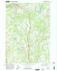
1992 Map of Harford
USGS Topo · Published 1995About this map
The intersection of agriculture and industry is evident across the township boundaries of New Milford, Harford, and Gibson. Numerous quarries, such as those flanking Mott Hill and Jones Hill, underscore the area's extractive economy during the late 20th century. Local landmarks like the Fairgrounds near the center of Harford and Sweet Chapel to the northwest reflect the social and spiritual hubs of these rural communities.
Find a feature on this map
43 named features on this map. Tap any name to fly to it.
Don’t see what you’re looking for? This feature index may not catch every label — zoom into the map to look around manually.
Map Details
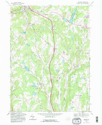
Editions of this 1992 Harford Map
2 editions found
Other maps of this area

1892 · Dundaff
USGS Topo · 1:62,500

1932 · Susquehanna
USGS Topo · 1:62,500

1935 · Susquehanna
USGS Topo · 1:62,500

1943 · Montrose
USGS Topo · 1:62,500

1945 · Montrose
USGS Topo · 1:62,500

1946 · Tunkhannock
USGS Topo · 1:62,500
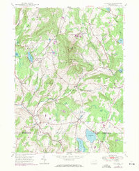
1946 · Clifford
USGS Topo · 1:24,000

1946 · Hop Bottom
USGS Topo · 1:24,000
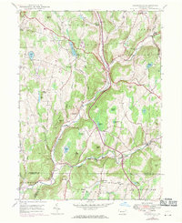
1946 · Lenoxville
USGS Topo · 1:24,000

1947 · Hopbottom
USGS Topo · 1:24,000