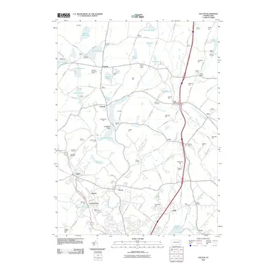
2010 Map of Dalton
USGS Topo · Published 2010About this map
Dalton and the surrounding townships of Lackawanna County are characterized by a landscape of glacial lakes and prominent family-named hills. The South Branch Tunkhannock Creek winds through the western half of the map, feeding into Lackawanna Lake and Lilly Lake, which define the local recreation and drainage patterns. Large bodies of water like Lake Sheridan and Lake Kewanee are surrounded by small clusters of settlements, while smaller ponds like Handsome Pond and Mud Pond dot the northern reaches near Amasa.
Find a feature on this map
133 named features on this map. Tap any name to fly to it.
Don’t see what you’re looking for? This feature index may not catch every label — zoom into the map to look around manually.
Map Details
Editions of this 2010 Dalton Map
This is the sole edition of this map. No revisions or reprints were ever made.
Other maps of this area

1889 · Scranton
USGS Topo · 1:62,500

1891 · Scranton
USGS Topo · 1:62,500

1892 · Dundaff
USGS Topo · 1:62,500

1893 · Pittston
USGS Topo · 1:62,500

1893 · Scranton
USGS Topo · 1:62,500

1943 · Scranton
USGS Topo · 1:125,000

1946 · Tunkhannock
USGS Topo · 1:62,500

1946 · Dalton
USGS Topo · 1:24,000

1946 · Olyphant
USGS Topo · 1:24,000

1946 · Ransom
USGS Topo · 1:24,000