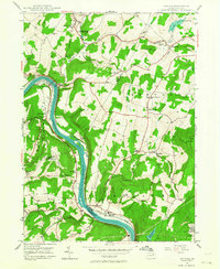
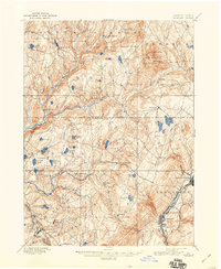
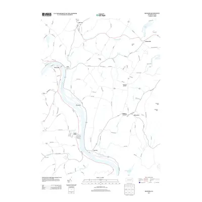
1946 Map of Ransom
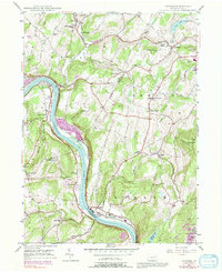
USGS Topo · Published 1964About this map
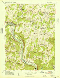
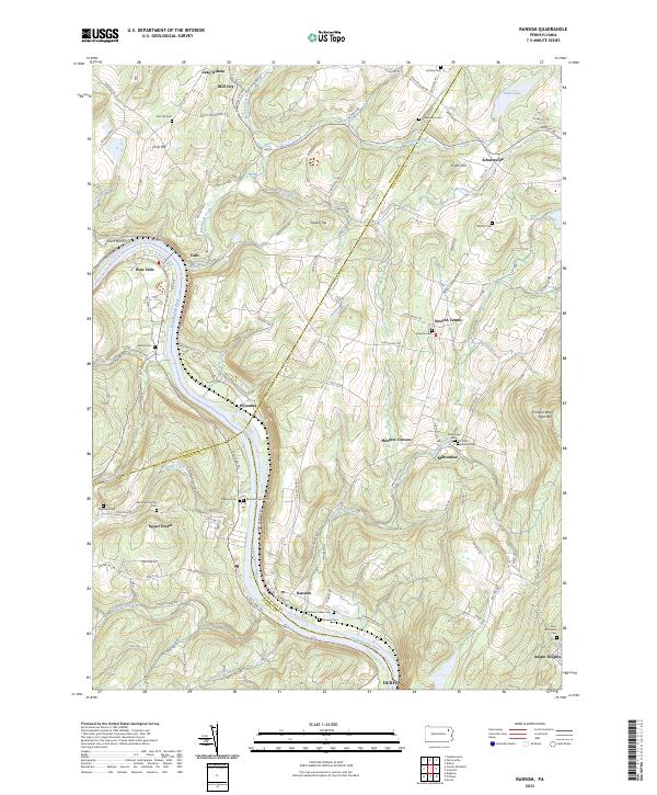
The Susquehanna River carves a deep, winding path through this landscape, serving as a natural boundary between Wyoming and Lackawanna counties. Along its banks, the Lehigh Valley railroad follows the water level, supporting the river-valley economy near Ransom and West Falls. This 1940s topography captures a transition between rural agriculture and early mid-century infrastructure, featuring the Scranton Airport and the sprawling grounds of the Ransom-Newton State Hospital. Local education and faith are anchored by the Newton-Ransom Sch and Bethel Ch, while higher elevations like Bald Mtn and Griffin Hill overlook the valley. Roadways such as the Roosevelt Highway and the historic Sullivan Trail cut through the terrain, connecting small settlements like Schultzville and Milwaukee.
Find a feature on this map
58 named features on this map. Tap any name to fly to it.
Don’t see what you’re looking for? This feature index may not catch every label — zoom into the map to look around manually.
Map Details
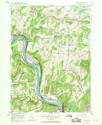
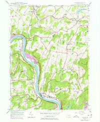
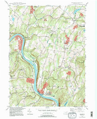
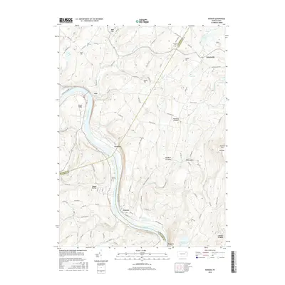
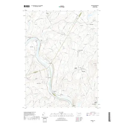
Editions of this 1946 Ransom Map
4 editions found
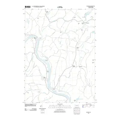
Historical Maps of Falls Township Through Time
9 maps found
Featured Locations
- Falls Township, PA
- Ransom Township, PA
- Glenburn Township, PA
- Upper Exeter, Exeter Township
- Mill City, Falls Township