
1946 Map of Kingston
USGS Topo · Published 1959About this map
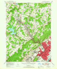
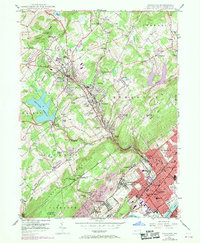
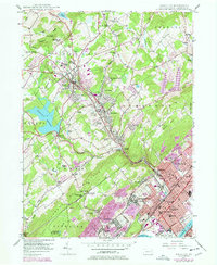
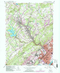
Misericordia College and the surrounding heights of Dallas anchor the northern landscape of this mid-century survey, where the valley begins its descent toward the industrial heart of the Wyoming Valley. The terrain is defined by the sharp transition from the wooded slopes of Chestnut Ridge and Bunker Hill to the densely settled riverfront boroughs. Along the Susquehanna River, the urban corridor of Kingston, Forty Fort, and Edwardsville shows a tight-knit grid of streets and institutional landmarks, including Wyoming Seminary and Nesbitt Memorial Hospital.
Find a feature on this map
91 named features on this map. Tap any name to fly to it.
Don’t see what you’re looking for? This feature index may not catch every label — zoom into the map to look around manually.
Map Details
Editions of this 1946 Kingston Map
5 editions found
Other maps of this area

1891 · Wilkesbarre
USGS Topo · 1:62,500

1891 · Harveys Lake
USGS Topo · 1:62,500

1893 · Harvey Lake
USGS Topo · 1:62,500

1893 · Pittston
USGS Topo · 1:62,500

1894 · Shickshinny
USGS Topo · 1:62,500

1894 · Wilkesbarre
USGS Topo · 1:62,500

1943 · Scranton
USGS Topo · 1:125,000

1946 · Nanticoke
USGS Topo · 1:31,680

1946 · Harveys Lake
USGS Topo · 1:24,000

1946 · Noxen
USGS Topo · 1:24,000