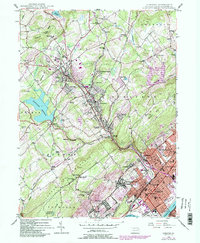
1946 Map of Kingston
USGS Topo · Published 1984About this map
Misericordia College and Wyoming Seminary anchor the educational landscape of this Wyoming Valley map, which captures a period of significant post-war transition in Luzerne County. The sheet reveals a mix of dense urban settlements along the Susquehanna River and the expanding residential pockets in the Back Mountain area. Development centers around established boroughs like Kingston, Swoyersville, and Luzerne, while the interior shows the influence of industry and utility with the Wilkes-Barre Filtration Plant and a prominent Pipeline cutting through the terrain.
Find a feature on this map
81 named features on this map. Tap any name to fly to it.
Don’t see what you’re looking for? This feature index may not catch every label — zoom into the map to look around manually.
Map Details
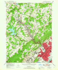
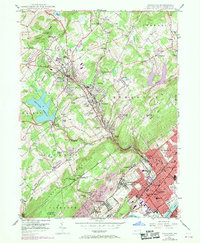
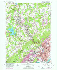
Editions of this 1946 Kingston Map
5 editions found
Other maps of this area

1891 · Wilkesbarre
USGS Topo · 1:62,500

1891 · Harveys Lake
USGS Topo · 1:62,500

1893 · Harvey Lake
USGS Topo · 1:62,500

1893 · Pittston
USGS Topo · 1:62,500

1894 · Shickshinny
USGS Topo · 1:62,500

1894 · Wilkesbarre
USGS Topo · 1:62,500

1943 · Scranton
USGS Topo · 1:125,000

1946 · Nanticoke
USGS Topo · 1:31,680

1946 · Kingston
USGS Topo · 1:24,000

1946 · Harveys Lake
USGS Topo · 1:24,000